Use Cases
Products
Pages
News
Showcase
Tutorials
Download
Pricing
Contact
Sign In
Start for free
Login
Open main menu
Start for free
News
Use Cases
Showcase
Tutorials
Download
Crush & Claims
Crowd Counter
Virtual Reality
SaltBrowse
Pricing
Contact
News
Browse by topic
Drone mapping
Photogrammetry
Drone compatibility
Public safety
Construction and inspection
Labs and AI apps
Comparisons
Scene guides
All articles
Nov 3, 2026
9 min
Switching from Pix4D to SkyeBrowse: A Guide for Crash and Crime Scene Teams
Nov 3, 2026
9 min
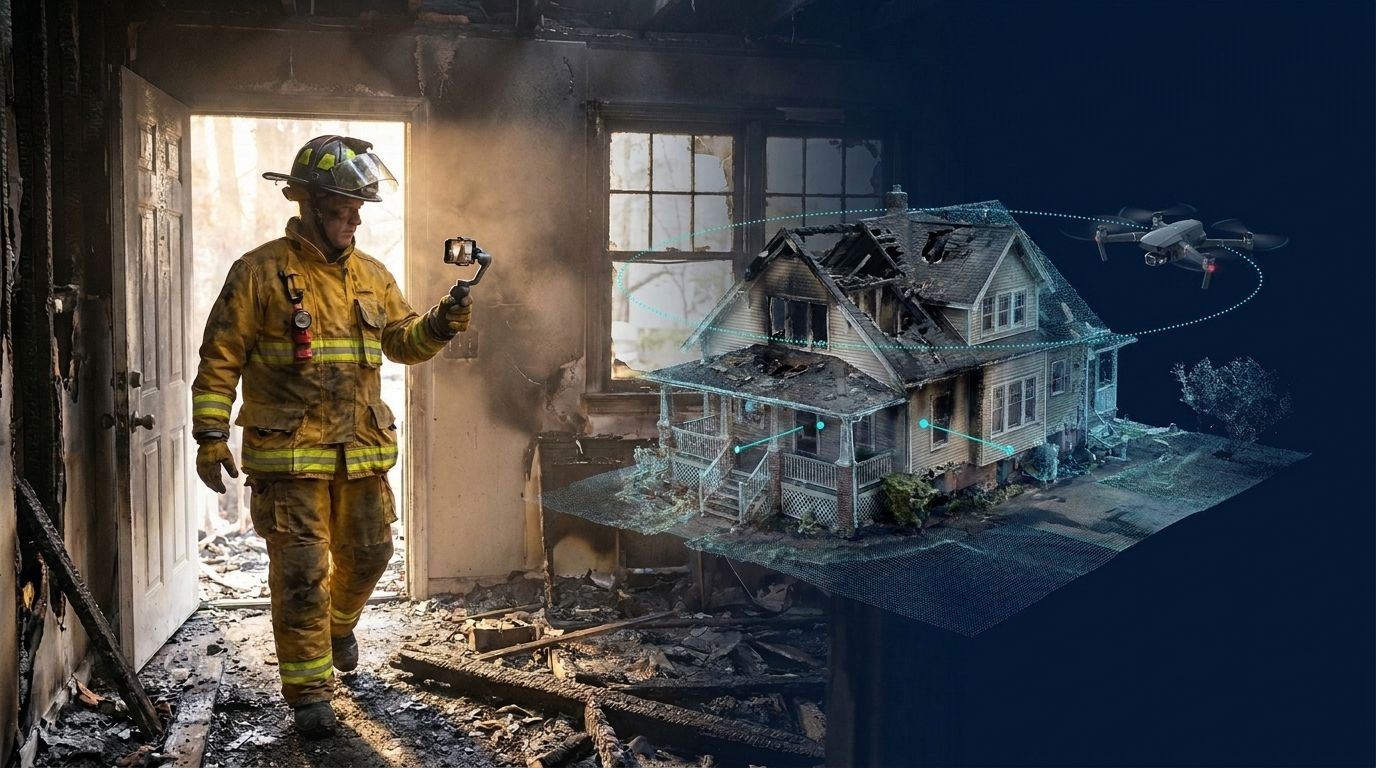
Switching from Matterport to SkyeBrowse: A Guide for Fire Investigators, Agencies, and Construction …
Oct 30, 2026
12 min
DJI Mavic Pro Mapping in 2026: Can the Original Still Map?
Oct 25, 2026
12 min
DJI Mavic 2 Pro Mapping in 2026: Can It Still Make 3D Maps?
Oct 21, 2026
5 min
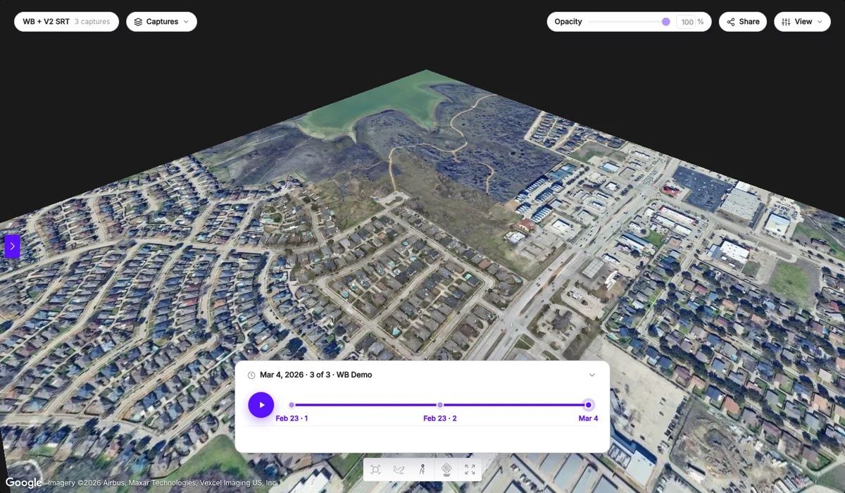
Newsletter: Timelines, Construction Tools, and Camera Coverage
Oct 20, 2026
12 min
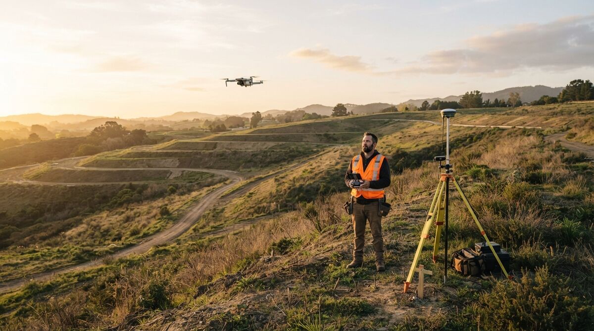
Drone Topographic Survey: How to Get Contours and Elevation from Drone Video
Oct 19, 2026
6 min
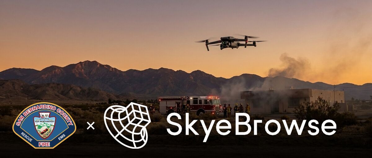
How San Bernardino County Fire Uses SkyeBrowse
Oct 16, 2026
12 min
Crime Scene Sketch: How to Draw a Rough Sketch and a Final Crime Scene Diagram
Oct 15, 2026
12 min
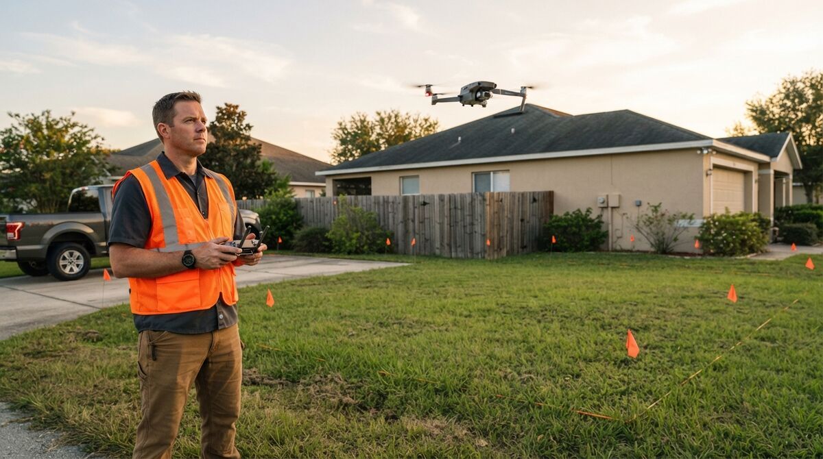
Site Plan Drawing: How to Make an Accurate Site Plan From Drone Video
Showing
1
to
9
of
309
results
<
1
2
3
...
33
34
35
>
Topics
Drone mapping
Photogrammetry
Drone compatibility
Public safety
Construction and inspection
Labs and AI apps
Comparisons
Scene guides
All articles
Popular guides
Drone mapping guide
Free drone mapping software
Best 3D mapping software
Best photogrammetry software
Drone photogrammetry software
Surveying drones
Photogrammetry vs orthomosaic
Product
Pricing
Agency pricing
Supported drones
Download
Crush & Claims
Whitepaper
Company
About us
News
FAQ
Contact
Privacy Policy
Master Services Agreement
Data Processing Agreement
© 2026 SkyeBrowse. All Rights Reserved.