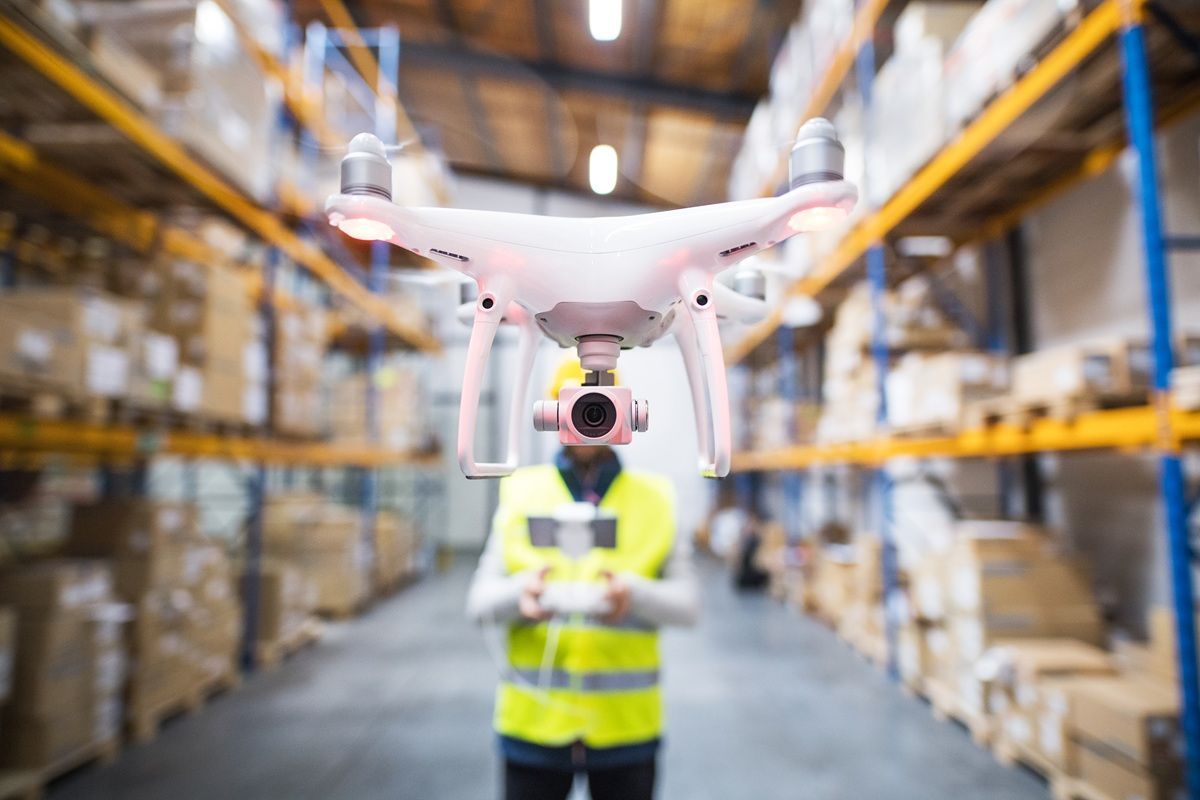
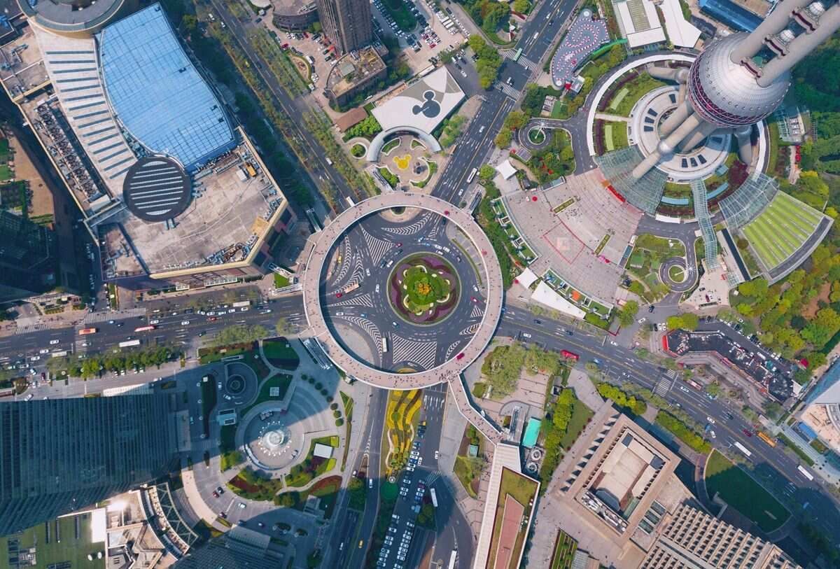
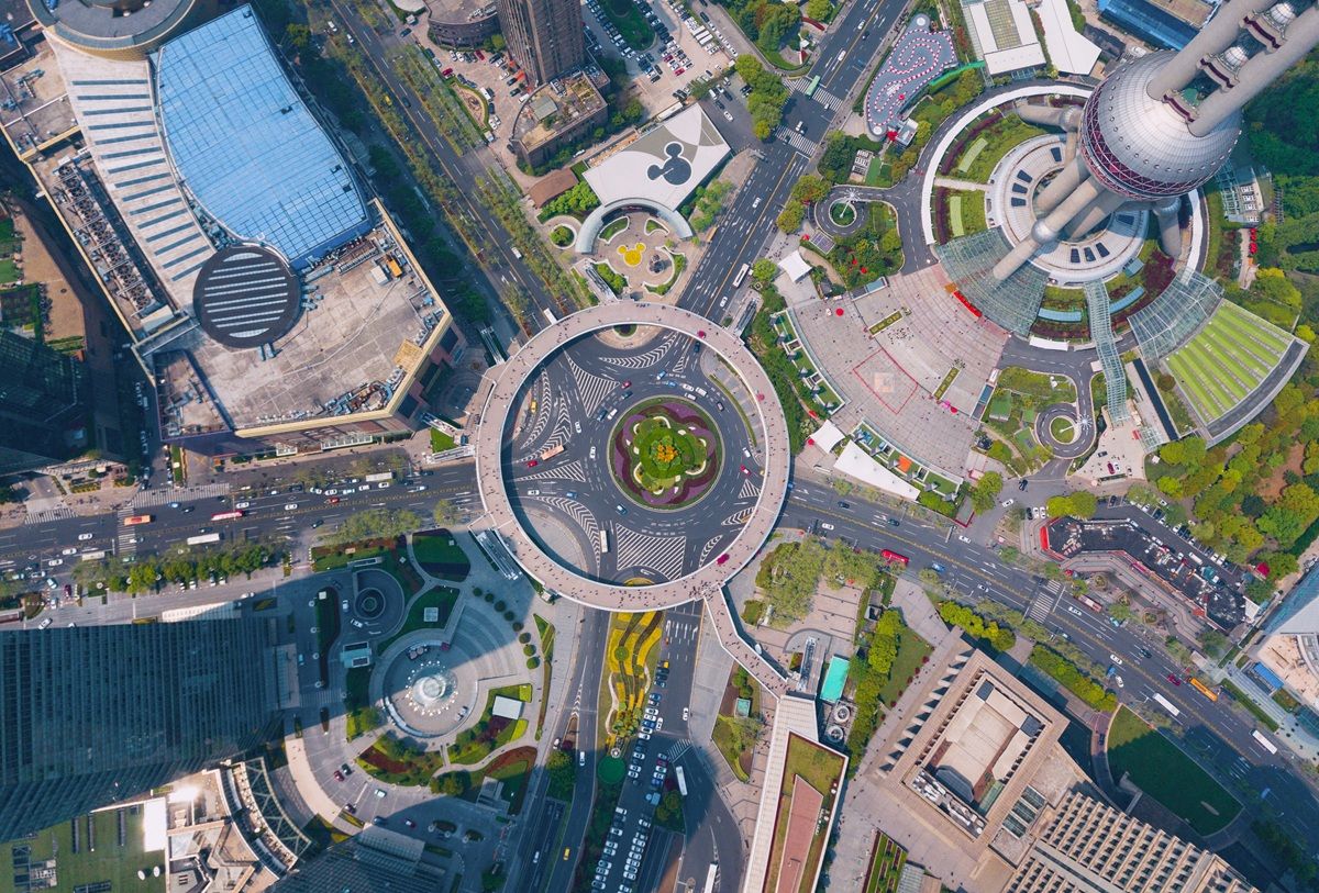
Drone mapping is the process of using unmanned aerial vehicles (UAVs) to capture aerial imagery and convert it into georeferenced 2D maps or 3D models. It has become a standard tool across public safety, construction, surveying, insurance, and infrastructure management. As of 2026, the FAA tracks over 860,000 registered drones in the United States, and mapping represents one of the fastest-growing commercial applications. This guide covers how drone mapping works, which capture method to use, what it costs, and how to choose software for the job.
Key Takeaways
- Drone mapping converts aerial video or photos into orthomosaic maps, 3D models, or point clouds for direct on-screen measurement.
- Photogrammetry, videogrammetry, and LiDAR are the three capture methods; videogrammetry replaces rigid grid flights with a single orbit or walkaround.
- Accuracy scales with capture distance: flying or walking closer to the subject reaches survey-grade tiers, down to 0.1 inch on the SkyeBrowse Public Safety & Enterprise plan.
- Third-party mapping services run $150-$500 per acre; in-house software or per-model credits are usually cheaper for frequent mapping.
- Commercial drone mapping always requires an FAA Part 107 Remote Pilot Certificate, regardless of the software or drone used.
Contents
- What is drone mapping and how does it work?
- What's New in Drone Mapping for 2026?
- What are the main capture methods for UAV mapping?
- What accuracy can you expect from drone mapping?
- What does drone mapping cost?
- What software do you need for drone mapping?
- What industries use drone mapping services?
- What are the FAA regulations for drone mapping?
- How does SkyeBrowse simplify drone mapping?
- Related Guides
- FAQ
- Last Updated
What is drone mapping and how does it work?
Drone mapping uses a UAV to capture overlapping aerial images or continuous video of a site, then processes that footage into calibrated outputs: orthomosaic maps (geometrically corrected aerial mosaics), 3D mesh models, or point clouds. The software calculates camera positions from GPS telemetry and visual feature matching, reconstructing the scene so teams can measure distances, areas, and volumes directly from the output. According to the USGS National Geospatial Program, UAS-derived data is now accepted as a legitimate source for high-resolution elevation and surface models when capture protocols meet positional accuracy standards.
The workflow follows three stages. First, the operator flies the drone over the target area, either on a pre-planned grid path or a freehand orbit, depending on the software. Second, the captured footage uploads to a processing platform, cloud or desktop. Third, the software reconstructs the scene and delivers downloadable outputs in standard formats like GeoTIFF for GIS, LAZ for point clouds, or GLB for 3D mesh viewers. The USGS National Geospatial Program accepts UAS-derived orthoimagery and elevation models as valid data sources for official surveys and infrastructure records once they meet documented accuracy thresholds.
What's New in Drone Mapping for 2026?
Drone mapping in 2026 is faster and more accessible than ever. Better sensors on enterprise drones, videogrammetry's mainstream arrival as a photogrammetry alternative, and AI-assisted processing are reshaping what field teams can deliver without adding capture complexity.
Sensor improvements on enterprise platforms. Drones like the DJI Mavic 3 Thermal and Autel EVO Max 4T ship thermal, wide, and zoom payloads in one unit, and mechanical shutters on mapping-class cameras cut rolling-shutter distortion at higher flight speeds.
Videogrammetry now competes directly with photogrammetry. Video-to-3D pipelines now measure more accurately than still-image photogrammetry in independent testing: in an independent accuracy study by AirBorne Works, SkyeBrowse video models came closest to Leica BLK360 laser-scan ground truth on 8 of 9 measurements, outperforming photo-based Pix4D Mapper and Leica BLK3D. Operators fly an orbit instead of a rigid grid and hand off a single video file; SkyeBrowse's videogrammetry, for example, runs at roughly one minute of processing per minute of footage.
AI-assisted feature extraction. Processing platforms increasingly apply machine learning to flag features like pavement cracks, rooftop damage, and stockpile boundaries directly in the output model, cutting manual inspection time.
What are the main capture methods for UAV mapping?
The three primary capture methods are photogrammetry, videogrammetry, and LiDAR. Photogrammetry, the science of deriving measurements from photographs, requires hundreds of overlapping still images in grid patterns. Videogrammetry achieves comparable results from continuous video, cutting capture complexity. LiDAR uses pulsed laser light to measure distances directly and excels at penetrating vegetation canopy, though it requires expensive specialized sensors.
Photogrammetry remains the traditional standard. The drone flies a pre-planned grid with 75-85% frontal overlap and 60-70% sidelap, capturing thousands of still frames. Processing runs 30 minutes to several hours depending on area size and resolution. The dedicated drone photogrammetry guide covers the still-image workflow, GSD math, and supported drones in depth, or see videogrammetry vs photogrammetry for a detailed comparison.
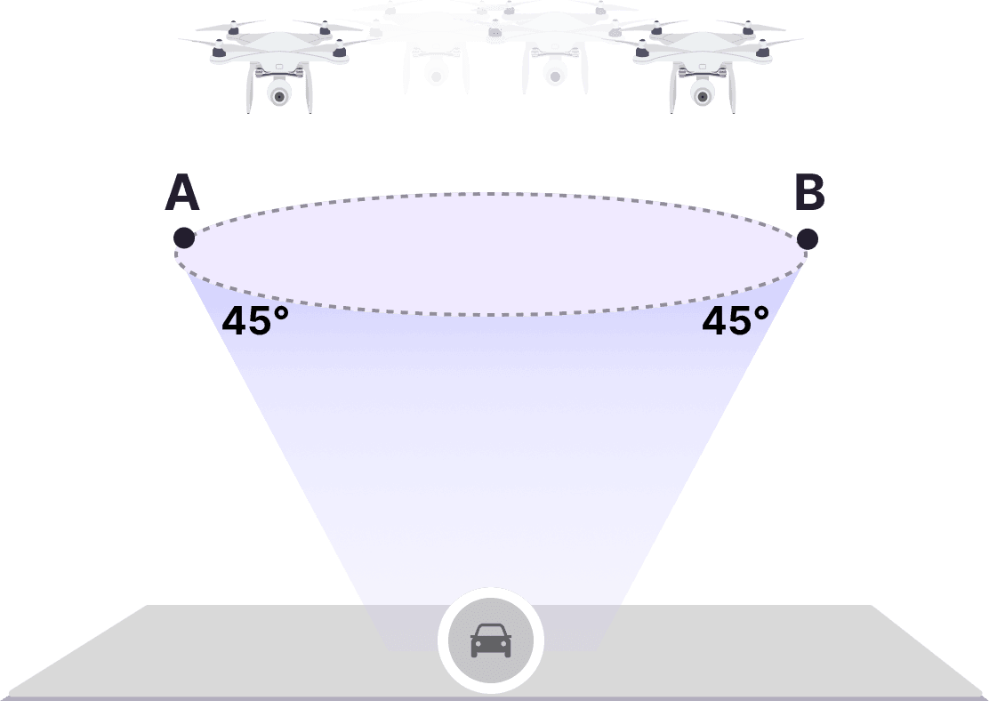
Videogrammetry derives 3D geometry from continuous video instead of discrete photos. Operators fly an orbit or walkaround rather than a rigid grid, and the software extracts frames automatically. SkyeBrowse's patented videogrammetry processing typically completes in roughly one minute per minute of source video.
LiDAR sensors mounted on drones capture raw range data directly and excel in vegetation canopy, but drone-grade units typically cost $10,000-$50,000. Videogrammetry and photogrammetry reach comparable measurement accuracy at a fraction of that cost; see accuracy expectations below, LiDAR vs photogrammetry, or aerial photogrammetry.
For the full site-scale 3D workflow, point clouds, meshes, and orthomosaic outputs, see the dedicated 3D drone mapping guide.
What accuracy can you expect from drone mapping?
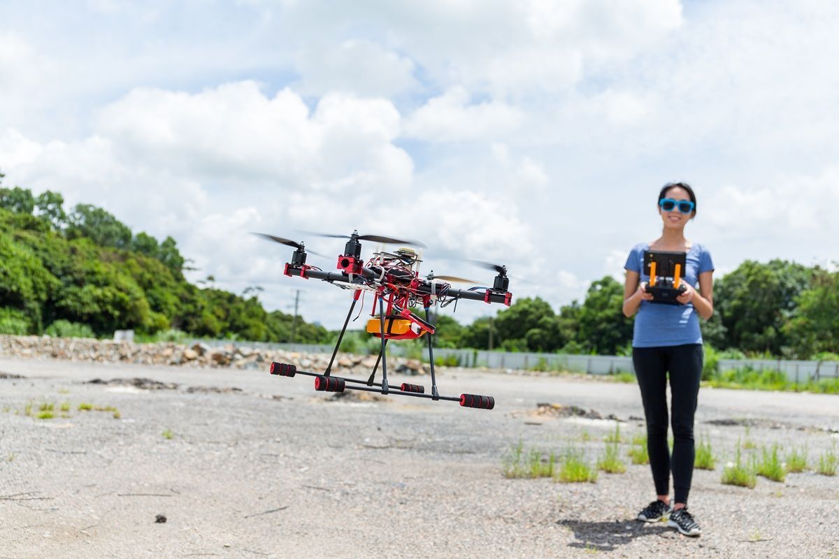
All drone mapping methods, including LiDAR, produce relative accuracy by default: measurements within the model are internally consistent, and absolute real-world coordinates come from the drone's GPS telemetry, which RTK GPS or ground control points can tighten further. SkyeBrowse reaches survey-grade relative and absolute accuracy from telemetry alone, without GCPs. For model measurement accuracy, distance to the subject matters more than which sensor or software captured it. Flying closer or walking a camera near an object reaches survey-grade tiers, roughly 0.5 inch on SkyeBrowse Commercial and Pro models and 0.1 inch on Public Safety & Enterprise, without a laser sensor.
Environmental conditions affect every capture method the same way. Uniform textureless surfaces like parking lots and snowfields, moving objects in the scene, and heavy vegetation all reduce reconstruction quality because the software has fewer visual features to match between frames. Indoor mapping adds complexity because GPS is unavailable and lighting must stay controlled.
For workflows that must tie into survey-grade GIS datasets or legal boundary records, ground control points or RTK-equipped drones add independent verification of absolute position. That option applies equally to LiDAR, photogrammetry, and videogrammetry; SkyeBrowse georeferences from the drone's SRT or ASS telemetry file and doesn't require either.
What does drone mapping cost?
Drone mapping costs vary by method, area size, and accuracy requirements. Hardware ranges from $500-$2,000 for consumer camera drones to $15,000+ for enterprise platforms with RTK GPS. Software subscriptions range from free tiers with processing limits to $200-$500/month for professional plans. Per-model pricing, like SkyeBrowse's $24.99 Commercial model, $49.99 Pro model ($19.99 and $39.99 billed annually), or $199 Public Safety & Enterprise model, lets teams pay only for what they process, and the Freemium tier processes unlimited uploads at basic resolution for free.
Third-party drone mapping services typically run $150-$500 per acre depending on deliverable complexity. Organizations that map frequently find it more cost-effective to bring operations in-house.
The total cost equation includes the drone, mapping software, operator certification, and any ground control points needed for survey-grade accuracy, which add $2,000-$5,000 for RTK GPS equipment.
What software do you need for drone mapping?
Drone mapping software falls into three categories: desktop photogrammetry suites that process still images locally, cloud platforms that process video or photos remotely without dedicated hardware, and mobile apps that capture and sometimes process directly on a phone. The right choice depends on whether the team needs offline control, zero-hardware cloud processing, or fast in-field capture.
Cloud platforms, including SkyeBrowse drone mapping software, shift processing off local hardware: footage uploads from a browser or the field, and the platform returns a finished model with no GPU rig on-site. For a full breakdown of software categories, pricing tiers, and how to choose between desktop, cloud, and mobile options, see the complete drone mapping software comparison.
What industries use drone mapping services?
Public safety, construction, surveying, insurance, and infrastructure management are the primary verticals. Public safety agencies use drone mapping for accident reconstruction, crime scene documentation, and tactical preplanning. Construction teams use it for progress monitoring and volume calculations. Surveyors use it for topographic mapping at a fraction of traditional survey costs. Insurance adjusters use it for remote damage assessment after storms and disasters.
Public safety: Accident reconstruction teams produce measurable 3D crash-scene models in minutes, reopening roadways hours earlier than total-station surveys. NHTSA identifies prolonged lane closures as a factor in secondary crash risk, making speed-to-model a safety imperative. Fire departments use drone mapping for pre-incident planning and post-fire investigation. See accident reconstruction and fire department operations.
Construction: Weekly orthomosaic maps track site progress, cut/fill volume calculations inform earthwork billing, and as-built models document completed conditions. See 3D mapping for construction.
Surveying: Drone surveying produces topographic data at $200-$500 per acre versus $1,000-$3,000+ for traditional ground surveys, in days instead of weeks.
Insurance: Adjusters document property damage remotely by drone or smartphone video, cutting claims processing from weeks to same-day.
What are the FAA regulations for drone mapping?
Commercial drone mapping in the United States requires an FAA Part 107 Remote Pilot Certificate, regardless of the drone, software, or capture method used. Operations near airports, over people, or at night require additional waivers or authorizations. Mapping software does not remove or reduce any of these regulatory requirements.
Any flight conducted for business purposes, including mapping for an employer rather than a paying client, counts as a commercial operation under FAA Part 107 and requires a current Remote Pilot Certificate. Flights in controlled airspace near airports need authorization through the FAA's LAANC system, and flights over people, over moving vehicles, or at night require specific waivers unless the aircraft meets newer category-based exemptions. Photogrammetry, videogrammetry, and LiDAR missions all fall under the same FAA rules.
How does SkyeBrowse simplify drone mapping?
SkyeBrowse is a videogrammetry platform that processes video directly into 3D models and 2D maps through its cloud platform at app.skyebrowse.com. Instead of requiring grid flights and thousands of still images, SkyeBrowse accepts continuous video from drones, phones, body cameras, and 360 cameras via its Universal Upload feature. Cloud processing typically delivers finished models within minutes.
SkyeBrowse serves more than 1,200 agencies worldwide across its Freemium, Commercial, Pro, and Public Safety & Enterprise tiers (see accuracy expectations above). Commercial and Pro models process at 8K with 0.5 inch accuracy; Public Safety & Enterprise processes at 16K with 0.1 inch accuracy and is the only plan with full CJIS compliance and chain of custody. The platform is hosted on AWS infrastructure in the United States.
The platform accepts .MP4 and .MOV files and supports telemetry files (.SRT for DJI, .ASS for Autel) to improve georeferencing. Outputs include orthomosaic maps, 3D mesh models, point clouds (LAZ), and exports in GLB and GeoTIFF formats. The SkyeBrowse Flight App provides automated capture workflows for supported drones.
Related Guides
- Drone mapping software: free and paid drone mapping platforms compared, including the SkyeBrowse video-to-3D workflow.
- Drone mapping software compared: how to choose a platform, including categories, pricing models, and a feature checklist.
- UAV mapping software: the enterprise and government procurement angle on UAV mapping platforms.
- 3D drone mapping: the site-scale 3D workflow, covering point clouds, meshes, and orthomosaic outputs.
- 3D mapping software: a ranked comparison across drone, indoor, and mobile capture methods.
FAQ
How has drone mapping changed in 2026?
The biggest shifts are the mainstreaming of videogrammetry, AI-assisted feature extraction built into processing platforms, and Universal Upload pipelines that accept footage from any camera, not just drones. Hardware has matured too, with sharper sensors and mechanical shutters now common on mapping-class cameras.
What is the best drone for mapping in 2026?
It depends on accuracy, payload, and budget. For professional mapping with RGB and thermal in one unit, the DJI Mavic 3 Thermal and Autel EVO Max 4T lead with telemetry-embedded video for precise georeferencing. For entry-level mapping, consumer drones with good stabilization and GPS log export work fine with videogrammetry pipelines like SkyeBrowse. RTK platforms or ground control points add independent verification when a deliverable must be certified against a survey datum.
Do you need a drone license to map for a client?
Yes. Any drone mapping performed for compensation, including for your own employer rather than an outside client, is a commercial operation under FAA rules and requires a Part 107 Remote Pilot Certificate. Recreational rules don't apply once the output supports a business purpose.
Last Updated
Last updated: 2026-09-18
Re-scoped as the how-it-works guide for the drone mapping cluster: linked the SkyeBrowse drone mapping platform page as the canonical software start page, and replaced legacy Lite/Premium tier and credit pricing with the current Freemium, Commercial, Pro, and Public Safety & Enterprise plans.
De-cannibalized the "drone mapping" cluster: this page now owns the head term as the educational pillar. Shrank the software-selection section to a short pointer at drone mapping software, added a 3D-workflow cross-link to drone 3D mapping, trimmed "What's New" and SkyeBrowse-tier duplication, and added a Related Guides block cross-linking the sibling cluster pages.
Restructured as the cluster hub: moved the definitional answer to lead, added Key Takeaways, and added dedicated Accuracy, Software, and FAA Regulations sections with answer capsules.
Added hub links to the software, free software, app, services, surveying, and aerial photogrammetry cluster pages.
Corrected hosting language from AWS GovCloud to AWS infrastructure in the United States.
Added FAQPage and SoftwareApplication schema plus a third FAQ on commercial licensing; refreshed dateModified to 2026-07-03.
Prior update 2026-05-28 added the "What's New in 2026" section. Original publication 2026-03-10 covered methods, costs, industries, and accuracy.
Upload your first video free. Create a free SkyeBrowse account, upload a drone video, and get a 3D model processed in the cloud. Freemium organizations that have never had a paid plan can get their first full Commercial model for $5 (normally $24.99), with every Pro tool and export included and 90-day storage.