Drone 3D Mapping Use Cases,
from Crash Scenes to Construction Sites
SkyeBrowse turns a single drone or phone video into a measurable 3D model and 2D map in minutes. Public safety agencies document crime scenes, crashes, and fire pre-plans; inspectors measure roofs and structures; construction and survey teams track sites and map large areas.
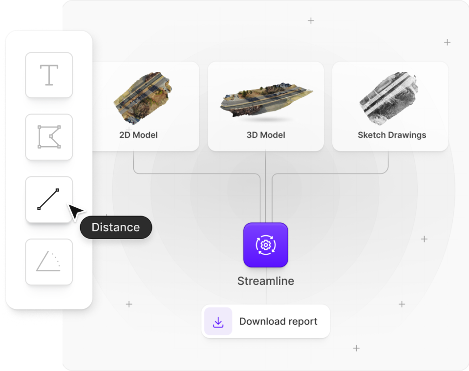
Accelerate Investigations with 3D Models
Quickly create detailed 3D models for accurate accident and crime scene documentation. Capture evidence with drones or mobile devices, reducing manual work and downtime.
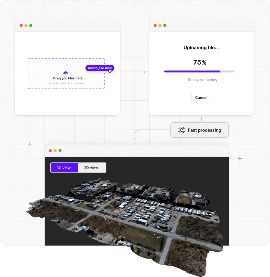
Efficient Large Area Mapping
Quickly create detailed 3D models of large areas. Easily access, share, and export models through our intuitive cloud platform. No specialized training needed.
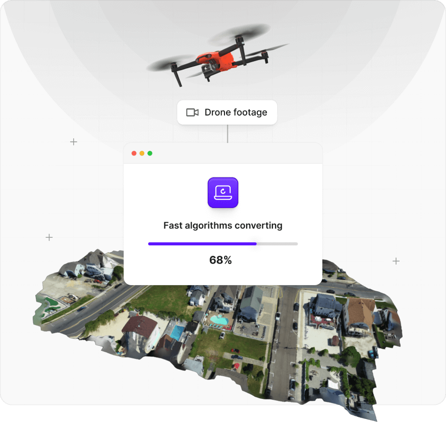
Quick Roof Inspections & Measurements
Transform drone footage into detailed 3D models in minutes. Capture entire sites in one flight, reducing on-site time and enhancing inspection accuracy. Use our tools for precise measurements of heights, areas, and slopes with ease.
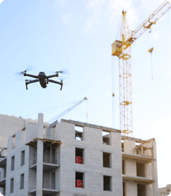
Transform Construction Workflows
Create precise 2D maps and 3D models from drone video to monitor progress, improve site safety, and keep projects on schedule. Measure distances, areas, and volumes with confidence while reducing rework.
Discover Your Savings with SkyeBrowse
Calculate your accident investigation savings. Find out how much you can save on time and resources with just a few clicks.


