SkyeBrowse
  • News
  • Showcase
  • Tutorials
  • Download
  • Pricing
  • Contact
Sign In
Start for free
SkyeBrowse
Login
  • Start for free
  • News
  • Use Cases
  • Showcase
  • Tutorials
  • Download
  • Crush & Claims
  • Crowd Counter
  • Virtual Reality
  • SaltBrowse
  • Pricing
  • Contact

SkyeBrowse Tutorials: Video to 3D Model, Step by Step

Short written and video guides for every part of the SkyeBrowse workflow: flying the Flight App on supported DJI and Autel drones, uploading video from any drone or phone with Universal Upload, mapping building interiors with a 360 camera, merging interior and exterior models, and using the measurement and reporting tools in the 3D viewer.

Capture with a drone

  • SkyeBrowse Flight App: automated orbit and WideBrowse missions
  • Universal Upload: manual drone video to 3D model
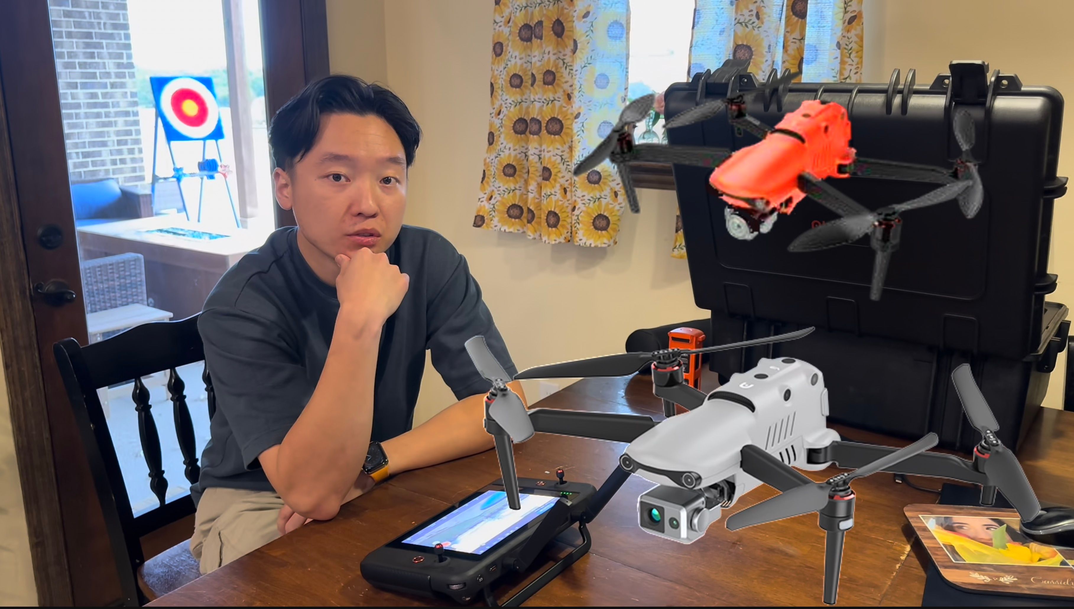
  • Autel Evo II and Max 4T: enabling .ASS files for georeferencing

Interior mapping

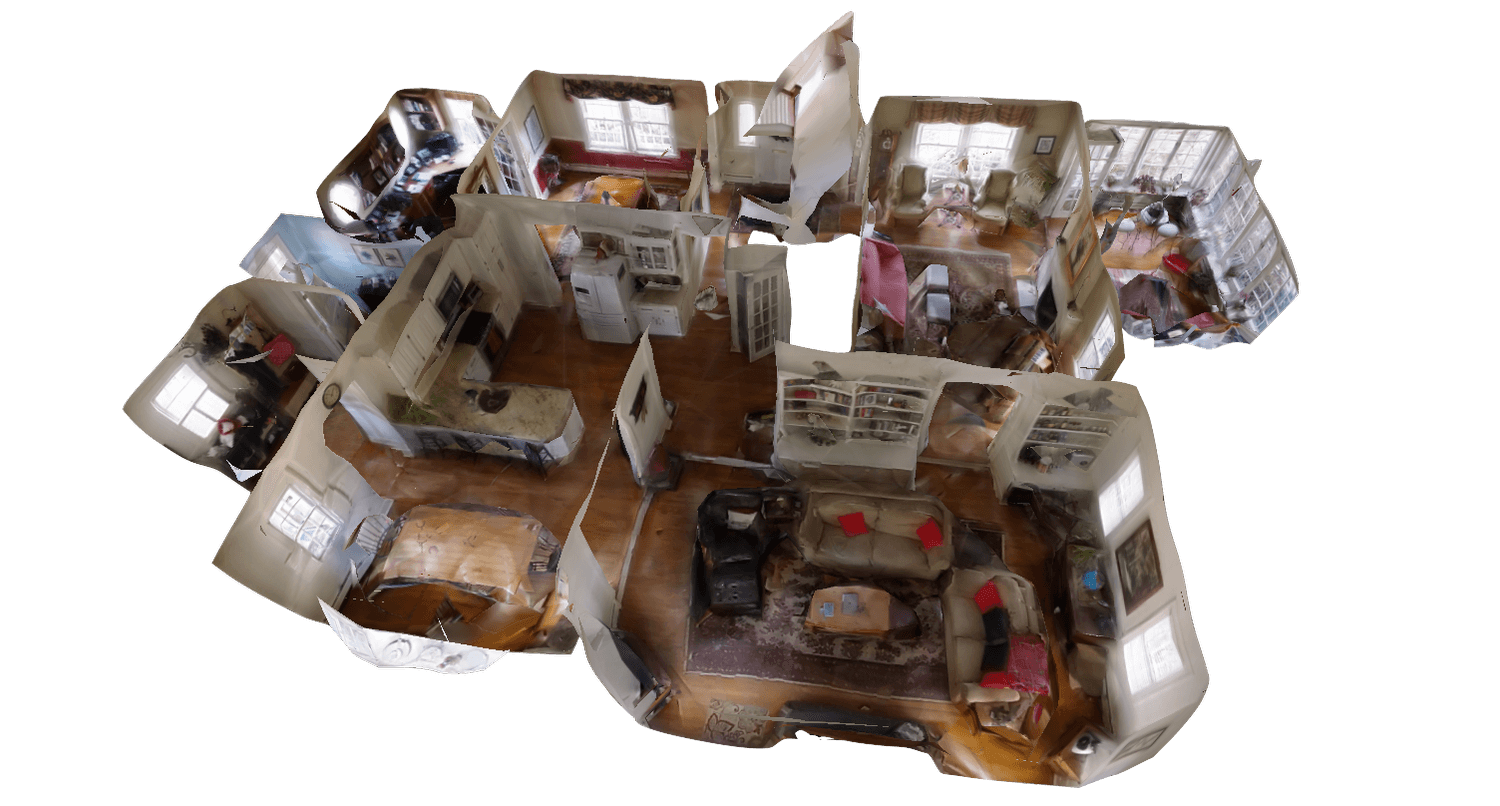
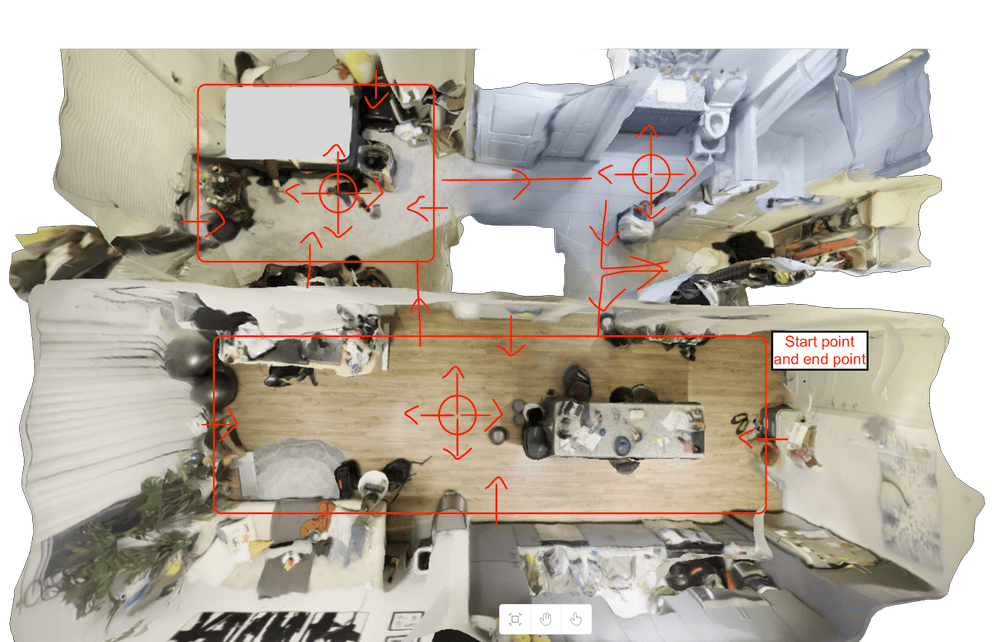
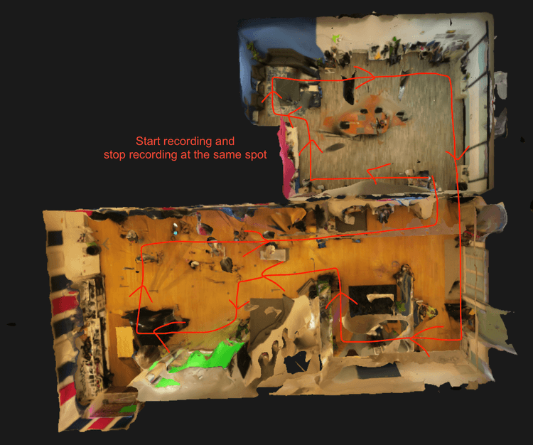
  • Insta360 camera interior mapping
  • Interior mapping with a cell phone
  • Interior mapping with the DJI Avata
  • DJI Avata 360 mapping

Analyze and share

  • 3D model viewer: every tool explained
  • Merging models with 3D Overlay
  • Pay Per Model (PPM): buying models one at a time

All tutorials

Blog Post Cover
Jul 12, 2026
20 min

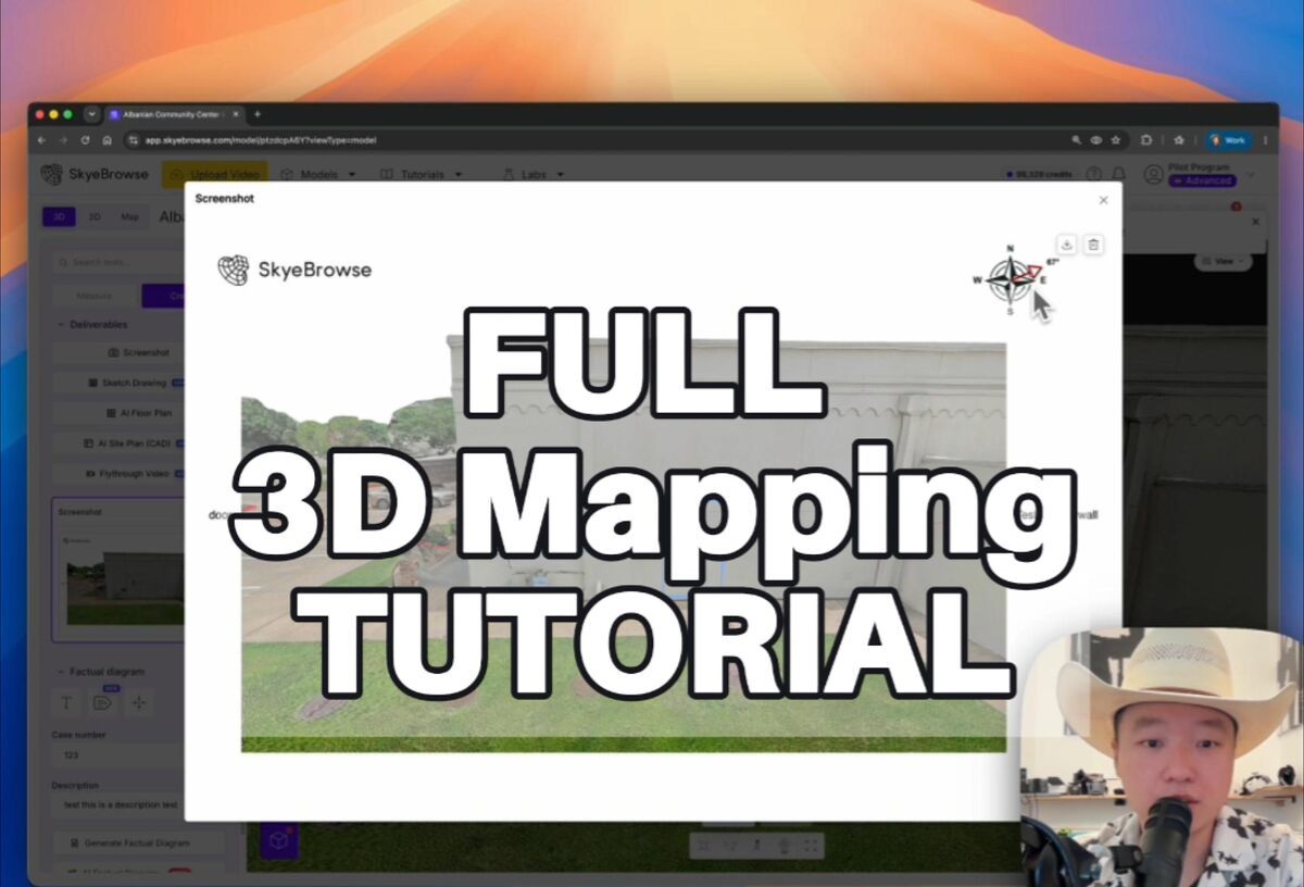
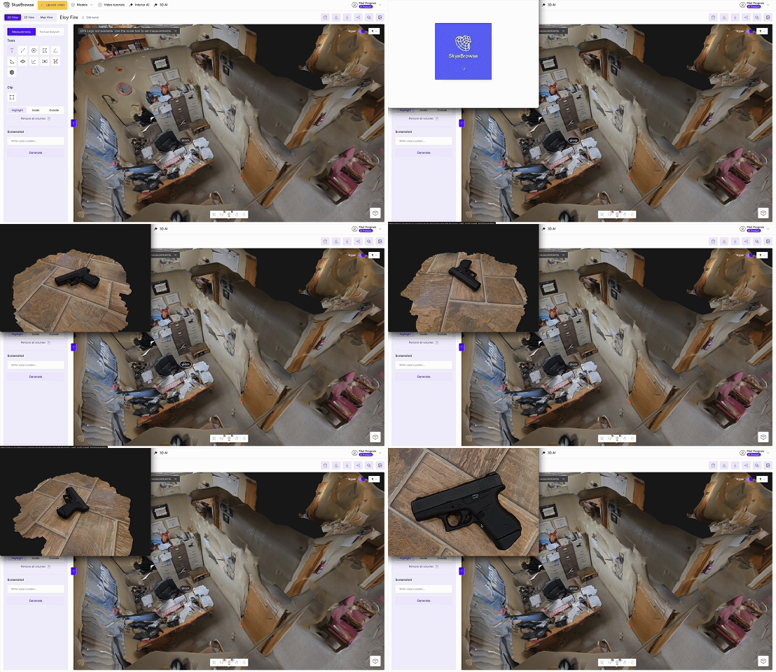
SkyeBrowse 3D Model Viewer Tutorial: Every Tool Explained

Blog Post Cover
May 26, 2026
4 min

Tutorial: Avata 360 Mapping

Blog Post Cover
May 26, 2026
13 min

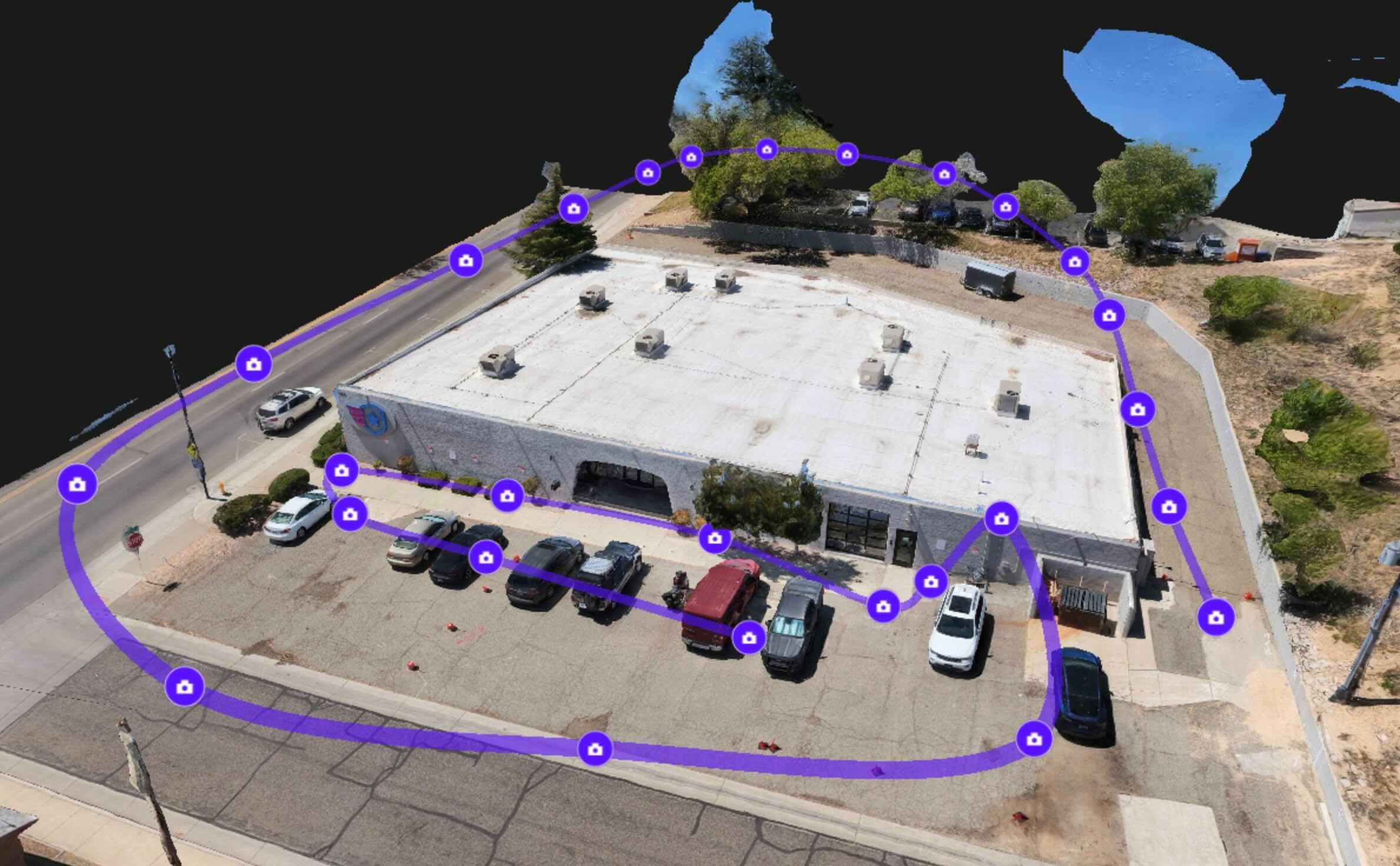
Manual Flight Tutorial: Drone Video to 3D Model

Blog Post Cover
May 22, 2026
8 min

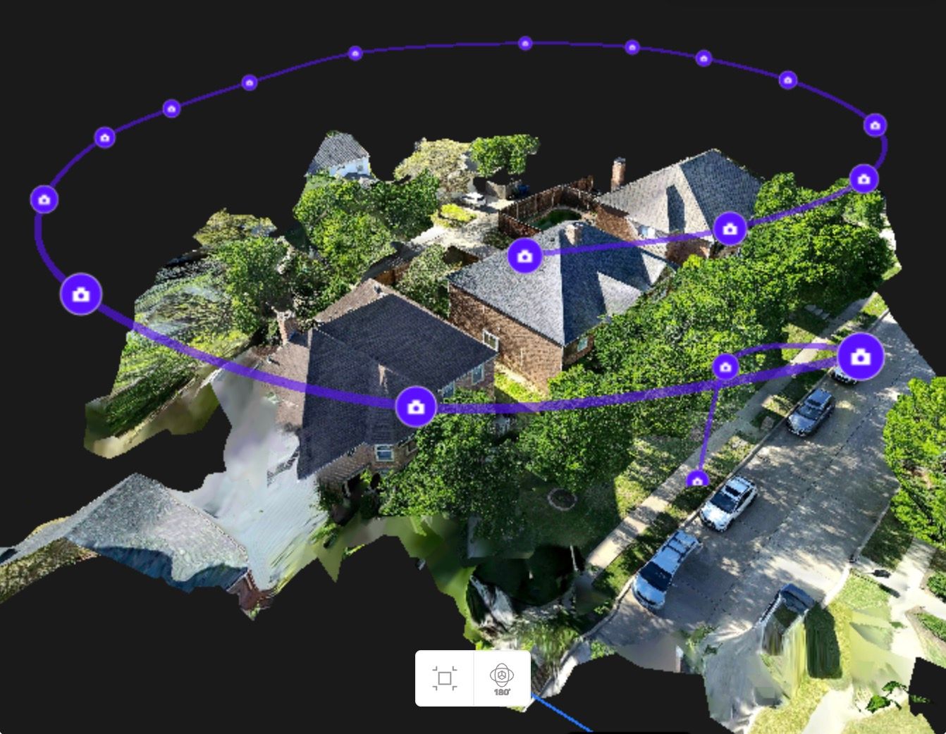
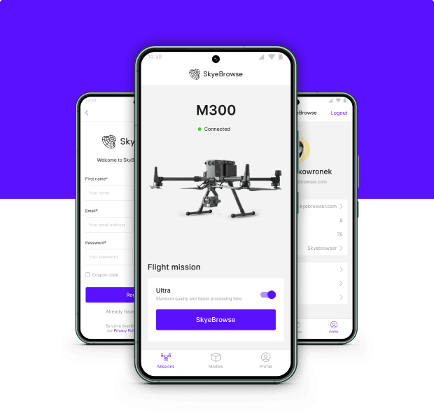
Tutorial: SkyeBrowse Flight App

Blog Post Cover
Oct 23, 2025
4 min

Tutorial: Autel Evo II and Max 4T

Blog Post Cover
Mar 10, 2025
2 min

Tutorial: Merging Models

Blog Post Cover
Aug 31, 2024
3 min

Tutorial: Insta360 Camera Interior Mapping

Blog Post Cover
Feb 5, 2024
2 min

Tutorial: Interior Mapping (Cell Phone)

Blog Post Cover
Feb 4, 2024
4 min

Tutorial: Interior Mapping (DJI Avata)

Showing 1 to 9 of 9 results
SkyBrowse-logo
facebook-imageinstagram-imagelinkedin-imageyoutube-image
TopicsDrone mappingPhotogrammetryDrone compatibilityPublic safetyConstruction and inspectionLabs and AI appsComparisonsScene guidesAll articles
Popular guidesDrone mapping guideFree drone mapping softwareBest 3D mapping softwareBest photogrammetry softwareDrone photogrammetry softwareSurveying dronesPhotogrammetry vs orthomosaic
ProductPricingAgency pricingSupported dronesDownloadCrush & ClaimsWhitepaper
CompanyAbout usNewsFAQContactPrivacy PolicyMaster Services AgreementData Processing Agreement
© 2026 SkyeBrowse. All Rights Reserved.