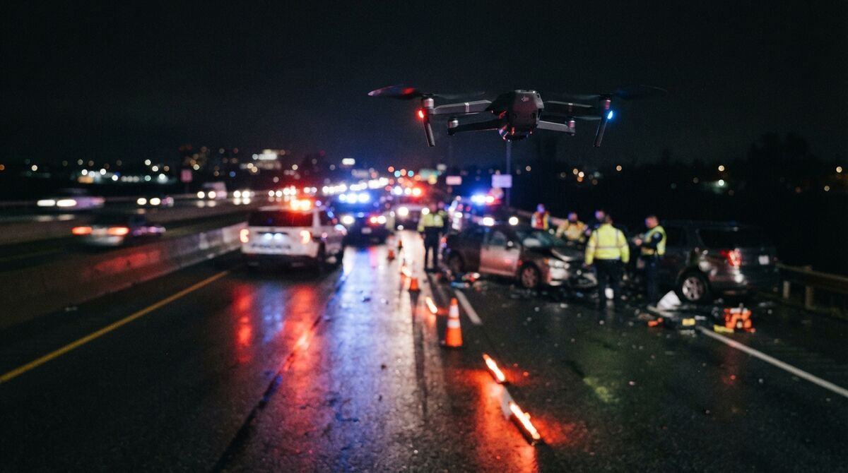
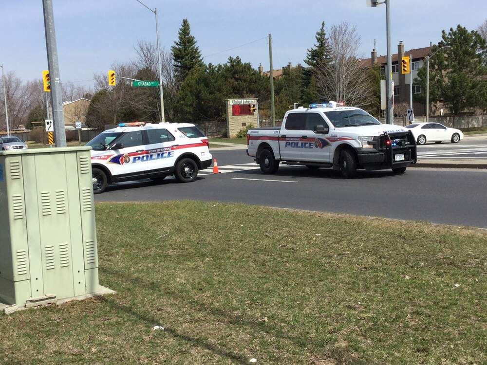
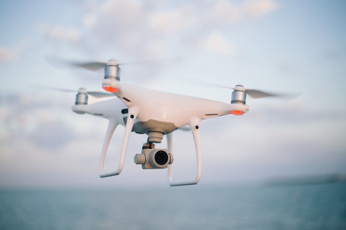
The best accident reconstruction software depends on which part of the job you're buying for. Collision work splits into scene capture, diagramming, and physics-based simulation, and very few tools do all three well. This guide compares the main options for 2026, explains where videogrammetry (building a measurable 3D model from continuous video) fits next to traditional simulation packages, and shows which choices cost nothing to try.
Key Takeaways
- Crash reconstruction software falls into three layers: scene capture, diagramming, and simulation. Most agencies pair one capture tool with one analysis tool.
- SkyeBrowse handles the capture layer from drone, phone, or body-worn camera video, measuring to 0.1 inch on Public Safety & Enterprise and 0.5 inch on Commercial and Pro.
- FARO Zone 3D, Virtual CRASH, PC-Crash, and HVE are established diagramming and simulation packages that take in scene data from a capture tool.
- You can start free: SkyeBrowse Freemium costs nothing, and qualifying agencies can request a two-week Pilot Program on the top tier.
- Courts care about method and error rates under Federal Rule of Evidence 702, so documented capture accuracy matters more than animation polish.
Contents
- What is accident reconstruction software?
- Which accident reconstruction software should you compare in 2026?
- Is there free car accident reconstruction software?
- Which crash reconstruction software gives the most accurate measurements?
- How does video-based 3D capture work with simulation tools?
- How should an agency evaluate traffic collision software?
- FAQ
What is accident reconstruction software?
Accident reconstruction software is any program that helps investigators document a crash scene, measure the evidence, and analyze how the collision happened. It covers three jobs: capturing the scene in 3D, drawing a scaled diagram, and simulating vehicle motion. Most tools specialize in one or two of those jobs.
Think of it as a pipeline. Capture tools record where everything ended up: vehicle rest positions, tire marks, gouges, debris, and roadway geometry. Diagramming tools turn those measurements into a scaled drawing for the report. Simulation tools apply physics to test speed, momentum, and approach paths against the measured evidence.
The pressure behind all three is time on the road. The Federal Highway Administration's Traffic Incident Management program ties faster clearance to safer responders and fewer secondary crashes, which is why capture speed has become a buying criterion in its own right. National crash volumes tracked by NHTSA's crash statistics portal explain why reconstruction units feel stretched: the caseload doesn't shrink while a scene stays closed.
Which accident reconstruction software should you compare in 2026?
Compare tools by the layer they cover. SkyeBrowse is a cloud capture platform that builds measurable 3D scene models from video. FARO Zone 3D focuses on 2D and 3D diagramming and crash analysis, while Virtual CRASH, PC-Crash, and HVE are physics-based simulation packages that need good scene data to work from.
The table below groups the tools investigators ask about most. It's organized by job, since a diagramming package and a capture platform aren't really competing for the same budget line.
| Software | Primary layer | What it does | How scene data gets in |
|---|---|---|---|
| SkyeBrowse | Scene capture | Cloud videogrammetry: drone, phone, or body-worn camera video becomes a measurable 3D model, point cloud, and orthomosaic (a scaled, stitched overhead map) | Upload .MP4 or .MOV video; exports LAZ, GLB, GeoTIFF |
| FARO Zone 3D | Diagramming and analysis | 2D and 3D scene diagrams, crash calculations such as skid-to-stop and critical speed yaw, animations | Imports point clouds and measured points |
| Virtual CRASH | Simulation | 3D vehicle and pedestrian impact simulation, scale diagrams, animations | Imports point clouds, meshes, and terrain |
| PC-Crash | Simulation | Collision and kinematics simulation from DSD, widely used by reconstruction engineers | Imports scene drawings and point data |
| HVE / HVE-CSI | Simulation | Engineering Dynamics Corporation's simulation environment, including EDCRASH and EDSMAC tools | Imports scene geometry and measured evidence |
SkyeBrowse also reaches into analysis. Public Safety & Enterprise models add Factual Diagrams (court-ready PDF diagrams with measurements and a scaled overhead view), sketch drawing, and public safety icons. The Crush & Claims Analysis tool aligns an undamaged reference vehicle with the damaged scan to measure crush depth and estimate delta-V (the change in a vehicle's velocity during impact) with stated assumptions; it's included on Public Safety & Enterprise and open on every plan through October 31, 2026. For how the capture itself is flown, see our guide to accident reconstruction drone mapping.
Is there free car accident reconstruction software?
Yes, several ways exist to start without paying. SkyeBrowse Freemium is free with unlimited uploads, two concurrent models, a 30-day archive, and basic measuring, though it doesn't include exports. Eligible organizations can buy a first full Commercial model for $5, and public safety agencies can request a free two-week Pilot Program.
Free options matter most when you're proving the workflow to a sergeant or a budget committee. Freemium lets an officer fly or walk a practice scene, upload the video, and measure distances inside the model the same afternoon. When you need a deliverable, the $5 first-model offer buys a full Commercial model with every Pro tool and export included and 90-day storage.
Agencies that want the whole evidence toolset should request the Pilot Program, which runs about two weeks on Public Safety & Enterprise, including CJIS compliance, chain of custody logging, and 0.1 inch processing. Simulation packages sold as desktop licenses rarely have a true free tier, so ask each vendor directly about trial or training licenses before you plan around one. Current plan details live on the SkyeBrowse pricing page.
Which crash reconstruction software gives the most accurate measurements?
Measurement accuracy is set at capture, so the capture tool decides it. SkyeBrowse Public Safety & Enterprise models measure to 0.1 inch from ordinary drone or phone video with 16K processing, and Commercial and Pro models reach 0.5 inch. Flying closer or walking the camera near key evidence tightens detail further.
That's the answer to the question buyers phrase as "best tool for auto accident cases with highest accuracy." A simulation package can only be as precise as the scene it was fed. When the rest positions, tire marks, and roadway edges come from a 0.1 inch model, every downstream calculation starts from solid ground.
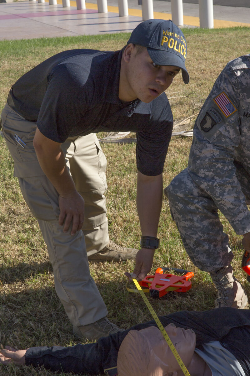
SkyeBrowse reaches survey-grade relative and absolute accuracy without ground control points. Drone .SRT telemetry georeferences the model automatically, and a known-size reference such as a measuring tape laid in the scene gives the investigator an independent check to cite in the report. That check is worth building into every capture, because Federal Rule of Evidence 702 asks whether an expert's method is reliable and reliably applied.
How does video-based 3D capture work with simulation tools?
The capture platform produces the measured scene, and the simulation tool uses it as the stage. SkyeBrowse exports a LAZ point cloud, GLB mesh, and GeoTIFF orthomosaic, which reconstructionists bring into their diagramming or simulation software. Patrol can capture the scene in minutes and hand the specialist a complete record.
In practice the handoff looks like this. A patrol officer or drone team records a slow orbit of the scene, or walks it with a phone, and uploads the video. Cloud processing takes about as long as the footage runs, so a typical crash scene model is waiting for the reconstructionist within minutes of the upload finishing. The reconstructionist opens the model from the office, confirms rest positions and marks, and exports what the simulation needs.
Exports come with Pro models, Public Safety & Enterprise, and the $5 first Commercial model. Inside SkyeBrowse, the impact scene view lets investigators map the point of impact, rest positions, and evidence, and an AI option proposes editable approach-path hypotheses for review. Those paths are starting points to test against the evidence; they don't establish fault, speed, or a unique sequence of events. The final opinion stays with the reconstructionist and the simulation work behind it.
How should an agency evaluate traffic collision software?
Score each tool against the evidence standard your cases face. Check measurement accuracy, time on scene, export compatibility with your analysis software, CJIS compliance, chain of custody, storage length, and total cost across a year of cases. Then pilot it on a real scene before you sign.
A short scorecard keeps the comparison honest:
- Accuracy and verification: stated accuracy by tier, plus a simple way to check it in the field.
- Scene time: minutes of capture versus hours with a total station and tape.
- Interoperability: point cloud and mesh exports your diagramming or simulation tool opens without conversion.
- Compliance: CJIS, chain of custody, and access logging for evidence work.
- Retention: how long models stay available for trial, appeals, and civil discovery.
- Cost model: SkyeBrowse prices per model with no seat fees, so detectives, prosecutors, and command staff can all view a case without extra licenses.
Before the pilot, standardize the field steps so every test scene is captured the same way. Our crash scene documentation checklist covers scene security, flight planning, evidence capture, and chain of custody, and it doubles as a training handout for patrol.
FAQ
What is the best accident reconstruction software?
Most agencies run two layers: a scene capture platform that turns the crash scene into a measurable 3D model, and a diagramming or simulation tool for analysis. SkyeBrowse covers capture from drone or phone video; FARO Zone 3D, Virtual CRASH, PC-Crash, and HVE are common analysis choices. The best stack is the one whose outputs your reconstructionists can defend in court.
Is there free car accident reconstruction software?
Yes. SkyeBrowse Freemium is free with unlimited uploads, two concurrent models, a 30-day archive, and basic measurement tools, though it has no exports. Eligible Freemium organizations can buy their first full Commercial model for $5, and public safety agencies can request a free Pilot Program of about two weeks on Public Safety & Enterprise. Start at app.skyebrowse.com.
Which accident reconstruction software is most accurate?
Accuracy comes from how the scene is captured. SkyeBrowse Public Safety & Enterprise models measure to 0.1 inch from ordinary drone or phone video, with no ground control points required, and Commercial and Pro models measure to 0.5 inch. Simulation tools inherit whatever accuracy the scene data gives them.
Try SkyeBrowse at your agency. Public safety and government agencies can apply for the Pilot Program, a free trial of about two weeks with full Public Safety & Enterprise access. To plan a purchase, request a quote.