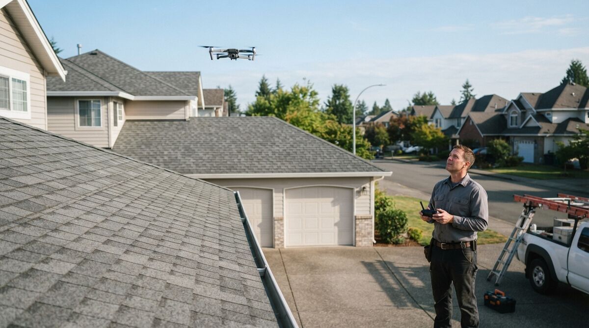
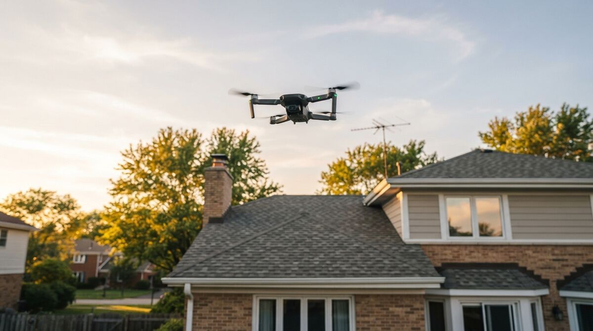
DJI Mini 2 mapping is a low-cost way to start building 3D models, because the Mini 2 and Mini 2 SE are semi supported in the SkyeBrowse Flight App: they fly automated Orbit missions from a phone. Videogrammetry, the technique of turning continuous video into a 3D model, needs only a steady clip, so a sub-250 g drone you already own can produce a measurable model. This guide covers the specs that matter, what semi supported means, GSD by altitude, manual grids for larger sites, and what a model costs.
Key Takeaways
- The DJI Mini 2 and Mini 2 SE fly automated two-orbit SkyeBrowse captures in the Flight App, with no special controller beyond the standard remote and a phone.
- WideBrowse grids aren't available on these drones because DJI doesn't allow waypoint missions on its consumer Minis; larger areas are flown by hand and sent through Universal Upload.
- In 4K, the Mini 2 covers about 1.2 cm of ground per pixel at 30 m; the 2.7K-only Mini 2 SE lands near 1.7 cm at the same height.
- Turning on Video Subtitles in DJI Fly writes the .SRT GPS file that georeferences each manually flown model.
- Fly close for detail: Commercial and Pro models measure to 0.5 inch, and Public Safety & Enterprise models reach 0.1 inch.
Contents
- What is the DJI Mini 2, and can it map?
- What does semi supported mean for the Mini 2 in SkyeBrowse?
- What GSD do the Mini 2 and Mini 2 SE deliver?
- How do you map an area larger than an Orbit with a Mini 2?
- Which Mini 2 variant should you map with?
- What does it cost to turn Mini 2 video into a 3D model?
- FAQ
What is the DJI Mini 2, and can it map?
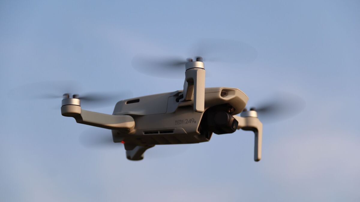
The DJI Mini 2 is a sub-249 g folding drone with a 1/2.3-inch 12MP sensor, a 24 mm equivalent f/2.8 lens and 4K video at up to 30 fps. It can map small sites: its steady 3-axis gimbal and 31-minute battery cover a full automated Orbit, and the video becomes a 3D model in the browser.
The specifications below come from DJI's Mini 2 support page and the Mini 2 SE and Mini 4K specifications.
| Spec | DJI Mini 2 | DJI Mini 2 SE |
|---|---|---|
| Takeoff weight | Under 249 g | 246 g |
| Image sensor | 1/2.3-inch CMOS, 12MP | 1/2.3-inch CMOS, 12MP |
| Lens | 83° FOV, 24 mm equivalent, f/2.8 | 83° FOV, 24 mm equivalent, f/2.8 |
| Max video resolution | 4K at 24/25/30 fps | 2.7K at 24/25/30 fps |
| Max video bitrate | 100 Mbps | 40 Mbps |
| Max flight time | 31 minutes | 31 minutes |
| Max transmission (FCC) | 10 km (OcuSync 2.0) | 10 km (DJI O2) |
A smaller sensor means less light per pixel than the Mini 3 Pro or Mini 4 Pro, so the Mini 2 does its best mapping in good daylight. Detail scales with capture distance, and a close, slow pass recovers the resolution a bigger camera would get from higher up.
What does semi supported mean for the Mini 2 in SkyeBrowse?
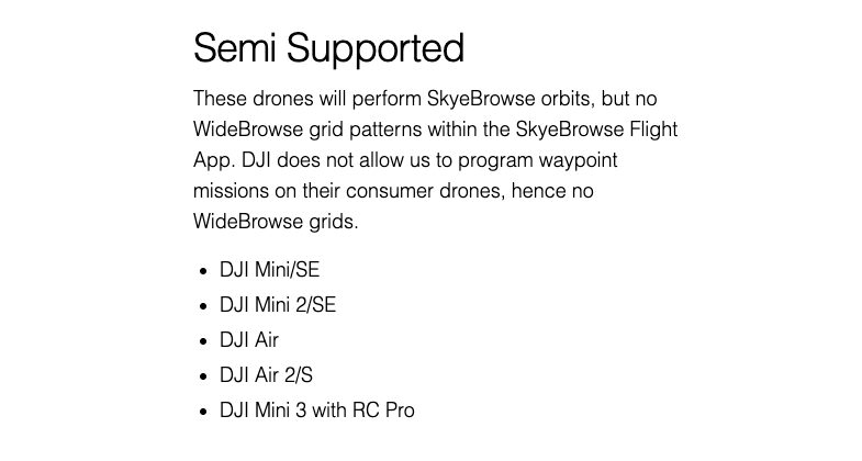
Semi supported means the SkyeBrowse Flight App flies automated Orbits on the Mini 2 and Mini 2 SE but no WideBrowse grids. DJI doesn't allow third-party apps to program waypoint missions on its consumer drones, so grid coverage of larger ground is flown by hand and uploaded through Universal Upload.
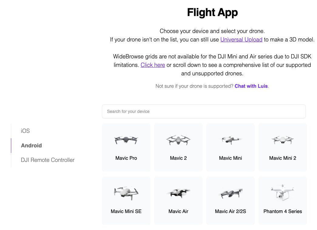
Install the Flight App on your iPhone or Android phone from the SkyeBrowse download page, connect it to the standard remote, and choose the Mini 2. The supported drones page lists the Mini 2 and Mini 2 SE in the semi supported group alongside the original Mini, the Air 2S and the Mini 3 with RC Pro.
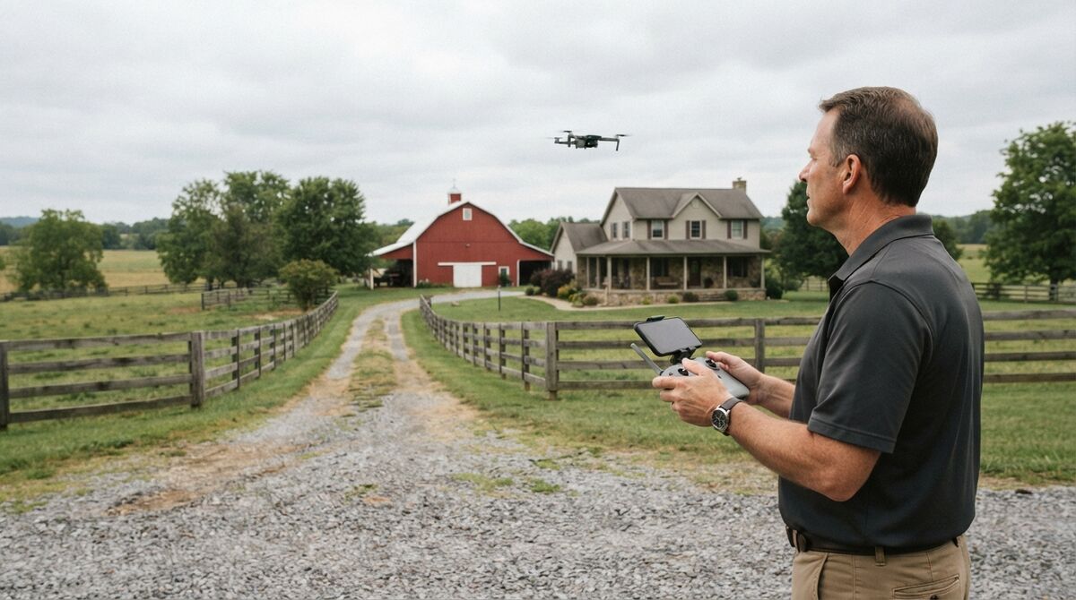
An Orbit flies two automated circles around a scene smaller than an acre: a house, a barn, a crash scene or a storefront. The aircraft records one continuous clip from a consistent distance, which is exactly what the reconstruction needs. Our Flight App tutorial walks through a first mission.
The DJI Mini 4K isn't on the Flight App list, so treat it like any unsupported drone: fly manually in DJI Fly and upload the clip. The Universal Upload tutorial covers that path.
What GSD do the Mini 2 and Mini 2 SE deliver?
Ground sample distance, or GSD, is the width of ground one pixel represents. A 4K Mini 2 clip gives about 1.2 cm per pixel at 30 m and 2.3 cm at 60 m. The Mini 2 SE tops out at 2.7K, so the same heights give about 1.7 cm and 3.3 cm.
GSD equals sensor width times altitude, divided by focal length times image width in pixels. The math uses DJI's 24 mm equivalent focal length, a 36 mm equivalent sensor width, and 3,840-pixel 4K or 2,720-pixel 2.7K frames. Our ground sample distance guide explains each term.
| Altitude above ground | Mini 2, 4K | Mini 2 SE, 2.7K | Frame width on ground |
|---|---|---|---|
| 20 m (66 ft) | 0.8 cm/pixel | 1.1 cm/pixel | 30 m |
| 30 m (98 ft) | 1.2 cm/pixel | 1.7 cm/pixel | 45 m |
| 40 m (131 ft) | 1.6 cm/pixel | 2.2 cm/pixel | 60 m |
| 60 m (197 ft) | 2.3 cm/pixel | 3.3 cm/pixel | 90 m |
| 120 m (394 ft) | 4.7 cm/pixel | 6.6 cm/pixel | 180 m |
The 120 m row sits just under the 400 ft limit in FAA Part 107. For a Mini 2 SE, flying about 30 percent lower than you would with a 4K drone gives roughly the same detail.
How do you map an area larger than an Orbit with a Mini 2?
Fly parallel lines by hand in DJI Fly with the camera pointed straight down, keeping about 70 to 80 percent overlap between lines, then add a slow orbit at an angle around any structures. Switch on Video Subtitles first so each clip writes an .SRT file, and upload everything through Universal Upload.
Use the frame-width column above to space lines. At 40 m, a 4K frame covers about 60 m of ground, so lines roughly 12 to 18 m apart give 70 to 80 percent overlap. Fly each line at a steady speed and avoid sharp yaw turns mid-line.
Keep the camera moving around the subject rather than panning from one spot, lock exposure and white balance, and keep sky, water and glass out of frame. Combining a grid with an angled orbit gives the model both the top-down coverage for an orthomosaic, a scale-correct top-down map, and the side views walls need.
The Mini 2 has no obstacle avoidance sensors, so plan lines above trees and wires and watch the aircraft on low passes. A 31-minute battery covers a few acres per flight at moderate height.
Which Mini 2 variant should you map with?
The original Mini 2 is the better mapping camera because it records 4K at 100 Mbps; the Mini 2 SE is limited to 2.7K at 40 Mbps. Both fly SkyeBrowse Orbits. The Mini 4K records 4K but isn't on the Flight App list, so it relies on manual flight and Universal Upload.
If you own any of the three, start mapping with it. A free Freemium account processes unlimited uploads, so you can test a property or a practice scene before deciding whether you need a bigger aircraft.
If you're buying, newer Minis add more. The Mini 3 Pro mapping guide covers a larger 1/1.3-inch sensor and full Orbit plus WideBrowse support with the DJI RC Pro, and the Mini 4 Pro mapping guide covers the current fully supported model. Our mini drone surveying guide compares the class, and the drones that map homes roundup suits residential work.
On rules, the FAA exempts drones of 250 g or less from registration only when they're flown under the recreational exception; any drone flown under Part 107 must be registered and broadcast Remote ID.
What does it cost to turn Mini 2 video into a 3D model?
Uploading Mini 2 video and building models on Freemium costs nothing. For full resolution you pay per model: $24.99 for a Commercial model stored 3 months, $49.99 for a Pro model stored a year with exports, or $199 per model per year on Public Safety & Enterprise.
Commercial and Pro reconstruct at 8K with 0.5 inch accuracy, and annual billing drops them to $19.99 and $39.99. Only Pro includes LAZ, GLB and GeoTIFF exports. Public Safety & Enterprise adds 16K Ultra processing at 0.1 inch, CJIS compliance, chain of custody and unlimited users. Freemium organizations that have never had a paid plan can get a first Commercial model for $5. See the pricing page, or compare tools in our free drone mapping software guide.
FAQ
Can the DJI Mini 2 do mapping?
Yes. The Mini 2 records 4K video, and the SkyeBrowse Flight App flies automated Orbit missions on it from a phone. Larger areas are flown manually and uploaded through Universal Upload, and both paths produce a measurable 3D model and an orthomosaic.
Does the DJI Mini 2 support waypoints for mapping grids?
No. DJI does not allow third-party apps to program waypoint missions on its consumer Mini drones, so the SkyeBrowse Flight App cannot fly WideBrowse grids on the Mini 2. Fly parallel lines by hand and upload the video instead.
Is the DJI Mini 2 SE good for 3D mapping?
It works for small scenes. The Mini 2 SE is semi supported in the SkyeBrowse Flight App for automated Orbits, but it records at most 2.7K video, so each pixel covers about 1.7 cm at 30 m versus 1.2 cm for a 4K Mini 2. Fly a little lower to match the detail. Check the supported drones list for current status.