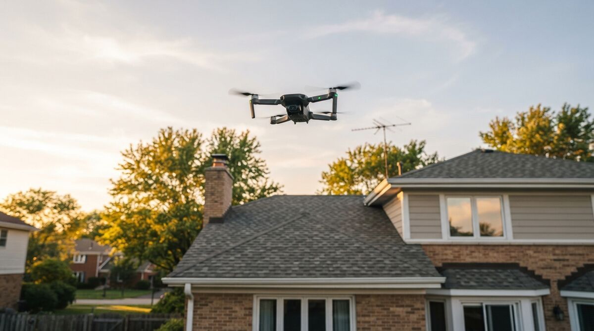
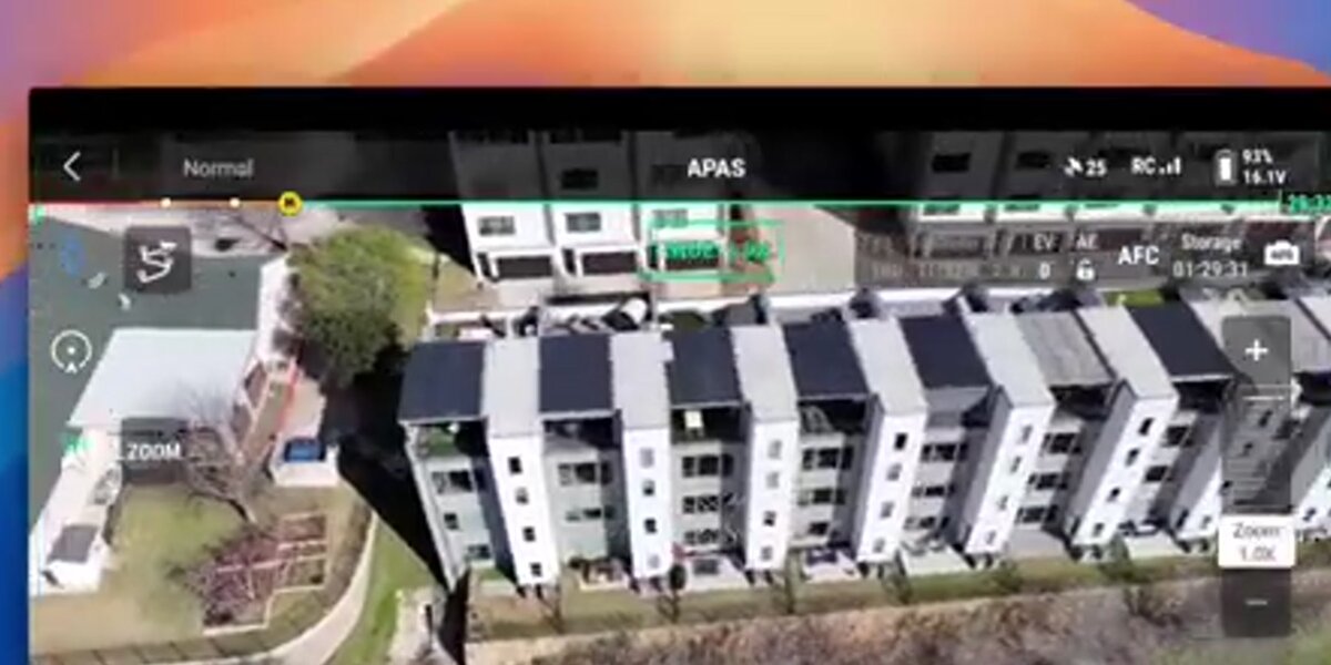
A mini drone for surveying is one of the most practical tools a field professional can carry, because a sub-250g aircraft fits in a jacket pocket, launches in seconds, and flies with far less regulatory friction than a heavy rig. The catch is knowing where it excels and where it stops. A surveyor mini drone captures video that SkyeBrowse converts into a measurable 3D model through videogrammetry, the reconstruction of geometry from video frames, which sits alongside photogrammetry, the measurement of real geometry from overlapping imagery. This guide covers what small drones genuinely do for mapping, compares the DJI Mini lineup, explains the sub-250g rules, and shows how to test a mini drone for mapping at no cost.
Key Takeaways
- A mini drone for surveying handles site documentation, roof checks, and small-scene 3D models with strong relative accuracy, and close-range capture on Premium tiers reaches survey-grade detail; certified absolute coordinates still need ground control.
- The DJI Mini 5 Pro leads for mapping with a 1-inch 50MP sensor; the Mini 4 Pro adds automated capture on a compatible controller.
- Wide grid capture is unavailable on the Mini 2 and Mini 3 series, so plan those drones around compact subjects and orbit capture.
- Sub-250g drones skip FAA registration for recreational flight, but commercial surveying still requires Part 107 certification and registration.
- SkyeBrowse Freemium lets you test any mini drone for mapping for free with unlimited uploads.
Contents
- Can a mini drone be used for surveying?
- What can a surveyor mini drone actually do?
- Which mini drone is best for mapping?
- What is the regulatory advantage of a sub-250g drone?
- How do you test a mini drone for mapping for free?
- FAQ
Can a mini drone be used for surveying?
A mini drone handles a real share of surveying work. It produces strong relative measurements inside a model, and because videogrammetry accuracy scales with capture distance, flying close to a roof or structure reaches survey-grade detail on SkyeBrowse Premium tiers. Without RTK or ground control points, absolute map coordinates stay visual grade, roughly 2 to 6 inches on SkyeBrowse Lite, so certified coordinates require added ground control.
The honest framing is that a mini drone documents and measures; it does not replace a total station or an RTK survey rig for legal boundary work. What it does exceptionally well is turn a two-minute flight into a 3D record you can measure repeatedly from your desk. For a fuller field method, the drone surveying guide walks through capture planning, and the hardware landscape beyond the mini class is covered in the mapper drone roundup.
What can a surveyor mini drone actually do?
A surveyor mini drone reliably captures small-scene 3D models, roof and facade condition, stockpile and site progress documentation, and quick as-built context. It stops at large-area grids, certified absolute coordinates without ground control, and windy conditions, where a light airframe struggles to hold smooth motion. Match the mission to compact subjects and calm weather for the best results.
Think of the sweet spot as anything you could walk around in a few minutes: a house, a small commercial building, an intersection, a stockpile, a construction pad. For those, a mini drone delivers a clean, measurable model. The limits are physical. A 249-gram airframe gets pushed by wind, which softens the smooth video path photogrammetry needs, and a small sensor gathers less light, so dawn, dusk, and shade get noisy. Large multi-acre sites demand many batteries and a wide grid pattern that the smallest drones do not automate. Knowing those boundaries keeps your deliverables trustworthy.

Which mini drone is best for mapping?
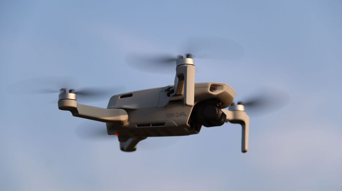
For mapping detail the DJI Mini 5 Pro leads with a 1-inch 50MP sensor, followed by the 48MP Mini 4 Pro, which also supports automated orbit capture on a compatible controller. The 12MP Mini 2 and Mini 3 document sites but resolve less fine detail. Wide grid capture is unavailable on the Mini 2 and Mini 3 series, so use them for compact subjects.
The table below compares the current DJI Mini lineup for mapping duty using verified manufacturer specifications, with SkyeBrowse Flight App support status noted for each. Support and automation levels change over time, so always confirm on the SkyeBrowse supported drones page before a job.
| Drone | Sensor | Photo res | Weight | Flight | SkyeBrowse Flight App |
|---|---|---|---|---|---|
| Mini 2 | 1/2.3-in 12MP | 4000 x 3000 | 249 g | 31 min | Wide grid unavailable |
| Mini 3 | 1/1.3-in 12MP | 4000 x 3000 | 248 g | 38 min | Wide grid unavailable |
| Mini 4 Pro | 1/1.3-in 48MP | 8064 x 6048 | 249 g | 34 min | Supported with compatible controller |
| Mini 5 Pro | 1-in 50MP | 8192 x 6144 | 249.9 g | 36 min | Not on supported list |
For the two strongest mappers, the dedicated guides go deeper: DJI Mini 4 Pro mapping for the automated-capture path, and DJI Mini 5 Pro mapping for the manual-upload workflow with its larger sensor.
What is the regulatory advantage of a sub-250g drone?
The main advantage is registration. In the United States, drones under 250 grams flown recreationally are exempt from FAA registration, which lowers the barrier to casual and hobby mapping. That exemption does not extend to paid work: any commercial surveying requires FAA Part 107 certification and aircraft registration regardless of weight.
The weight threshold is a real convenience for recreational flyers, and the FAA registration rules spell out the sub-250g recreational exemption. The moment money changes hands, though, the mission falls under the FAA Part 107 small UAS rule, which requires a remote pilot certificate and registration no matter how small the drone. So a surveyor using a mini drone on a paid job carries the same certification burden as one flying an enterprise aircraft; the mini simply removes weight-based operational limits. Airspace authorization rules apply to both.
How do you test a mini drone for mapping for free?
Sign up for SkyeBrowse Freemium, fly a slow two-orbit pass around a small subject at a 45-degree camera tilt, and upload the .MP4 through Universal Upload at app.skyebrowse.com. Add the drone's .SRT log to georeference the model automatically. The cloud builds a measurable 3D model in minutes at no cost.
Freemium is the low-risk way to see whether a mini drone meets your accuracy needs before committing to a workflow. Because SkyeBrowse converts video rather than requiring triggered stills, you do not need a survey-grade flight plan to get a usable result; a smooth orbit is enough. Enable the video caption or subtitle setting so the .SRT file is written, upload it with the footage, and inspect the model with the built-in measurement tools. If you need more capability, the drone mapping app roundup compares tiers and features. For most field professionals, a mini drone plus a free account answers the question fast.
FAQ
Can a mini drone be used for surveying?
A mini drone is excellent for site documentation, roof checks, and small-scene 3D models, and it delivers strong relative accuracy. Fly close to the subject and process on a SkyeBrowse Premium tier and model detail reaches survey grade, about a quarter inch. Certified absolute map coordinates still require ground control points or an RTK aircraft.
Which mini drone is best for mapping?
For mapping quality the DJI Mini 5 Pro leads with a 1-inch 50MP sensor, followed by the 48MP Mini 4 Pro, which also supports automated capture with a compatible controller. The 12MP Mini 2 and Mini 3 still document sites but resolve less detail. Wide grid capture is unavailable on the Mini 2 and Mini 3 series.
Do you need to register a sub-250g drone?
In the United States, drones under 250 grams flown purely recreationally do not require FAA registration. Any commercial mapping or surveying work requires FAA Part 107 certification and aircraft registration regardless of weight, so a surveyor using a mini drone for paid work still needs a remote pilot certificate.