A drone inspection uses a drone to capture close-up imagery of a structure that would otherwise need ladders, lifts, scaffolding or rope access: roofs, facades, bridges, solar arrays, wind turbines, power lines and towers. An inspection drone records the condition of the asset in minutes, keeps people off dangerous surfaces, and leaves a visual record that engineers, insurers and owners can review later. This guide explains what a drone inspection covers, how the flight works, which sensors to use, what drone inspections cost, whether to hire drone inspection services or fly in-house, and how turning inspection video into a measurable 3D model improves the report.
Key Takeaways
- Drone inspections cover roofs, facades, bridges, solar farms, wind turbines, utility lines and commercial properties, replacing most access equipment for visual checks.
- A typical drone inspection follows five steps: plan, fly, process, review, report; repeatable flight paths make year-over-year comparison reliable.
- Sensor choice drives results: zoom RGB for visual defects, thermal for moisture and electrical hot spots, and video for measurable 3D models.
- In the US, every commercial inspection pilot needs an FAA Part 107 certificate; some asset classes add their own standards.
- SkyeBrowse turns ordinary inspection video into a 3D model, point cloud and orthomosaic in minutes, with 0.5 inch accuracy on Commercial and Pro and 0.1 inch on Public Safety & Enterprise.
Contents
- What is a drone inspection?
- What can a drone inspect?
- How does a drone inspection work?
- What sensors does an inspection drone use?
- How much does a drone inspection cost?
- Should you hire drone inspection services or inspect in-house?
- What rules apply to drone inspections?
- How does a 3D model improve a drone inspection report?
- FAQ
What is a drone inspection?
A drone inspection is a visual condition survey of a structure flown by a drone instead of a person on a ladder, lift or rope. The drone captures photos, video or thermal imagery of every surface that matters, and an inspector reviews the data to find damage, measure it, and recommend repairs.
The drone handles access, and the inspector still decides what counts as a defect and what to repair. Getting the camera to the right spot quickly and safely is where the savings come from. That makes drone inspections faster and cheaper for most routine visual checks, and it removes the fall risk that comes with roofs, towers and bridge undersides.
The output depends on the job. A quick check may produce a set of annotated photos. A larger inspection may produce an orthomosaic, which is a scaled overhead map stitched from many frames, or a 3D model that lets reviewers measure damage and see it in context. Drone inspections also give a dated baseline, so the next inspection can show what changed.
What can a drone inspect?
A drone can inspect almost any structure that is tall, large, high up or dangerous to reach: residential and commercial roofs, building facades, bridges and roadways, solar farms, wind turbines, power lines and substations, cell towers, industrial plants, and storm-damaged property. Each asset type has its own capture pattern and deliverable.
Start with the guide for your asset:
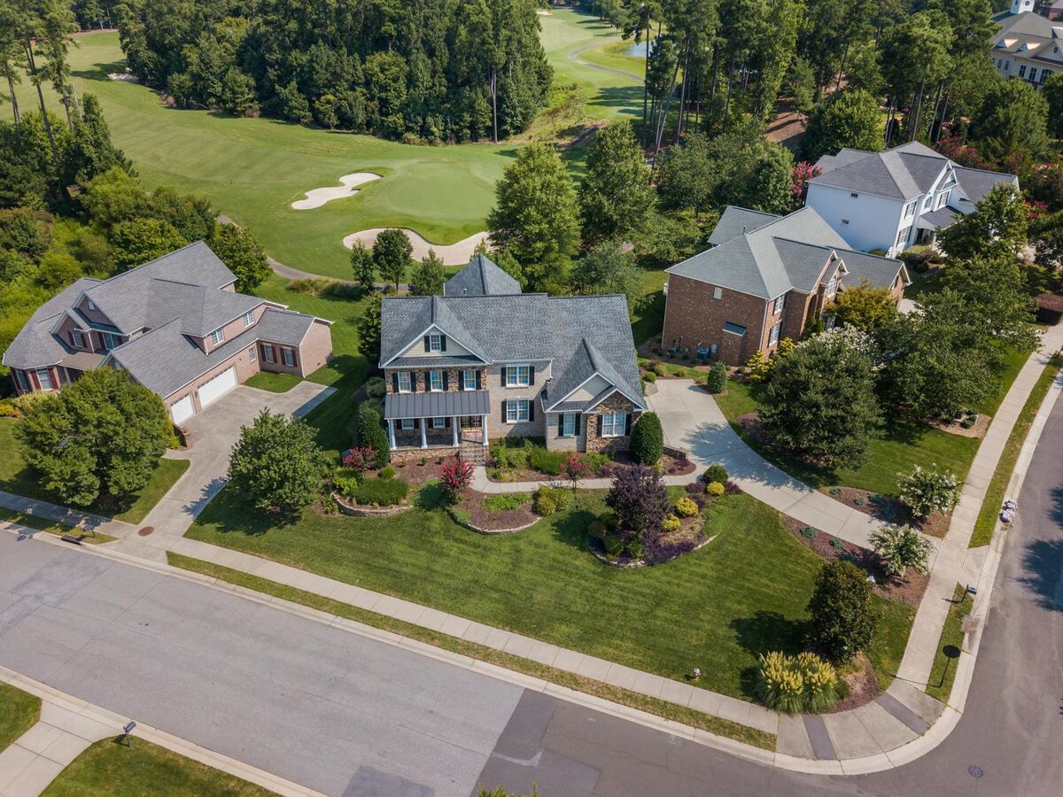
- Roofs. Shingle, tile and membrane roofs are the most common drone inspection. See our drone roof inspection guide and the drone roof inspection cost breakdown.
- Homes. Home inspectors add drone roof documentation to buyer reports; see the home inspection drone guide.
- Facades. Vertical passes find cracks, spalling and failed sealant on tall buildings; see drone facade inspection.
- Commercial property. Facility teams inspect roofs, parking structures and envelopes; see drone commercial property inspection.
- Bridges and roads. Drones reduce lane closures and under-bridge access equipment; see bridge and roadway inspections.
- Solar farms. Thermal flights find failed cells and strings across large arrays; see solar farm inspection.
- Wind turbines. Close passes along each blade find erosion, cracks and lightning damage; see wind turbine drone inspection.
- Utilities. Lines, poles, substations and towers can be checked without climbing; see utility infrastructure inspections.
Insurance adjusters and public agencies also fly drone inspections after storms, fires and collapses to document damage before cleanup changes the scene.
How does a drone inspection work?
A drone inspection runs in five steps: plan the flight and permissions, fly a repeatable pattern around the asset, process the imagery into photos, maps or a 3D model, review and annotate defects, then deliver a report. A single roof can be flown and processed in under an hour; large sites take longer.
- Plan. Check airspace, get the owner's permission, review drawings or past reports, and choose sensors for the defects you expect.
- Fly. Use an automated pattern where possible so the next inspection repeats it. Typical patterns are an orbit around a building, a grid over a roof or array, and vertical passes up a facade or tower.
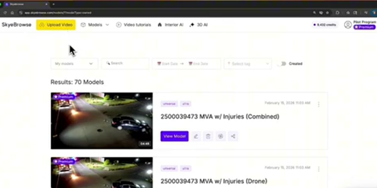
- Process. Upload the photos or video to inspection software. With SkyeBrowse, video uploads through Universal Upload or the SkyeBrowse Flight App and processes at roughly a minute per minute of footage.
- Review. Mark defects, measure them, and grade severity. Compare with the previous inspection if one exists.
- Report. Deliver annotated images, a model link, and exports to the owner, engineer or insurer.
Repeatability is what turns single inspections into a maintenance program. Flying the same path at the same distance each time makes change easy to see.
What sensors does an inspection drone use?
An inspection drone usually carries a high-resolution RGB camera with zoom for visual defects, and often a thermal camera for moisture, insulation and electrical hot spots. LiDAR adds geometry under vegetation, and continuous video lets software build a measurable 3D model of the asset from the same flight.
Match the sensor to the defect:
- Zoom RGB finds cracks, corrosion, missing fasteners, granule loss and impact damage. It is the default for almost every drone inspection.
- Thermal shows heat differences: wet roof insulation, failed solar cells, overheating electrical connections. Thermal readings need the right time of day and conditions to be reliable.
- LiDAR measures geometry with laser pulses and can see the ground through gaps in vegetation, which helps on corridor and terrain work.
- Video for 3D captures the whole asset continuously. Videogrammetry software reconstructs a measurable 3D model from the frames, so one flight gives both the visual record and the geometry.
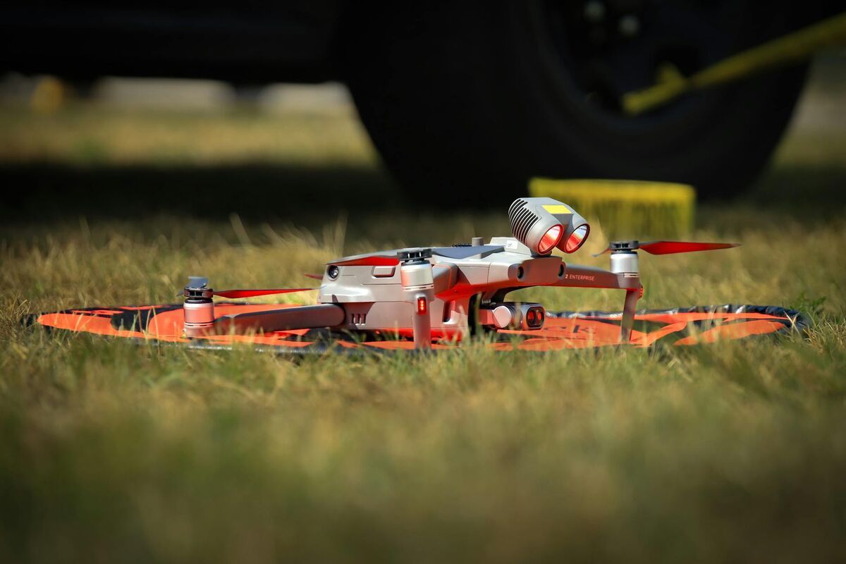
Most enterprise inspection drones combine zoom and thermal in one payload, such as the DJI Matrice 30T, Matrice 4T and Mavic 3 Thermal. For the 3D side, any drone that records .MP4 or .MOV video works with SkyeBrowse, and the supported drones list shows which aircraft the Flight App can fly automatically.
How much does a drone inspection cost?
Drone inspection cost depends on the asset, the site, travel and the deliverable. Service providers charge per property, per asset, per hour or per project, so a single-family roof costs far less than a bridge, a solar farm or a wind farm. In-house programs trade service fees for a drone, pilot time and software.
Cost drivers to ask about when you get a quote:
- Asset size and complexity, such as roof area, tower height or number of turbines.
- Deliverable: photos only, an orthomosaic, a 3D model, a thermal report, or an engineering-grade report.
- Access and permissions, including controlled airspace, traffic control near roads, or site safety training.
- Travel and mobilization to remote sites.
- Turnaround: same-day reports cost more when processing and review are manual.
For residential roofs, our drone roof inspection cost guide and drone services pricing overview give current market ranges.
Software is the most predictable line in an in-house program. SkyeBrowse prices per model: a Commercial model is $24.99 ($19.99 billed annually) with 3 months of storage, a Pro model is $49.99 ($39.99 billed annually) with 1 year of storage and LAZ, GLB, OBJ and GeoTIFF exports, and Public Safety & Enterprise is $199 per model per year with 16K processing and 5-year storage. Commercial includes up to 5 users with no seat fees, and Freemium organizations can get their first full Commercial model for $5. See the pricing page for details.
Should you hire drone inspection services or inspect in-house?
Hire drone inspection services for occasional jobs, specialized assets, or inspections that need a licensed engineer's sign-off. Bring drone inspections in-house when you inspect often, already have staff who can earn a Part 107 certificate, and want the data on your own schedule. Many organizations do both.
Drone inspection services make sense when you need a few inspections a year, when the asset needs specialized sensors or experience (bridges, live electrical, tall towers), or when the report must carry an engineer's or certified inspector's stamp. When choosing a provider, ask for their Part 107 certificates, insurance, sample deliverables, and how they handle data ownership.
In-house drone inspection pays off for roofing contractors, property managers, insurers, facility teams and utilities that inspect every week. A compact drone, a certified pilot and cloud processing software are enough to start. The savings come from removing the scheduling wait and mobilization fee on every job, and from owning the data for future comparisons.
Inspection software is the piece both models share. A provider may deliver a SkyeBrowse model link, or your own team can upload its flights and keep every model in one account.
What rules apply to drone inspections?
In the US, commercial drone inspections fall under FAA Part 107: the pilot holds a Remote Pilot Certificate, the drone is registered and broadcasts Remote ID, and flights stay under 400 feet above ground or within 400 feet of a structure, in visual line of sight, with airspace authorization where needed. State privacy and trespass laws also apply.
The FAA Part 107 rules let an inspection drone fly higher than 400 feet above ground when it stays within a 400-foot radius of a structure and no higher than 400 feet above its top, which is what makes tower and tall building inspections possible. Night flights are allowed with the required training and anti-collision lighting. Controlled airspace near airports needs LAANC or FAA authorization.
Asset owners add their own requirements. Bridge inspections follow the programs described in the FHWA bridge inspection guidance, utilities usually require site safety training and minimum distances from energized lines, and industrial sites often require a permit to work.
People often ask whether a neighbor can legally fly a drone over their house. Federal rules regulate the airspace and allow overflight of private property in general, while state and local laws on privacy, harassment and trespass still apply. Professional inspection pilots should always get the property owner's permission and avoid capturing neighboring yards.
How does a 3D model improve a drone inspection report?
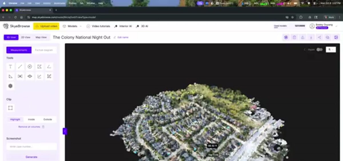
A 3D model shows every defect in context on the real geometry of the asset, lets reviewers measure damage from a browser, and keeps a dated record for the next inspection. SkyeBrowse builds that model from ordinary drone video in minutes, so the report can go out the same day as the flight.
SkyeBrowse is a cloud videogrammetry platform: it reconstructs 3D geometry from the frames of a continuous video instead of hundreds of planned photos. Upload inspection video at app.skyebrowse.com and get a 3D mesh, a point cloud and a georeferenced orthomosaic with no desktop software. DJI .SRT and Autel .ASS telemetry files improve georeferencing.
Accuracy depends on the plan and on capture distance. Commercial and Pro models process at 8K with 0.5 inch accuracy; Public Safety & Enterprise models process at 16K with 0.1 inch accuracy and AI Moving Object Removal. Flying closer to the surface raises detail, so close facade and blade passes produce survey-grade models. In an independent accuracy study by AirBorne Works, SkyeBrowse video models came closest to Leica BLK360 laser-scan ground truth on 8 of 9 measurements, outperforming photo-based Pix4D Mapper and Leica BLK3D.
What inspectors do with the model:
- Measure cracks, damaged areas, roof facets and clearances with the distance tools.
- Annotate defects with notes so the contractor sees exactly where to work.
- Review source frames through image walkthroughs, which link points on the model to the captured video frames.
- Share a link with owners, insurers and engineers who can open it in a browser.
- Export LAZ, GLB, OBJ or GeoTIFF on Pro and Public Safety & Enterprise for GIS, CAD and asset management tools.
For regulated owners, SkyeBrowse runs on AWS GovCloud (US) at FedRAMP Impact Level 2, and Public Safety & Enterprise adds full CJIS compliance, chain of custody and unlimited users.
FAQ
What is a drone inspection?
A drone inspection is a visual condition survey of a roof, building, bridge, tower, solar array, wind turbine or other structure flown by a drone. The drone captures photos, video or thermal imagery from positions that would otherwise need ladders, lifts, scaffolding or rope access, and the data is reviewed to find damage and plan repairs.
How much does a drone inspection cost?
Drone inspection services price per property, per asset, per hour or per project, so a simple residential roof costs far less than a bridge or a wind farm. Teams that fly in-house pay for the drone, pilot time and software; SkyeBrowse processing starts at $24.99 per Commercial model and $49.99 per Pro model with exports. See pricing.
Is a drone roof inspection worth it?
For most roofs, yes. A drone inspection keeps the inspector off steep or fragile roofs, covers the whole surface in minutes, and leaves a photo and 3D record for insurers, buyers or contractors. Hands-on checks still make sense when a defect needs to be touched or tested. Our drone roof inspection guide covers the full process.
Is it legal for my neighbor to fly a drone over my house?
The FAA regulates the airspace, and flying over private property is not automatically illegal under federal rules. State and local laws on privacy, harassment and trespass still apply, and some states restrict drone surveillance of private property. Professional inspection pilots get the property owner's permission before flying.
What certifications do drone inspection pilots need?
In the United States, anyone flying a drone inspection for business needs an FAA Part 107 Remote Pilot Certificate and a registered drone. Some asset classes add their own requirements, such as bridge inspection programs that follow FHWA and state DOT standards, and utilities that require specific safety training.
Upload your first video free. Create a free SkyeBrowse account, upload a drone video, and get a 3D model processed in the cloud. Freemium organizations that have never had a paid plan can get their first full Commercial model for $5 (normally $24.99), with every Pro tool and export and 90-day storage.