Drone search and rescue puts an aircraft over a search area within minutes of a callout, scanning terrain with thermal and zoom cameras while ground teams are still gearing up. A search and rescue drone covers open ground faster than a line of searchers, reaches cliffs, rivers and collapse sites without risking responders, and records everything it sees. This guide covers how SAR teams use drones, what to look for in a thermal drone for search and rescue, how to run a drone search, the FAA rules, and how mapping the search area into a 3D model gives incident command a record of every sector cleared.
Key Takeaways
- Drones help SAR teams in three ways: finding the subject (thermal and zoom), mapping the search area, and planning the rescue once the subject is found.
- Thermal cameras detect body heat best at night, in early morning, and over open ground, water or snow; dense canopy and hot afternoons cut detection sharply.
- A georeferenced map of the search video shows exactly which ground the drone covered, so incident command can reassign gaps instead of re-searching cleared sectors.
- SkyeBrowse is the mapping layer: it turns search video into 3D models and orthomosaics in minutes, and its Flight App flies automated grids on thermal drones such as the DJI Matrice 30T, Mavic 3 Thermal and Matrice 4T.
- Most SAR drone flights run under FAA Part 107 or an agency COA, with emergency airspace access through an FAA Special Governmental Interest authorization.
Contents
- How are drones used in search and rescue?
- What makes a good search and rescue drone?
- How does a thermal drone for search and rescue find people?
- What are the four types of search and rescue?
- How do SAR teams run a drone search?
- Why map the search area with drone video?
- What FAA rules apply to drone search and rescue?
- FAQ
How are drones used in search and rescue?
In drone search and rescue, teams fly drones to search open terrain for a missing person's heat signature, check hazards such as cliffs and rivers before sending people in, drop light payloads like radios or flotation, relay a live view to incident command, and map the search area. The drone shortens the search and keeps responders out of danger.
The DHS Science and Technology Directorate has run field assessments with first responders to test small drones on search missions, because the payoff is clear: an aircraft at 200 feet sees over brush, across ravines and along riverbanks that would take a hasty team hours to walk. Typical missions include:
- Lost or overdue hikers and hunters in open country, where thermal at night is most effective.
- Missing people with dementia or autism who wander from home, often found close by in yards, drainage ditches or tree lines.
- Water searches along shorelines, flood zones and swift water, where a drone can spot a person or a vehicle without putting a boat crew at risk.
- Disaster response after hurricanes, floods and tornadoes, where drones check damaged neighborhoods for survivors and map access routes. Our guide to drone disaster response mapping covers the incident command side.
- Fleeing suspects and evidence searches for law enforcement, covered in our police drone guide.
What makes a good search and rescue drone?
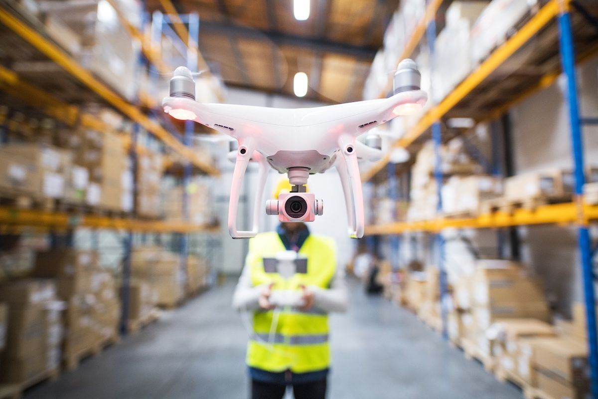
A good search and rescue drone pairs a radiometric thermal camera with a high-zoom visual camera, flies at least 35 to 40 minutes per battery, tolerates wind and light rain, and carries a spotlight or speaker. It should also record standard video with GPS telemetry so the footage can be mapped after the flight.
Most teams settle on an enterprise thermal drone such as the DJI Matrice 30T, Mavic 3 Thermal or Matrice 4T, or US-built aircraft from Skydio and others where procurement rules require it. Ask these questions before buying:
- Thermal resolution. A 640 x 512 sensor resolves a person from farther away than a 320 x 256 sensor, which means wider search lanes per pass.
- Zoom. When thermal flags a hot spot, the pilot needs optical zoom to confirm whether it is a person, a deer or a warm rock without dropping altitude.
- Endurance and batteries. Searches run for hours. Budget enough batteries and a field charging plan to keep one aircraft airborne continuously.
- Weather rating. Searches often launch in the weather that caused the emergency, so an IP-rated airframe matters.
- Payloads. Spotlights help ground teams at night, speakers let you talk to a found subject, and drop mechanisms can deliver a radio or flotation device.
- Video and telemetry. Choose aircraft that save .MP4 or .MOV video with a GPS log (.SRT on DJI, .ASS on Autel). That is what lets mapping software georeference the footage.
The SkyeBrowse Flight App flies automated orbits and WideBrowse grid missions on supported aircraft, including the Matrice 30T, Mavic 3 Thermal and Matrice 4T, and any other drone's video can go in through Universal Upload. Check the supported drones list for controller requirements.
How does a thermal drone for search and rescue find people?
A thermal drone for search and rescue finds people by detecting the contrast between body heat and the cooler ground around them. The pilot or a spotter watches the thermal feed for warm, person-sized shapes, then switches to zoom to confirm. Contrast is highest at night and early morning and lowest on hot afternoons.
Thermal is the single most useful sensor for drone search and rescue, and it has hard limits that every team should brief:
- Canopy blocks heat. Dense leaves hide most of a person's signature. Thermal works best over fields, sparse woods, rock, water and snow.
- Ambient temperature matters. When sun-heated ground approaches body temperature, people stop standing out. Plan thermal sorties for night, dawn and overcast periods.
- Altitude trades coverage for detail. Flying higher widens each pass but shrinks a person to a few pixels. Teams usually search lower than they would fly for mapping, then map from a higher, steadier pattern.
- Clothing and exposure change the signature. A subject in a sleeping bag or under a tarp may show only a faint hot spot.
Detection is the drone camera's job and the pilot's eyes. SkyeBrowse does a different job in the same mission: it maps the ground the aircraft flew over so command knows what was covered. SkyeBrowse also lists thermal mapping among its plan-dependent features for teams that want to build a model from thermal video.
What are the four types of search and rescue?
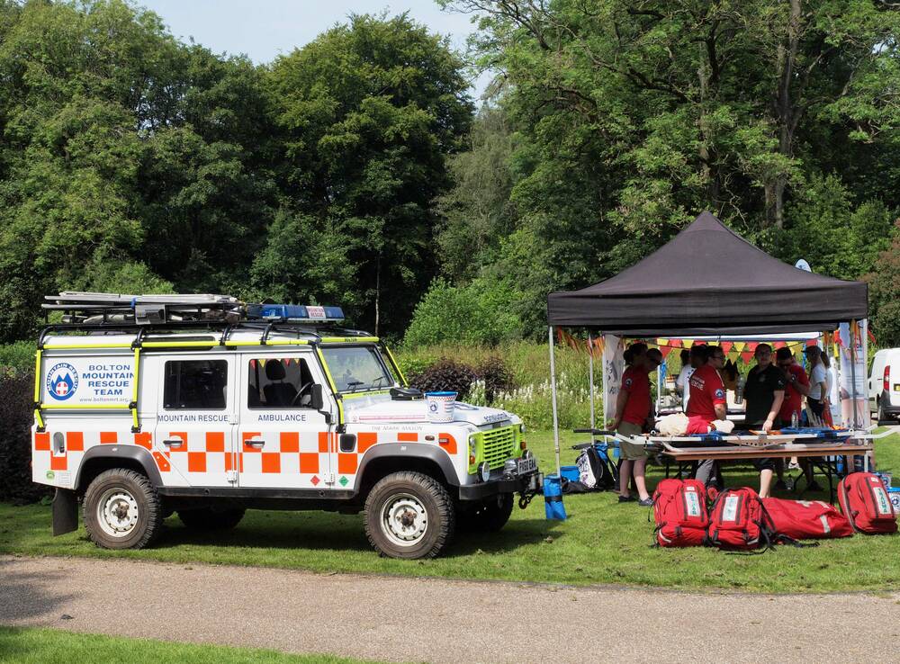
Search and rescue is commonly grouped into four types: wilderness or ground SAR for people lost in open country, urban SAR after structural collapse, water and maritime SAR on coasts, rivers and floods, and combat SAR run by the military. Civilian drone programs focus on the first three.
Drones fit each civilian type differently. In wilderness SAR, they search open sectors with thermal and map the terrain for route planning. In urban SAR, they assess collapse sites from above, find voids and safe approach routes, and give structural specialists a measurable model of the debris. In water SAR, they scan shorelines and flood zones and help swift-water teams plan entry and downstream catch points.
Civil Air Patrol, the US Air Force auxiliary, flies inland search missions across the country, and its units also map large areas for disaster response. The CAP Massachusetts Wing mapped more than 10,000 acres of coastline in 45 minutes with SkyeBrowse using camera video shot from a Cessna, showing how video mapping scales from a single drone orbit to a regional survey.
How do SAR teams run a drone search?
A drone search starts with the incident commander assigning the drone team a sector, a search pattern and a radio channel. The pilot flies the pattern with thermal or zoom, the spotter calls out clues with GPS coordinates, and after landing the team uploads the video so the covered area can be mapped and logged.
A typical drone search and rescue sortie runs like this:
- Brief. Get the last known point, subject profile, weather, and any manned aircraft on scene. Agree on altitude separation with helicopters.
- Assign the sector. Use high-probability areas first: trails, drainages, water features, and terrain that matches the subject profile.
- Fly the pattern. Parallel track grids cover open fields, contour lines follow slopes and drainages, and expanding squares search around a clue. A WideBrowse grid in the SkyeBrowse Flight App flies a consistent lane spacing automatically.
- Confirm clues. When the spotter flags a hot spot or object, the pilot zooms in and records coordinates for the nearest ground team.
- Land, swap, upload. Swap batteries, and upload the sector video so the map is building while the next sortie flies.
- Debrief. Report the area covered, conditions and clues to planning so the next operational period starts from facts.
Keep the drone team tied into incident command. The team leader should check in through the planning section like any other resource, so drone sectors appear on the same map as ground, dog and air assignments.
Why map the search area with drone video?
Mapping the search video gives incident command a georeferenced record of exactly which ground the drone covered, a current picture of terrain and hazards for the rescue plan, and a permanent file for after-action review. SkyeBrowse builds that map from ordinary drone video in minutes after upload, with no desktop software.
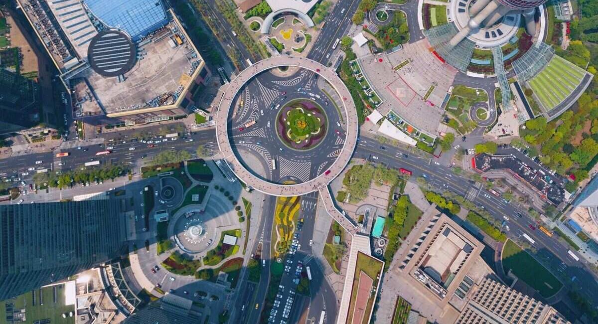
SkyeBrowse uses videogrammetry, which reconstructs 3D geometry from the frames of a continuous video. Upload a sector's video at app.skyebrowse.com and the cloud returns a 3D model and a 2D orthomosaic, a scaled overhead map stitched from the frames, in roughly a minute of processing per minute of video. That turnaround means the map of the first sortie can be on the planning table before the second one lands.
What the map does for a search:
- Coverage record. Planners see where the drone actually flew and which areas still need ground teams, which cuts duplicate effort across shifts.
- Fresh terrain. Washed-out trails, new debris and flood lines show up on today's map rather than last year's satellite image.
- Rescue planning. Once the subject is found, a model of the cliff, ravine or debris pile lets technical teams measure distances, check approach routes, and pick a landing zone before committing people. Pro and Public Safety & Enterprise models add topographic maps and Line of Sight, and Public Safety & Enterprise adds slope and profile analysis.
- Sharing. Commanders, mutual-aid agencies and state emergency managers open the same model by link. Public Safety & Enterprise includes unlimited users, so every agency on the incident can have access.
- Records. Public Safety & Enterprise models keep 5-year storage and chain of custody, which supports after-action reviews and any investigation that follows. If a missing person case becomes a criminal case, the georeferenced search record is already preserved.
Exports in GeoTIFF, LAZ point cloud and GLB mesh formats load into GIS tools such as ArcGIS and QGIS. Public Safety & Enterprise processes at 16K with 0.1 inch accuracy; Commercial and Pro process at 8K with 0.5 inch accuracy.
What FAA rules apply to drone search and rescue?
Drone search and rescue flights follow FAA Part 107 or a public aircraft COA held by the sponsoring agency. Pilots stay under 400 feet and within visual line of sight unless authorized otherwise, and teams request a Special Governmental Interest authorization when the search is inside restricted airspace or a TFR.
The FAA's public safety and government page explains both pathways. Volunteer teams usually fly under Part 107, so each pilot holds a Remote Pilot Certificate. Teams that work for a sheriff or fire department can fly under that agency's COA. Night searches are allowed under current Part 107 rules when the pilot has completed the updated training and the drone shows anti-collision lighting.
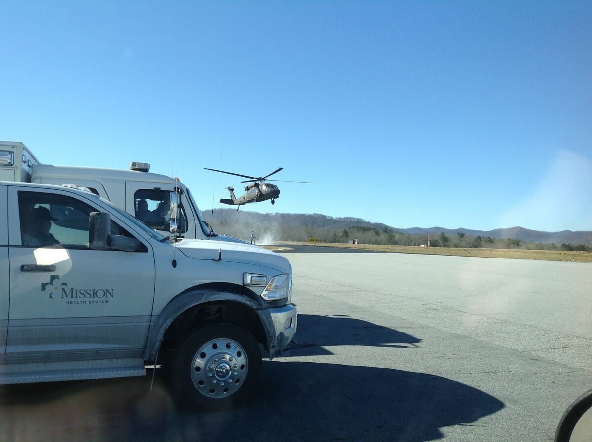
Coordinate with manned aircraft every time. Helicopters and Civil Air Patrol planes often work the same incident, so set altitude blocks, use a shared air-to-ground channel, and land drones when a helicopter enters the sector. For agencies building a broader program, our DFR (drone as first responder) guide covers docked drones that can launch toward a missing-person call within minutes.
FAQ
Can drones be used for search and rescue?
Yes. Fire departments, sheriff's offices, volunteer SAR teams and Civil Air Patrol fly drones to search fields, woods, shorelines and collapse sites. A thermal camera finds body heat, a zoom camera confirms clues, and mapping software turns the search video into a map of every sector the drone covered.
Can a thermal drone find a person under trees?
Only partly. Dense leaf canopy blocks most of the heat signature, so thermal works best over open ground, sparse woods, water and snow, and at night or early morning when the ground is cooler than a person. Under heavy canopy, ground teams and dogs still do most of the finding.
Does SkyeBrowse detect people in drone video?
No. Detection comes from the drone's thermal and zoom cameras and the pilot watching them. SkyeBrowse maps the search area and the scene: it turns the drone video into a georeferenced 3D model and orthomosaic that show which ground was covered and what the terrain looks like.
What do volunteer SAR teams need to fly drones?
Volunteer pilots usually fly under FAA Part 107, so each needs a Remote Pilot Certificate and a registered aircraft. Teams working for a sheriff or fire department may fly under that agency's public aircraft COA, and emergency airspace access comes through an FAA Special Governmental Interest request.
How much does SkyeBrowse cost for search and rescue teams?
Public Safety & Enterprise is $199 per model per year with 16K processing, unlimited users and 5-year storage. Commercial models start at $24.99 and Pro models at $49.99; see pricing. Public safety agencies can apply for a free Pilot Program of about two weeks.
Try SkyeBrowse at your agency. Public safety and government agencies can apply for the Pilot Program, a free trial of about two weeks with full Public Safety & Enterprise access. To plan a purchase, request a quote.