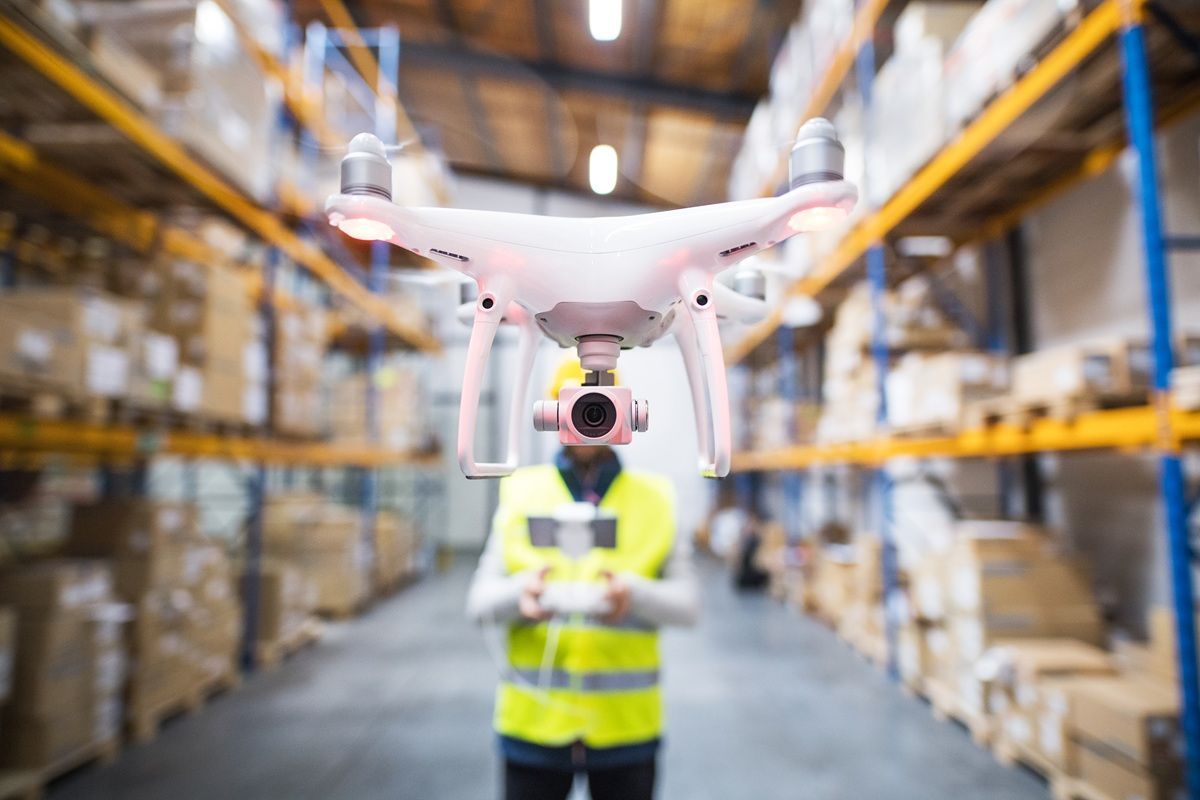
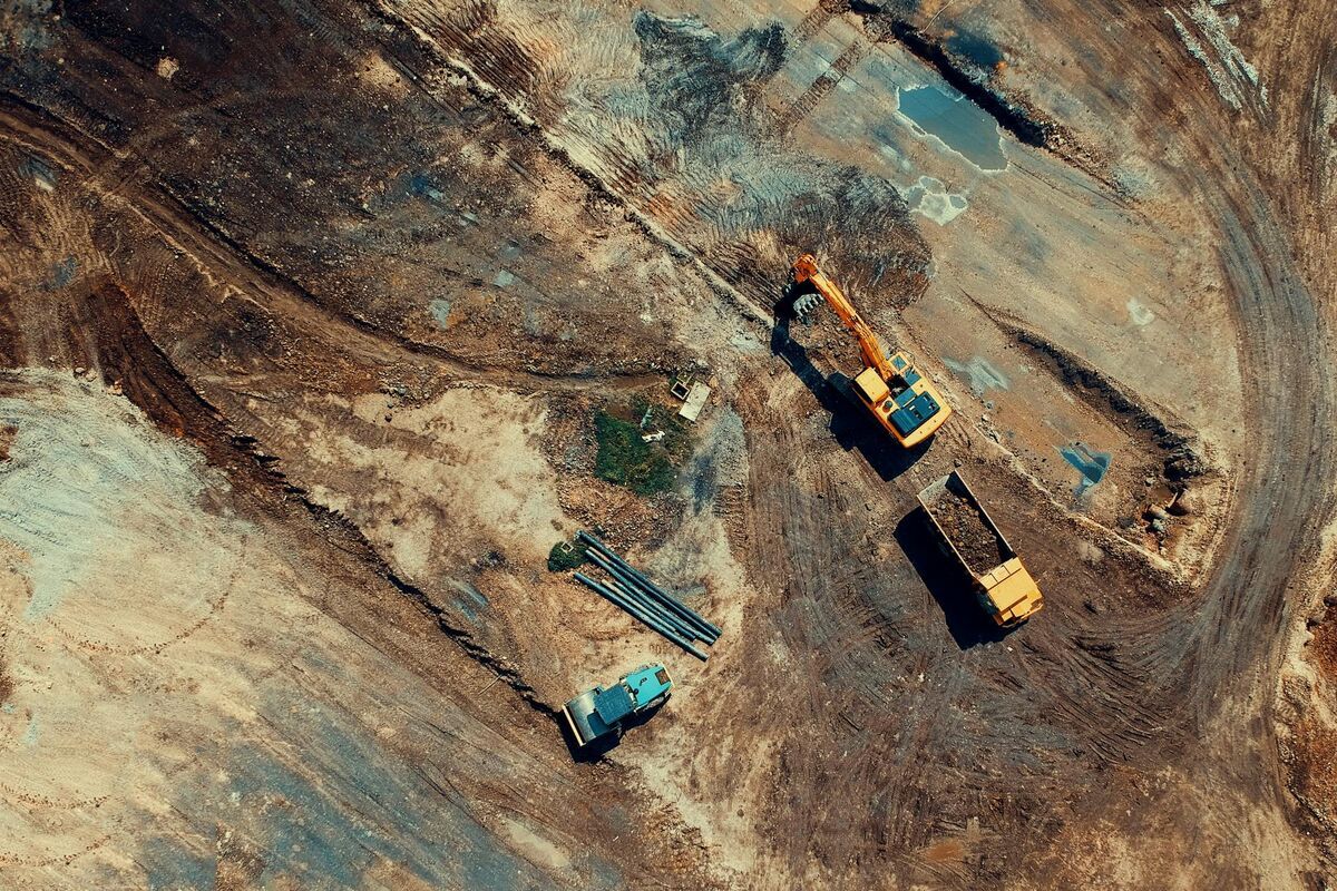
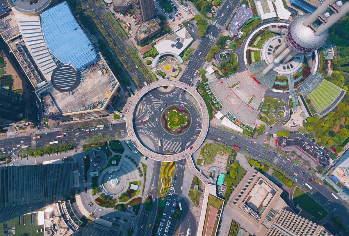
Aerial photogrammetry, the science of extracting precise measurements and 3D geometry from overlapping aerial photographs, has been a cornerstone of surveying and mapping for over a century. Consumer and commercial drones turned aerial photogrammetry from a specialty discipline requiring manned aircraft into an everyday field tool. This guide explains what aerial photogrammetry is, how the drone-based workflow operates, where accuracy comes from, which industries rely on it, and how videogrammetry, a newer approach pioneered by platforms like SkyeBrowse, fits into the picture.
Key Takeaways
- Aerial photogrammetry derives precise measurements and 3D geometry from overlapping drone photographs.
- With ground control points, horizontal accuracy of 1-2 cm and vertical accuracy of 2-5 cm is achievable.
- Videogrammetry (video-based capture) reduces field time from 20-40 minutes to 3-5 minutes per site.
- It's used across surveying, construction, public safety, insurance, agriculture, and heritage preservation.
Contents
- What is drone imagery?
- What is aerial photogrammetry?
- How does the drone photogrammetry workflow work?
- What determines accuracy in aerial photogrammetry?
- Which industries use aerial photogrammetry?
- How does videogrammetry compare to photo-based aerial photogrammetry?
- FAQ
What Is Drone Imagery?
Drone imagery is aerial photos and video captured by unmanned aerial vehicles (UAVs) for mapping, inspection, surveillance, and 3D reconstruction. The term covers any visual data, still frames or continuous video, recorded by a drone-mounted camera during a flight mission.
Drone imagery and aerial photogrammetry are related but distinct: drone imagery is the raw visual output captured during a flight, while aerial photogrammetry is the measurement-extraction process applied to it, using overlapping frames to triangulate 3D coordinates and produce deliverables such as orthomosaics, digital elevation models, and point clouds.
This distinction matters in practice. A roof inspection may only need drone imagery reviewed as stills or video, with no photogrammetric processing required. When measurable geometry is the goal, imagery must be collected with sufficient overlap, consistent altitude, and accurate position metadata. Proper UAV mapping workflow design determines whether it qualifies for photogrammetric reconstruction or serves only as visual reference.
What is aerial photogrammetry?
Aerial photogrammetry is the technique of deriving measurements, maps, and 3D models from photographs taken from above, traditionally from aircraft, now routinely from drones. Overlapping images taken at known positions allow software to triangulate the 3D coordinates of every visible ground point, producing orthomosaics (geometrically corrected aerial maps), digital elevation models (DEMs), and textured 3D meshes.
The word "photogrammetry" combines the Greek roots for light, writing, and measurement, and the field has been codified in professional standards by the American Society for Photogrammetry and Remote Sensing (ASPRS) since the early twentieth century. For the underlying science, see our dedicated explainer on photogrammetry. Traditional aerial photogrammetry used large-format cameras aboard fixed-wing aircraft to map entire regions; drone photogrammetry retains the same geometric principles at a fraction of the cost.
The core mathematical engine is Structure from Motion (SfM), which matches features across overlapping images and back-calculates camera positions and a dense 3D point cloud simultaneously. That point cloud's outputs, orthomosaics, DEMs, and mesh models, form the deliverables surveyors and engineers act on. See the drone mapping guide for a broader treatment.
How does the drone photogrammetry workflow work?
A drone photogrammetry mission has four phases: flight planning, data capture, processing, and delivery. During data capture, the drone flies a grid or orbital pattern and fires its camera at regular intervals, producing images with 70-90% forward overlap and 60-80% side overlap. Processing software then aligns the images, builds a dense point cloud, and generates the desired map or model outputs.
Flight planning sets altitude, overlap, and flight path. Higher altitude means faster coverage but coarser resolution, a larger ground sample distance (GSD). A GSD of 2-3 cm per pixel is typical for construction or survey work; crash scene documentation often targets 1 cm or finer.
Data capture is performed autonomously by mission-planning apps (DJI Pilot 2, DroneDeploy, Pix4Dcapture) that record GPS position and attitude for every image trigger, embedding that as telemetry that anchors the reconstruction.
Processing runs in desktop software (Agisoft Metashape, Pix4Dmapper, RealityCapture) or in the cloud, through feature matching, point cloud reconstruction, mesh generation, and orthomosaic export. A 400-image survey at high quality can take one to four hours on a GPU workstation.
Delivery formats match their downstream function: LAZ point clouds for CAD or GIS, GeoTIFF orthomosaics for mapping platforms, and GLB meshes for BIM ingestion or courtroom visualization, georeferenced to a real-world datum when GCPs or RTK telemetry are used.

What determines accuracy in aerial photogrammetry?
Accuracy in aerial photogrammetry comes from three interacting variables: ground sampling distance (GSD), image overlap percentage, and the use of ground control points (GCPs). GSD, the real-world size of one pixel at ground level, is set by flight altitude and sensor resolution together. Without GCPs, relative accuracy is typically one to three times the GSD; with surveyed GCPs, absolute accuracy can reach 1 to 2 cm horizontally and 2 to 5 cm vertically on well-textured surfaces.
GSD, altitude, and sensor resolution form a fixed relationship: GSD (cm/pixel) equals flight altitude times sensor pixel pitch, divided by focal length. A DJI Mavic 3E at 80 m altitude produces roughly 2.0 cm GSD; at 40 m that halves to 1.0 cm. Most pipelines can't reconstruct geometry finer than 2 to 3 times the GSD, so flight parameters set a hard ceiling on achievable accuracy before software gets involved.
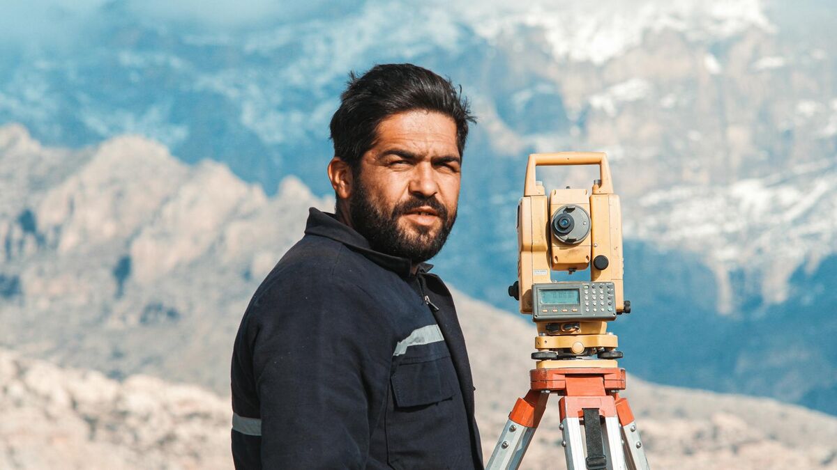
Ground control points are precisely surveyed markers placed before flight, measured with a total station or RTK GNSS receiver and matched to their pixel positions to anchor the reconstruction to a real-world datum. The ASPRS Positional Accuracy Standards for Digital Geospatial Data define formal accuracy classes, Class I through Class III, specifying minimum GCP count and error thresholds for certified deliverables, and the USGS lidar base specification publishes complementary elevation-accuracy benchmarks drone teams reference. When GCPs are impractical, emergency scenes or time-critical incidents, RTK/PPK drones can geolocate each image to 1 to 3 cm without placing ground markers. See the ground control points guide for setup detail.
Overlap percentage is the other critical lever: dropping front overlap below 70% causes tie-point gaps and reconstruction artifacts on flat or uniform terrain. SkyeBrowse's processing tiers reflect the practical accuracy spectrum: Commercial and Pro (0.5 inch, 8K) for construction measurement and Public Safety & Enterprise (0.1 inch, 16K with AI moving-object removal) for forensic documentation, all without requiring GCPs.
Which industries use aerial photogrammetry?
Aerial photogrammetry is used across surveying and civil engineering, public safety, construction, insurance, agriculture, environmental monitoring, and cultural heritage preservation. Each industry uses the same core outputs, orthomosaics, DEMs, and 3D meshes, for different decisions, from volumetric calculations to crash scene documentation.
Surveying and civil engineering: Topographic surveys, corridor mapping for roads and pipelines, earthwork volume calculations, and boundary confirmation. Drone photogrammetry can complete in hours what a ground survey crew takes days to measure.
Public safety: Law enforcement and fire departments document crash scenes, crime scenes, structure fires, and disaster areas, producing a permanent, court-admissible record that doesn't require revisiting the scene. See the fire department operations guide for more.
Construction: Progress monitoring, as-built verification, cut-and-fill calculations, and BIM coordination. Repeat weekly flights build a time-series of the project's advancement.
Insurance: Roof assessments, catastrophe claims, and property documentation after storms or wildfires, giving adjusters a defensible, geo-referenced record without the safety risks of physical roof access.
Agriculture: Crop health monitoring with multispectral cameras alongside RGB photogrammetry, stand-count mapping, and irrigation planning.
Archaeology and cultural heritage: High-resolution orthomosaics and 3D models of excavation sites and artifacts, allowing non-destructive documentation at millimeter scale. See our complete guide to aerial drone surveying for flight planning and accuracy standards.
How does videogrammetry compare to photo-based aerial photogrammetry?
Videogrammetry applies the same photogrammetric reconstruction algorithms to continuous video frames rather than pre-planned still images. Because video captures hundreds of frames during a single freehand orbital flight, the operator doesn't need to plan a grid or set overlap parameters; they simply fly around the subject. This reduces field time from 20-40 minutes per site to 3-5 minutes while still producing georeferenced 3D models, orthomosaics, and point clouds.
Traditional aerial photogrammetry with still images has two practical limitations: mission planning takes time, and the grid flight pattern is rigid. If something moves, the light changes, or an emergency requires fast action, that structured approach becomes a bottleneck. Videogrammetry removes the grid entirely: a pilot captures a short orbital video, uploads the footage, and the cloud processes it into a full 3D deliverable.
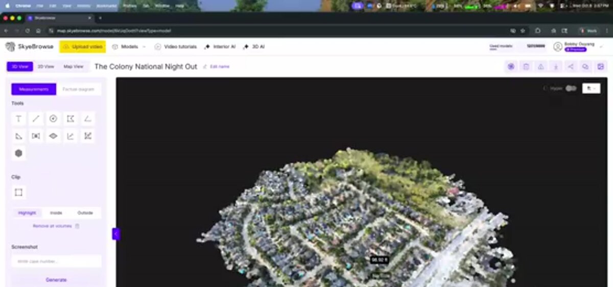
SkyeBrowse is a cloud-based videogrammetry platform used by more than 1,200 agencies worldwide, including law enforcement, fire departments, and construction teams. It accepts .MP4 and .MOV video via browser upload or the SkyeBrowse Flight App, ingests DJI (.SRT) and Autel (.ASS) telemetry for georeferencing, and delivers LAZ point clouds, GLB 3D meshes, and GeoTIFF orthomosaics, the same formats as photo-based software. Accuracy tiers range from Commercial and Pro (0.5 inch) to Public Safety & Enterprise (0.1 inch with 16K processing and AI moving-object removal), matching or exceeding traditional photogrammetry's accuracy without GCPs.
The tradeoff is coverage area per flight: grid photogrammetry can map hundreds of acres in a single mission, while videogrammetry excels at individual structures and scenes up to a few acres. For large-area survey work, agricultural fields or utility rights-of-way, photo-based drone photogrammetry remains the standard; for rapid mapping of a specific site, videogrammetry is faster. See the videogrammetry vs. photogrammetry comparison for accuracy benchmarks, or the LiDAR vs. photogrammetry guide if you're weighing lasers instead.
FAQ
What is the difference between aerial photogrammetry and LiDAR?
Aerial photogrammetry reconstructs 3D geometry from overlapping photographs using computer vision algorithms, while LiDAR uses pulsed laser beams to measure distances directly. Photogrammetry produces photo-realistic textured models but needs adequate lighting and surface texture; LiDAR penetrates canopy and works in low light but costs significantly more per flight. See the full LiDAR vs. photogrammetry comparison for a project-by-project decision guide.
How accurate is drone photogrammetry?
Without ground control points, relative accuracy is typically 1-3 times the ground sampling distance (GSD). With surveyed GCPs, absolute horizontal accuracy of 1-2 cm and vertical accuracy of 2-5 cm is achievable on well-textured surfaces at low altitude. RTK/PPK drones can approach similar accuracy without physical ground markers.
What is videogrammetry and how does it differ from photogrammetry?
Videogrammetry applies photogrammetric principles to continuous video frames rather than discrete still photographs. A single orbital flight captures hundreds of overlapping frames, so there's no need to plan a grid or trigger a camera at intervals. Platforms like SkyeBrowse use this to generate 3D models, orthomosaics, and point clouds in minutes from off-the-shelf DJI or Autel footage, at a fraction of the field time traditional photo-based software requires.
Upload your first video free. Create a free SkyeBrowse account, upload a drone video, and get a 3D model processed in the cloud. Freemium organizations that have never had a paid plan can get their first full Commercial model for $5 (normally $24.99), with every Pro tool and export included and 90-day storage.