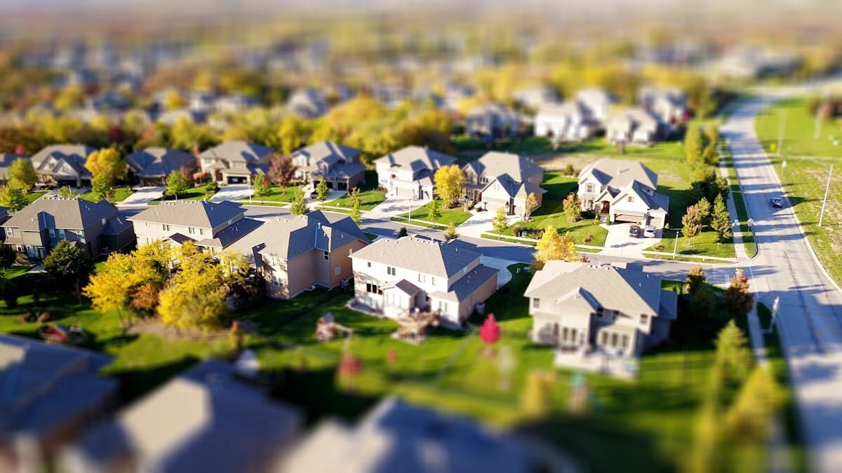
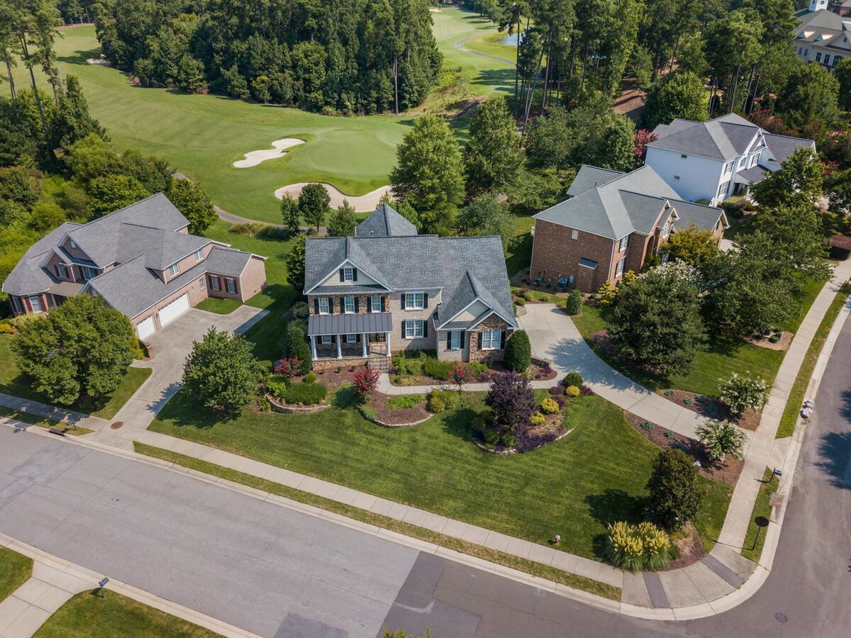
A drone roof assessment replaces the ladder, the harness, and the half-day site visit with a 10-minute aerial capture that returns a measurable 3D model of every plane, valley, ridge, and penetration on a roof. Insurance adjusters and property managers use drone-based roof assessment to eliminate fall risk, accelerate claim cycles, and produce shareable digital documentation that handwritten notes cannot match. For storm damage quantification, pre-storm condition baselines, or disputed claims requiring spatial evidence, aerial assessment now outperforms manual inspection on every practical metric.
Key Takeaways
- A drone roof assessment eliminates adjuster ladder exposure entirely — falls account for more than one-third of all construction fatalities annually per OSHA, and insurance company safety mandates increasingly prohibit adjusters from accessing roofs without documented fall protection.
- A single adjuster with a drone can assess 8–12 properties per day versus 3–4 with manual methods, with no setup time, no harness, and no waiting for a safe access window.
- SkyeBrowse's Premium tier ($99 per model) delivers 8K resolution at approximately 0.25 inch accuracy — the standard for hail, wind, and impact damage claim documentation.
- Adjusters upload a two-minute drone video and receive a measurable 3D roof model before leaving the property, cutting a typical multi-hour claim inspection to a single site visit.
- Insurance carriers increasingly require Part 107 certification for adjusters deploying drones — verify pilot credentials before accepting drone-captured claim documentation.
Contents
- What is a drone roof assessment and how does it work?
- Why do insurance carriers mandate drone-based roof assessment?
- How detailed is the output from an aerial roof assessment?
- Who uses drone roof assessment and for what purposes?
- How does SkyeBrowse support insurance roof assessment workflows?
- FAQ
What is a drone roof assessment and how does it work?
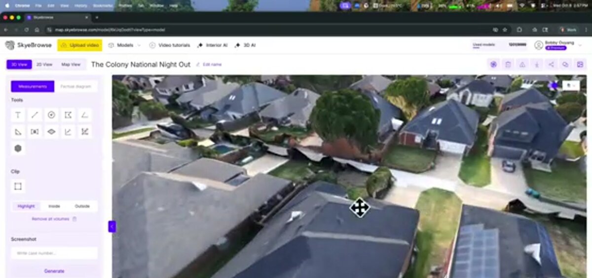
A drone roof assessment captures aerial video or photographs of a roof from multiple angles, then processing software converts that data into a georeferenced 3D model and orthomosaic — a geometrically corrected aerial image that can be measured like a map. The operator flies one orbit around the structure, uploads the footage, and receives a deliverable showing slope angles, surface area, damage locations, and measurable dimensions — all without setting foot on the roof.
The underlying technology is videogrammetry — the science of reconstructing three-dimensional geometry from continuous video frames. Unlike photo-based photogrammetry, which requires hundreds of planned still images and hours of desktop processing, videogrammetry produces results from a single-orbit video in minutes. The operator records continuous .MP4 or .MOV footage, uploads to the cloud platform, and receives a measurement-ready model while still on-site.
A full residential roof assessment typically takes 10 minutes of flight time and another 2 to 10 minutes of cloud processing depending on resolution tier. The final deliverables include an orthomosaic for flat-view measurement, a 3D mesh for angle and topology review, and a LAZ point cloud compatible with estimating platforms like Xactimate. All outputs are shareable via a browser link — no specialized software required for the recipient. For a deeper look at the inspection workflow, see the drone roof inspection guide.
Why do insurance carriers mandate drone-based roof assessment?
Adjuster fall liability is a growing exposure for insurance carriers. Falls account for more than one-third of all construction fatalities annually according to OSHA fall protection data, and carriers increasingly issue internal safety mandates prohibiting adjusters from accessing steep-pitch or structurally compromised roofs without documented fall protection — a requirement that drone assessment satisfies entirely.
When a catastrophe event produces hundreds of claims simultaneously, the pressure to accelerate inspections can push adjusters toward unsafe access decisions. Drone assessment removes that tradeoff: the adjuster remains on the ground while the drone captures every plane, ridge, and penetration. For roofs weakened by wind uplift or debris impact, this is not merely a convenience — it eliminates the liability exposure that comes with an adjuster stepping onto a structurally compromised surface.
The Insurance Institute for Business and Home Safety (IBHS) has documented that roof condition is among the strongest predictors of wind and hail claim severity. Carriers that standardize drone-based pre- and post-storm documentation gain a defensible, timestamped baseline for every policy in a catastrophe zone — reducing both claim fraud exposure and adjuster injury risk in a single workflow change.
How detailed is the output from an aerial roof assessment?
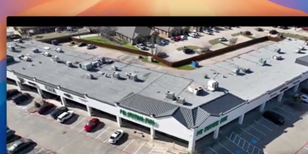
Drone roof assessment produces measurement-grade 3D models with accuracy ranging from 2 to 6 inches at the standard processing tier and down to 0.25 inches at premium resolution — sufficient to quantify hail impact density, measure individual shingle fields, calculate slope-adjusted square footage, and locate flashing gaps or ponding areas. The output is a permanent digital record that can be re-examined remotely months later without returning to the property.
Compared to manual assessment — where the deliverable is typically handwritten notes and a handful of photos — drone-based outputs support a fundamentally different level of claims documentation. An orthomosaic (a stitched aerial image corrected for camera distortion and scale) allows an adjuster to measure any roof dimension directly on-screen and annotate damage zones. The 3D mesh reveals ridgeline deformation, sagging sections, and uneven shingle planes that flat photos miss.
The Insurance Institute for Business and Home Safety (IBHS) has documented that roof condition is among the strongest predictors of wind and hail claim severity. Drone assessment captures the precise pre-storm and post-storm state of a roof in a format that supports side-by-side comparison for disputed claims.
For insurance documentation, SkyeBrowse's Premium tier ($99 per model credit) is the field standard — 8K resolution at approximately 0.25 inch accuracy, sufficient for hail, wind, and impact damage claims. The orthomosaic export maps directly to Xactimate line items, and the LAZ point cloud supports independent measurement verification by desk adjusters. For high-value disputed claims or litigation support, Premium Advanced ($199) adds 16K resolution at 0.1 inch accuracy with AI-powered moving object removal, producing forensic-grade evidence that holds up under engineering review. Lite processing (2–6 inch accuracy) serves rapid triage and portfolio condition scans where precise damage measurement is secondary to speed. See the insurance claims documentation guide for how these outputs integrate into adjusting workflows.
Who uses drone roof assessment and for what purposes?
Insurance adjusters and property managers are the primary users of drone roof assessment. Adjusters quantify storm damage for claims — hail density, wind uplift, flashing displacement — without ladder exposure. Property managers document portfolio condition for maintenance budgeting and have timestamped evidence when damage disputes arise.
Insurance adjusters benefit most directly from speed and documentation permanence. A single adjuster with a drone can assess 8 to 12 properties per day — compared to 3 to 4 with manual methods — because there is no setup, no harness, and no waiting for a safe access window. The 3D model becomes the claim file; nothing is lost to memory or illegible field notes. For more on adjuster-specific tools, see best insurance adjuster tools. For a detailed breakdown of what this workflow costs in practice, see our drone roof inspection cost guide.
Property managers and HOAs assess multiple rooftops in a single half-day flight, producing a documented condition baseline for maintenance budgeting and capital reserve planning. When a coverage dispute arises about when damage occurred or whether it predates a policy period, timestamped aerial models with embedded GPS data provide objective, carrier-defensible evidence.
Insurance carriers increasingly require FAA Part 107 certification for adjusters deploying drones — verify pilot credentials before accepting drone-captured claim documentation. Part 107 covers airspace authorization, weather minimums, and operational limitations applicable to roof assessment flights over private property.
How does SkyeBrowse support insurance roof assessment workflows?
SkyeBrowse is a cloud-based videogrammetry platform — software that converts drone video into measurement-ready 3D models — at app.skyebrowse.com, with no desktop software required. Adjusters upload a two-minute drone video and receive a measurable 3D roof model before leaving the property, cutting a typical multi-hour claim inspection to a single site visit.
For insurance carriers processing catastrophe claims at scale, SkyeBrowse compresses the inspection-to-documentation cycle from days to under an hour. Over 1,200 agencies across public safety, infrastructure, and property industries rely on SkyeBrowse for time-sensitive field documentation. The same platform that supports accident reconstruction and crime scene mapping applies its proven upload-and-process workflow to residential and commercial roof assessment.
The platform integrates directly with Xactimate and comparable estimating software through LAZ point cloud exports. GLB mesh files enable browser-based sharing with desk reviewers, property owners, and legal teams without software installation — an adjuster can share a complete, measurable 3D model with a carrier's CAT team before driving to the next property. For teams already using drone 3D mapping across other property documentation workflows, roof assessment slots directly into the same data pipeline. See the 3D mapping guide for broader context on how videogrammetry output formats work.
FAQ
How much does a drone roof assessment cost?
Drone roof assessment costs range from $75 to $400 per property. Self-operated programs running SkyeBrowse drop below $50 per roof at scale after amortizing hardware and processing subscriptions. Outsourced drone assessment services typically charge $150 to $400 for a residential property, compared to $200 to $600 for a manual inspection that includes ladder setup, safety equipment, and multi-hour site time.
What is the difference between a roof assessment and a roof inspection?
A roof assessment focuses on condition scoring, damage quantification, and documentation for insurance claims, real estate transactions, or maintenance planning. A roof inspection is a broader term that can include material testing, leak investigation, or code compliance checks. Drone-based roof assessment specifically produces a measurable 3D record — area, slope, damage locations — rather than a written report alone.
Do you need a drone license to do a roof assessment?
Yes. Any commercial drone operation in the United States, including roof assessment for compensation, requires an FAA Part 107 Remote Pilot Certificate. The FAA Part 107 exam covers airspace rules, weather, and emergency procedures. Recreational roof flights for personal use do not require Part 107 certification but must still follow FAA airspace restrictions.