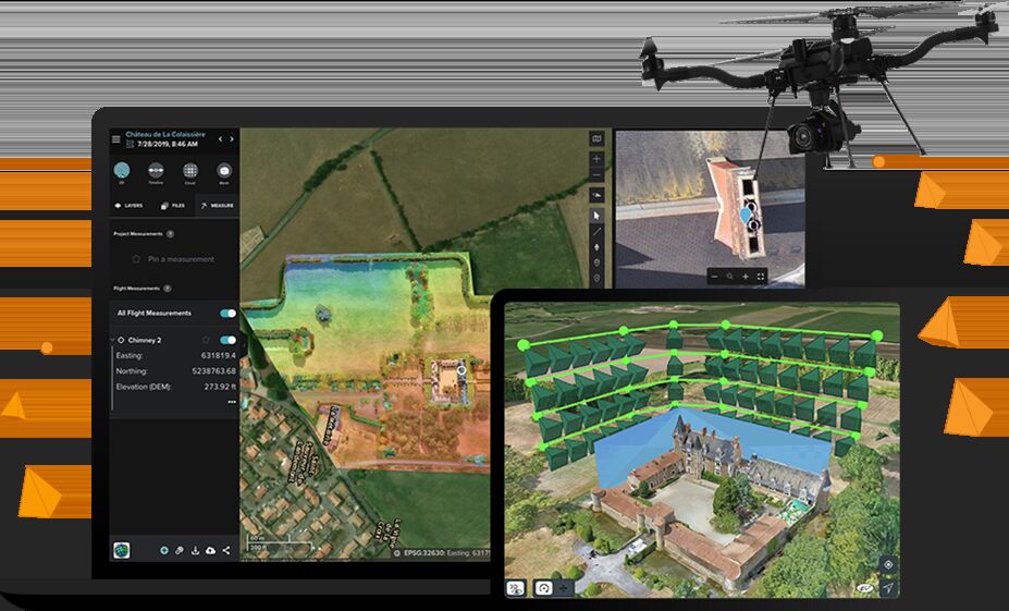
ESRI Site Scan for ArcGIS is a drone mapping add-on that funnels aerial survey data into the ArcGIS ecosystem through the Drone2Map processing engine. It requires an ArcGIS organizational account, supported DJI drones, and a dedicated flight app. SkyeBrowse is a standalone videogrammetry platform that turns video from any camera into a 3D model in minutes, with no GIS ecosystem dependency.
Contents
- Device Compatibility
- Processing Speed
- Capture Flexibility
- Accuracy and Measurement
- Pricing
- Compliance and Security
- Output and Integration
- Head-to-Head Comparison
- The Bottom Line
- Related Comparisons
- Get a SkyeBrowse Recommendation

Device Compatibility
ESRI Site Scan restricts capture to a short list of supported DJI drones running the Site Scan Flight app on iOS. Operators cannot upload photos from Skydio, Autel, or any non-approved drone platform. Handheld cameras, smartphones, body-worn cameras, and 360 cameras are not supported at all. If you do not own one of the approved DJI models, Site Scan cannot process your data.
SkyeBrowse accepts any .MP4 or .MOV video file from any device. Drone footage, smartphone walkarounds, GoPro clips, body-worn camera recordings, and 360 camera captures all feed the same videogrammetry pipeline. No proprietary app, no approved hardware list, no vendor lock-in. Your team uses whatever equipment is already in the field.
Processing Speed
Site Scan processing runs through ESRI's Drone2Map engine. A standard 200-photo survey takes 1-4 hours before results appear in the ArcGIS portal. Organizations with on-premise Drone2Map licenses can process locally, but that path requires dedicated hardware, IT support, and additional licensing. Either way, operators wait hours before they can view or measure anything.
SkyeBrowse processes video at a 1:1 ratio. A 10-minute capture produces a 3D model in approximately 10 minutes. An officer documents a crash scene and has a shareable model before leaving the area. A utility inspector captures a corridor and reviews results in the same field visit. Site Scan delivers data on a next-morning schedule. SkyeBrowse delivers it while the operator is still on site.
Capture Flexibility
Site Scan is built for planned, scheduled drone surveys. Operators define survey areas, configure altitude and overlap, and execute automated grid or corridor flight patterns through the flight app. This workflow suits GIS departments running routine surveys at known locations, such as quarterly parcel flights or annual corridor inspections. It does not accommodate unplanned events, reactive documentation, or indoor capture.
SkyeBrowse requires only a recorded video. No flight plan, no survey area boundary, no pre-configured parameters. A deputy at a crash scene orbits with a drone and uploads. An inspector walks through a facility with a phone. A SWAT team reviews a post-incident scene using body-worn camera footage. Site Scan covers scheduled aerial surveys. SkyeBrowse covers scheduled surveys, unplanned incidents, interior spaces, and everything in between.
Accuracy and Measurement
Site Scan accuracy depends on flight altitude, photo overlap, ground control points, and Drone2Map processing settings. ESRI does not publish standardized accuracy tiers for Site Scan outputs. Results vary by configuration, and achieving survey-grade accuracy typically requires GCPs and careful mission planning by a trained GIS operator.
SkyeBrowse publishes three documented accuracy tiers. Lite delivers 2-6 inch accuracy for quick operational documentation. Premium delivers 8K resolution at 0.25 inch accuracy for detailed mapping and site records. Premium Advanced delivers 16K resolution at 0.1 inch accuracy with AI moving object removal that cleans pedestrians, vehicles, and other transient objects from the model. The accuracy is consistent, documented, and defensible regardless of operator skill level. Site Scan's accuracy is configuration-dependent. SkyeBrowse's accuracy is tier-guaranteed.
Pricing
Site Scan pricing layers on top of existing ESRI licensing. The add-on runs $2,500-$5,000 per year, but every deployment requires an active ArcGIS Online organizational account, which carries its own annual fees (often $10,000+ for government agencies). For organizations already deep in the ESRI ecosystem, the incremental cost may be modest. For teams without an existing ArcGIS investment, the total cost of entry is steep: platform licensing, Site Scan licensing, supported DJI hardware, and trained GIS operators.
SkyeBrowse pricing is independent of any GIS ecosystem. Per-model credit packs and subscription tiers let teams pay for what they use. There is no platform prerequisite, no organizational account requirement, and no bundled licensing. Traditional scene documentation costs roughly $360 in personnel and time. SkyeBrowse reduces that to approximately $25 per scene, turning 3 hours with 4 staff into 10 minutes with 1 operator. A small agency processes scenes without committing to an enterprise GIS contract.
Compliance and Security
Site Scan inherits ESRI's cloud security posture. ArcGIS Online runs on ESRI-managed cloud infrastructure with FedRAMP options available through ArcGIS Enterprise (a separate, more expensive deployment). Standard Site Scan deployments do not include CJIS compliance or government-specific cloud isolation. Agencies handling criminal evidence, crash reconstruction data, or sensitive law enforcement information must negotiate enterprise agreements to approach compliance requirements.
SkyeBrowse runs on AWS GovCloud (US) with FedRAMP Moderate alignment and full CJIS compliance built into every tier. Audit trails, controlled sharing permissions, and chain-of-custody controls are standard. Data retention is guaranteed for 5 years on Premium and Premium Advanced tiers. No enterprise negotiation required. No separate deployment tier. Every SkyeBrowse account meets the compliance standard that Site Scan requires a custom ESRI Enterprise contract to approach.
Output and Integration
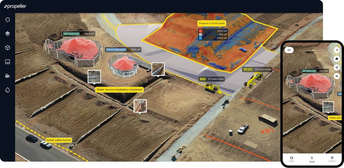
Site Scan's core strength is native ArcGIS publishing. Processed outputs appear as Scene Layers, Tiled Imagery Layers, and Hosted Feature Layers inside ArcGIS Online. For GIS analysts who live in ArcGIS Pro, this eliminates manual import steps. The tradeoff is ecosystem lock-in: outputs are optimized for ESRI tools, and sharing with non-ESRI users requires export and conversion.
SkyeBrowse exports LAZ point clouds, GLB meshes, and GeoTIFF orthomosaics. These open formats import into ArcGIS, QGIS, AutoCAD, CloudCompare, and any standards-compliant GIS or CAD platform. The browser-based 3D viewer lets prosecutors, adjusters, command staff, and partner agencies review and measure models through a shared link without any software. Site Scan publishes to one ecosystem. SkyeBrowse publishes to all of them.
Head-to-Head Comparison
| ESRI Site Scan | SkyeBrowse | |
|---|---|---|
| Device Compatibility | Approved DJI drones only | Any .MP4/.MOV device |
| Capture Method | Automated flight plan via Site Scan Flight app | Any video: drone, phone, BWC, 360 camera |
| Processing Time | 1-4 hours (Drone2Map) | ~1:1 ratio (minutes) |
| Accuracy | Configuration-dependent, no published tiers | Lite: 2-6 in, Premium: 0.25 in, Advanced: 0.1 in |
| Ecosystem Dependency | Requires ArcGIS Online organizational account | Standalone, no platform prerequisite |
| Pricing | $2,500-$5,000/yr + ArcGIS licensing | Per-model credits or subscription (no ecosystem fee) |
| Compliance | FedRAMP via Enterprise tier (separate contract) | CJIS, FedRAMP Moderate, AWS GovCloud (standard) |
| Outputs | ArcGIS Scene Layers, GeoTIFF, LAS | LAZ, GLB, GeoTIFF (open formats, browser sharing) |
| Sharing | Within ArcGIS ecosystem or manual export | Browser link to anyone, no account required |
| Data Retention | ArcGIS account-dependent | 5-year guaranteed (Premium/Advanced) |
The Bottom Line
ESRI Site Scan exists to feed drone data into ArcGIS. If your entire organization already runs on ESRI products, your GIS analysts work in ArcGIS Pro daily, and your budget absorbs enterprise platform licensing, Site Scan delivers native integration. That is its single advantage.
SkyeBrowse wins on every other dimension. Any camera instead of approved DJI drones. Minutes instead of hours. Documented accuracy tiers instead of configuration-dependent results. CJIS compliance and GovCloud hosting as standard instead of an enterprise upsell. Open export formats that work in ArcGIS and every other platform instead of ecosystem lock-in. No organizational account prerequisite, no bundled licensing, no GIS department required. For field operators, public safety agencies, construction teams, utilities, and any organization that values speed, flexibility, and compliance over ecosystem integration, SkyeBrowse is the stronger platform.
Get a SkyeBrowse Recommendation
If your team needs fast 3D models from any capture device without depending on a specific GIS ecosystem, SkyeBrowse delivers. Field operators upload video, get a model in minutes, and export to whatever platform the organization uses.