A drone agnostic mapping platform — software that processes video from any drone manufacturer without requiring proprietary hardware — is no longer a luxury for organizations running mixed fleets. Public safety agencies balance DJI for documentation, Autel for thermal search, and Skydio for autonomous inspection. When a mapping platform demands a specific brand, procurement becomes a constraint rather than a decision. This guide compares platform types, explains what true hardware agnosticism requires, and identifies where each approach fits.

Key Takeaways
- A genuinely hardware agnostic mapping platform accepts MP4/MOV from any drone manufacturer through one upload workflow — no proprietary integrations required.
- Platforms built around flight planning (Pix4D, DroneDeploy) have broader compatibility than DJI-only tools but still struggle with ad-hoc captures and non-drone video sources.
- SkyeBrowse's Universal Upload processes footage from drones, smartphones, 360-degree cameras, body-worn cameras, and dash cameras — anything that records standard video.
- Accuracy is determined by the processing engine, not the hardware brand. SkyeBrowse Premium Advanced reaches approximately 0.1 inch regardless of capture device.
- Organizations operating 10 or more deployments per month can significantly cut procurement costs by choosing hardware on capability and price rather than software compatibility.
Contents
- What does "drone agnostic" actually mean for mapping software?
- How do the major mapping platforms compare on hardware flexibility?
- What upload workflow does a hardware agnostic platform use?
- Which mission types benefit most from fleet flexibility?
- How does vendor lock-in affect long-term procurement and data access?
- FAQ
What does "drone agnostic" actually mean for mapping software?
A drone agnostic mapping platform accepts standard video or image formats from any manufacturer and processes them through a single workflow, without requiring brand-specific apps, proprietary telemetry integrations, or hardware dongles. The platform's compatibility is determined by file format support, not by which drone captured the footage.
"Hardware agnostic" is used loosely in the drone industry. Some platforms claim broad compatibility but only support multi-vendor hardware when running their own companion flight app — which may not be available or approved for every drone on your roster. Genuine agnosticism means: fly any drone, export standard video, upload once, get a 3D model.
The distinction matters in practice. A fire department capturing footage with a DJI Mavic that then needs to process a separate Autel thermal flight should not require two software subscriptions or two upload workflows. According to the FAA's UAS Integration roadmap, multi-vendor fleet operations are increasingly common as agencies balance regulatory requirements, capability needs, and acquisition cycles. Software that forces a single-vendor workflow creates operational risk when equipment is unavailable or procurement policy changes.
Videogrammetry platforms that process video — rather than requiring pre-planned photo grids — have an inherent hardware advantage. A platform accepting MP4 and MOV is functionally compatible with any drone that records standard video.
How do the major mapping platforms compare on hardware flexibility?
Mapping platforms range from fully locked (DJI Terra only processes DJI hardware) to broadly compatible but flight-plan-dependent (Pix4D, DroneDeploy) to genuinely agnostic (SkyeBrowse, which accepts any video source through a single upload). The broader the input format support, the less the platform constrains hardware purchasing decisions.
| Platform Type | Drone Compatibility | Key Constraint |
|---|---|---|
| DJI Terra | DJI drones only | Full vendor lock-in; no Autel or Skydio support |
| Pix4D / DroneDeploy | Multi-vendor with flight planning | Best results require pre-planned grid missions; ad-hoc or non-drone video unsupported |
| Open-source (WebODM, OpenDroneMap) | Hardware agnostic | Requires technical setup and processing expertise; not suited to operational field environments |
| SkyeBrowse Universal Upload | Any video source — DJI, Autel, Skydio, Parrot, smartphones, 360 cameras, body-worn, dash cam | No companion app required; single workflow regardless of capture device |
Flight-plan-dependent platforms like Pix4D and DroneDeploy require structured image grids with controlled overlap to produce reliable outputs. That prerequisite narrows effective hardware compatibility: even if the software can ingest images from any camera, inconsistent field captures from non-planned flights often produce degraded results. For teams comparing SkyeBrowse with those alternatives, the SkyeBrowse vs Pix4D comparison and SkyeBrowse vs DroneDeploy comparison cover these trade-offs in depth.
Open-source platforms like WebODM and OpenDroneMap are technically hardware agnostic but require infrastructure configuration and photogrammetry expertise that most operational teams do not maintain. The SkyeBrowse vs WebODM analysis outlines where open-source tools make sense and where they fall short for field use.

What upload workflow does a hardware agnostic platform use?
A hardware agnostic platform needs only the video file and, optionally, a telemetry log for better georeferencing. SkyeBrowse's Universal Upload accepts MP4 or MOV from any source — the operator drags the file into app.skyebrowse.com, selects the processing tier, and the model is returned to the browser. No manufacturer-specific app, no local installation.
The upload path matters operationally. Teams switching between DJI and Autel equipment mid-shift cannot afford to reconfigure software or log into separate accounts. SkyeBrowse's single upload portal handles both — and extends to non-drone sources:
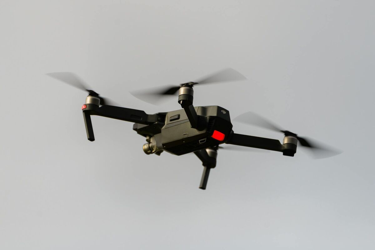
- Consumer and enterprise drones (DJI Mini, Mavic, Air, Matrice; Autel Evo; Skydio 2+/X10; Parrot Anafi)
- Smartphones (iPhone, Android) for indoor or confined space capture
- 360-degree cameras (Insta360, GoPro MAX) for interior walkthroughs
- Action cameras (GoPro, DJI Action series)
- Body-worn cameras and dash cameras for road-level documentation
For DJI operators, uploading the .SRT telemetry file alongside the video improves georeferencing. Autel users can pair .ASS logs. But neither is required — the platform processes video without them, which matters when footage comes from sources that produce no telemetry at all. The drone mapping software guide covers how telemetry-assisted processing compares to GPS-only workflows.
Processing runs in the cloud on AWS GovCloud infrastructure with no desktop hardware requirement. The same workflow and the same turnaround time apply regardless of which drone was used.
Which mission types benefit most from fleet flexibility?
Thermal operations, autonomous inspection, and ad-hoc emergency response benefit most from hardware flexibility. Each mission type has an optimal drone, and teams constrained to one manufacturer's ecosystem either accept capability gaps or maintain redundant software stacks.
Thermal operations. Search and rescue, fire investigation, and utility inspection frequently require thermal cameras. DJI's Mavic 3T carries integrated thermal sensors, but Autel's Evo II Dual competes with longer flight times and lower cost. Organizations choosing Autel for thermal missions still need the same mapping output. SkyeBrowse processes thermal video alongside visible-light captures without a separate license or workflow.
Autonomous and close-structure inspection. Bridge inspections, tower climbs, and confined space work benefit from autonomous obstacle avoidance. Skydio drones navigate complex geometry with less pilot input than most alternatives, but Skydio's native ecosystem targets inspection reporting, not 3D mapping. Uploading Skydio footage to SkyeBrowse closes that gap.
Emergency response and ad-hoc capture. When a primary drone is unavailable — dead batteries, damaged equipment, airspace conflict — mission continuity depends on substituting any available video source. A fire department handling a structure collapse can swap to a secondary aircraft or a smartphone and route the footage through the same SkyeBrowse account. The fire department drone operations guide covers how that flexibility applies to pre-planning and investigation workflows.
Mixed-fleet public safety agencies. Agencies in SkyeBrowse's 1,200-plus user base commonly operate two or more drone types. Standardizing on one processing platform eliminates per-aircraft software licensing and reduces the training burden when officers rotate between equipment. The CJIS-compliant mapping platform overview covers compliance requirements for regulated data environments.
How does vendor lock-in affect long-term procurement and data access?
Vendor lock-in raises procurement costs, limits equipment substitution when supply chains tighten or policy changes, and can strand historical data in formats tied to discontinued hardware or software. Hardware agnostic platforms that accept standard export formats protect both purchasing flexibility and long-term data accessibility.
Federal and state procurement rules occasionally restrict specific manufacturers. The Department of Defense has issued restrictions on certain Chinese-manufactured drones, with similar proposals at the state level for law enforcement. Organizations whose mapping software only processes one brand face an operational disruption — not just a hardware purchasing change — when those restrictions apply. A platform agnostic workflow allows equipment substitution without touching the software stack, the processing account, or the output format.
Data archiving carries the same risk. Proprietary video formats tied to specific firmware versions can become unprocessable when manufacturers discontinue models or sunset platforms. Workflows built around MP4 and MOV — universal container formats — ensure footage captured today remains processable in five years regardless of which drone produced it.
According to ASPRS accuracy standards for geospatial data, the precision of a mapped deliverable is driven by ground sample distance, flight altitude, and processing algorithm — not drone brand. Teams choosing hardware on capability and price rather than software compatibility can adopt higher-resolution sensors or longer-endurance platforms as they become available, without waiting for a software compatibility update.

FAQ
What makes a mapping platform truly drone agnostic?
A truly drone agnostic mapping platform accepts standard video formats (MP4, MOV) from any manufacturer without requiring proprietary telemetry files or manufacturer-specific integrations. It processes footage from DJI, Autel, Skydio, Parrot, smartphones, and action cameras through a single unified workflow. Platforms that require a companion flight app from a specific manufacturer are not genuinely agnostic, even if they market themselves as multi-vendor compatible.
Can SkyeBrowse process Autel and Skydio drone video?
Yes. SkyeBrowse processes MP4 and MOV video from any drone manufacturer, including Autel Robotics and Skydio, through its Universal Upload portal. For improved georeferencing, DJI users can supply .SRT telemetry files and Autel users can supply .ASS logs alongside the video — but neither is required for processing. See the full list of supported hardware at skyebrowse.com/supported-drones.
Does hardware agnostic software affect mapping accuracy?
The processing engine determines accuracy, not the drone brand. SkyeBrowse's Premium tier produces models at approximately 0.25 inch accuracy, and Premium Advanced reaches approximately 0.1 inch with 16K processing and AI moving-object removal — regardless of whether video came from a DJI, Autel, Skydio, or any other supported platform. Higher-resolution sensors improve ground sample distance and feed into final accuracy, but that is a hardware capability question independent of the software's brand compatibility.
What video formats does SkyeBrowse support?
SkyeBrowse accepts MP4 and MOV video files through its Universal Upload portal at app.skyebrowse.com, or captured natively through the SkyeBrowse Flight App on iOS and Android. This covers virtually every consumer and enterprise drone currently on the market, as well as smartphones, 360-degree cameras, and body-worn cameras.