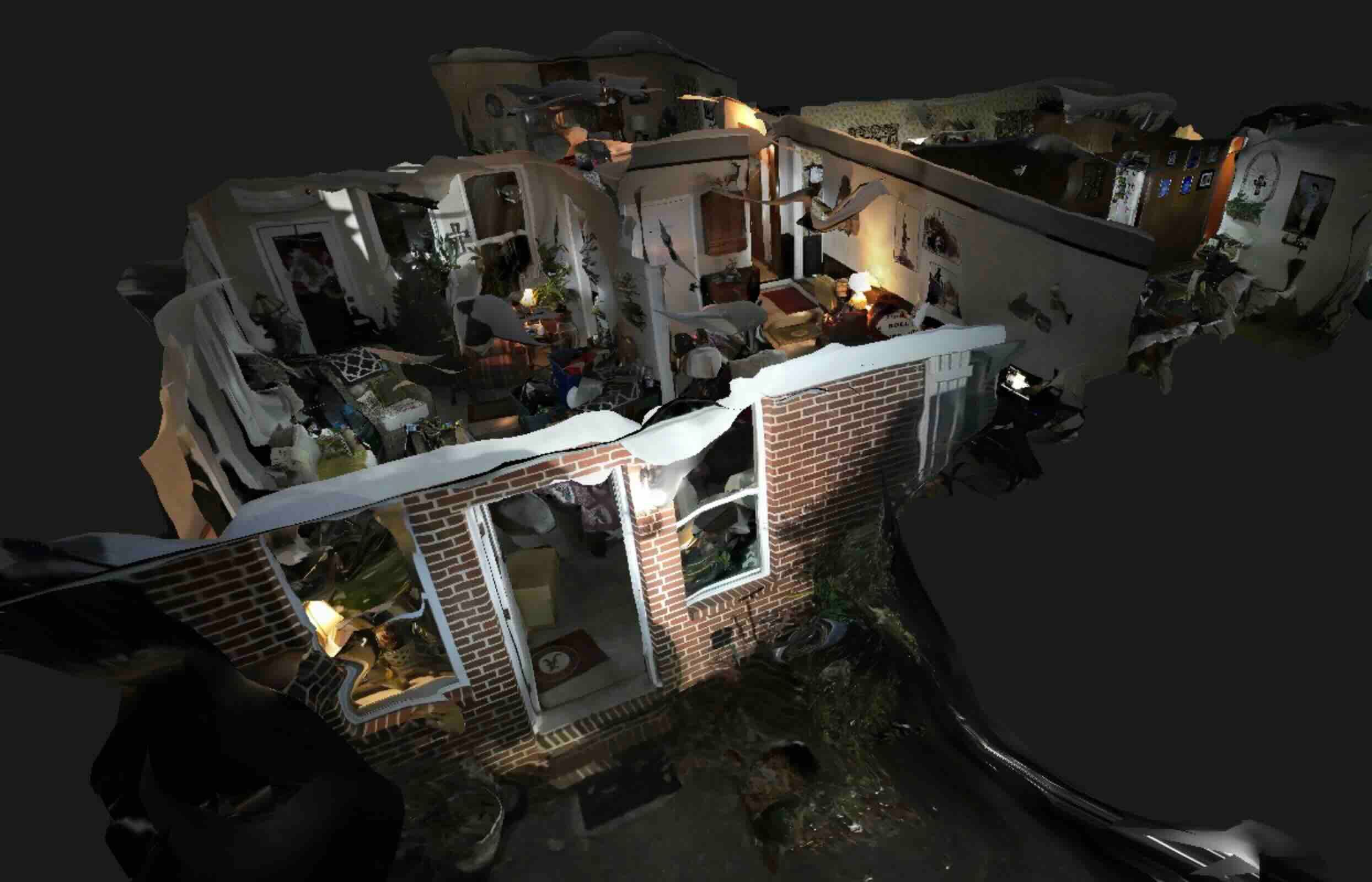
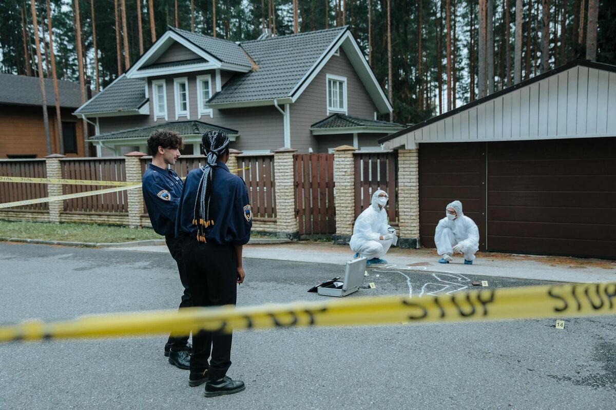
Crime scene documentation demands equipment that investigators can deploy immediately without specialized training or lengthy setup. Evidence deteriorates, weather threatens preservation, and investigative timelines require rapid scene release. The drone platform you deploy determines whether officers document scenes comprehensively in minutes or wait for specialist units that delay investigations and risk evidence loss.
Contents
- Patrol-deployable drone requirements
- Platform comparison for law enforcement
- Collision scenes vs. outdoor crime scenes
- FAA Part 107 compliance and agency policies
- Processing workflows for courtroom evidence
- Get a SkyeBrowse quote
Patrol-Deployable Drone Requirements
Effective crime scene drones must launch within minutes of arrival, operate without FAA waivers in most scenarios, and generate documentation that meets evidentiary standards. Patrol officers—not specialist drone units—should be able to operate the equipment, capturing scenes before being released to traffic or weather.
Weight and portability matter: a 249-gram drone (DJI Mini series) avoids recreational registration requirements and operates under Part 107 exceptions that larger aircraft don't qualify for. Patrol vehicles have limited equipment space, favoring compact systems that don't displace essential gear.
Flight time affects coverage: a collision scene spanning 200 feet requires 5-8 minutes of video capture. Drones with 25+ minute flight times complete documentation on single batteries, avoiding mid-scene battery changes that risk continuity challenges. Shorter flight times force multiple battery swaps, complicating documentation and extending scene occupation.
Platform Comparison for Law Enforcement
| Drone Platform | Law Enforcement Use | Operational Considerations |
|---|---|---|
| DJI Mini Series (249g) | Patrol deployment, collision reconstruction, general crime scenes | Part 107 exceptions, extremely portable, 25-30 min flight time, 4K video sufficient for processing |
| DJI Mavic Series (500-900g) | Specialist units, complex scenes, tactical operations | Superior cameras, obstacle avoidance, wind resistance, but requires Part 107 registration |
| DJI Phantom Series (1400g) | Legacy systems, detailed documentation | Larger/bulkier, longer setup, being phased out in favor of Mavic/Mini platforms |
| Fixed-Wing Drones | Large-area searches, rural scenes | Require hand-launch, longer flight times, complex operation unsuitable for general patrol |

Collision Scenes vs. Outdoor Crime Scenes
Traffic collision documentation: A two-vehicle fatal collision at an urban intersection. Traffic investigators need measurements showing vehicle final positions, skid marks, debris fields, and roadway geometry. Traditional documentation takes 2-3 hours, blocking traffic and consuming investigator time with tape measures and sketching.
Drone deployment compresses documentation to 10-15 minutes. Patrol arrives, launches the Mini 4 Pro, flies a 5-minute grid pattern over the scene capturing video, lands, and uploads footage for processing. Traffic investigators review the 3D model remotely, taking measurements and preparing reconstruction analysis without remaining on-scene. Intersection reopens in 30 minutes vs. 3 hours, reducing traffic impact and officer roadway exposure.
Processing tier selection: Collision reconstruction supporting potential prosecution should use Premium or Premium Advanced tiers. Defense experts will scrutinize measurements—0.25-foot accuracy (Premium) or 0.1-foot accuracy (Premium Advanced) withstands cross-examination better than Lite tier's relative accuracy claims.
FAA Part 107 Compliance and Agency Policies
Part 107 basics for law enforcement: Commercial drone operations require Part 107 certification (aeronautical knowledge test, TSA vetting). Law enforcement operations qualify as governmental operations under 107.39, allowing agencies to establish internal policies rather than obtaining individual waivers for: night operations, operations over people, and operations from moving vehicles.
Most agencies require: (1) officers complete Part 107 certification, (2) agency-specific training on department drones and policies, (3) documentation procedures ensuring chain of custody. This framework satisfies FAA requirements while maintaining operational flexibility that law enforcement response demands.
Operational restrictions to understand: Part 107 prohibits operations over 400 feet AGL (rarely an issue for crime scenes), requires visual line of sight (drone must remain visible to operator), and restricts operations near airports without authorization (LAANC authorization available instantly for most controlled airspace up to approved altitudes).
Processing Workflows for Courtroom Evidence
Chain of custody documentation: Video captured at crime scenes becomes evidence requiring chain of custody. Establish procedures: (1) officer documents capture in incident report, (2) video downloads from drone to agency-issued computer, (3) video uploads to processing using department SkyeBrowse account, (4) processed model downloads to case file, (5) original video and model archived per evidence retention policy.
Document the full workflow in standard operating procedures. When defense counsel questions evidence handling, refer to documented procedures showing systematic capture, processing, and retention practices that maintain integrity.
Authentication for trial: Courts admit 3D models when foundation testimony establishes accuracy and relevance (see Best 3D Model Viewers for Court article for detailed foundation requirements). Key authentication elements for drone-captured models:
- Who captured: Officer name, assignment, training/certification
- When captured: Date/time relative to incident (preferably within hours)
- What device: Drone model, camera specifications, flight pattern
- How processed: Software used, processing tier, accuracy verification
- Why reliable: Control measurements, verification checks, established methodology
Get a SkyeBrowse Quote
Law enforcement crime scene documentation demands drone platforms that patrol officers can deploy immediately and processing workflows that meet evidentiary standards. If your agency needs patrol-deployable systems for collision reconstruction, outdoor crime scenes, or officer-involved incident documentation, SkyeBrowse provides the processing tiers and authentication support that law enforcement evidence requirements demand.