Reality capture is the process of measuring a physical environment and converting it into accurate, georeferenced digital data: point clouds, 3D meshes, orthomosaic maps, or full digital twins. The term names a technology category, not a brand, covering LiDAR scanning, photogrammetry, structured light scanning, and videogrammetry, each suited to different scenes, budgets, and turnaround requirements. This guide breaks down every major method and shows where drone-based videogrammetry is changing how fast construction, public safety, and insurance teams capture and use spatial data.
Key Takeaways
- Reality capture is an umbrella term for any technology, including LiDAR, photogrammetry, structured light, and videogrammetry, that converts physical environments into precise digital spatial data.
- "RealityCapture" (capital R, capital C) is a proprietary photogrammetry software product by Epic Games. "Reality capture" (lowercase) is the broader field it belongs to.
- Videogrammetry, deriving 3D geometry from video frames instead of individual photographs, is the fastest field-to-model method available today, with some platforms delivering usable models in minutes.
- ASPRS positional accuracy standards and NIST measurement guidance define the independent benchmarks for what "accurate" means in any reality capture output.
- SkyeBrowse's cloud videogrammetry platform converts drone video into 3D models and orthomosaic maps without desktop processing hardware, putting sub-inch-accurate reality capture within reach of field teams flying a standard drone.
Contents
- What is reality capture and how does it work?
- What are the main reality capture methods?
- How accurate is reality capture data?
- What is reality capture used for in construction?
- What is the fastest way to capture a scene in the field?
- FAQ
What is reality capture and how does it work?
Reality capture is any process that collects spatial measurements from a physical environment and converts them into a digital model. The source data can be laser pulses (LiDAR), overlapping photographs (photogrammetry), structured light patterns, or continuous video frames (videogrammetry). The output is always georeferenced spatial data: a point cloud, a 3D mesh, or a 2D orthomosaic map that accurately represents real-world geometry.
Every reality capture workflow follows three stages: data collection in the field, geometric reconstruction in software, and export of deliverables. What differs is the sensing technology and processing path.
LiDAR (Light Detection and Ranging) fires laser pulses and measures time-of-flight to calculate distances, producing dense point clouds even in low light. Photogrammetry matches features across overlapping photographs and uses triangulation to compute 3D coordinates. Structured light scanning projects known light patterns onto a surface and measures the deformation, common for small-object or indoor industrial work. Videogrammetry applies the same photogrammetric math but sources its input frames from video instead of individual stills, cutting field time because a single flight or walkthrough generates thousands of usable frames automatically.
These outputs feed directly into digital twin technology platforms, GIS systems, BIM workflows, and legal evidence packages, all sharing the same underlying spatial data format.
What are the main reality capture methods?
The four primary reality capture methods are LiDAR, photogrammetry, structured light scanning, and videogrammetry. LiDAR produces the densest point clouds and works in poor lighting. Photogrammetry yields photorealistic textures from overlapping images and is the most widely deployed drone method. Structured light scanning excels at close-range industrial or heritage subjects, and videogrammetry offers the fastest field-to-model turnaround by deriving frames from continuous video.
Each method carries a distinct accuracy ceiling, hardware cost, and processing time, so "best method" is highly situational.
LiDAR systems on drones, ground platforms, or tripods reach point densities exceeding 1,000 points per square meter and sub-centimeter accuracy with a high-grade IMU/GNSS. The USGS 3D Elevation Program uses airborne LiDAR as its primary elevation data source for that consistency, though quality payloads start at $15,000 and need skilled operators.
Photogrammetry remains the dominant drone-based method for large outdoor scenes. Overlapping nadir and oblique images are processed through structure-from-motion (SfM) algorithms to build dense point clouds and textured 3D meshes. The ASPRS Positional Accuracy Standards for Digital Geospatial Data define the Class 1 through Class 3 tiers drone surveys must meet for professional use, with GCPs improving absolute accuracy significantly. See our drone 3D mapping guide for the full workflow.
Structured light scanners, used in industrial quality control and heritage preservation, project a known pattern and detect surface deformation. Range is limited to under 5 meters, but accuracy can reach 0.01 mm, unmatched for small, high-detail subjects.
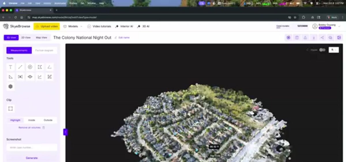
Videogrammetry is photogrammetry derived from video frames rather than discrete triggered shots. A single drone flight capturing 4K or 8K video generates thousands of input frames automatically, with no pre-planned overlap grid required, cutting field time to a fraction of a traditional photogrammetric mission. That matters for crash scenes that must clear within the hour, or storm assessments and active jobsites that can't pause for a long mission. The theory behind orthomosaic outputs is shared across photogrammetry and videogrammetry workflows.
How accurate is reality capture data?
Reality capture accuracy depends on the sensing technology, the density and quality of ground control, and the processing resolution. Well-controlled aerial photogrammetry and videogrammetry can reach 0.1 to 0.25 inch (2 to 6 mm) accuracy at the scene level, a range independent testing shows modern videogrammetry can match or exceed against traditional laser scanning. ASPRS and NIST both publish standards defining what accuracy claims must measure and report to be defensible in professional or legal contexts.
Accuracy terminology in reality capture is frequently misused. NIST's Guide to the Expression of Uncertainty in Measurement establishes that any accuracy figure needs a confidence level and a measurement method to be meaningful, since "1 cm accuracy" without specifying RMSE versus absolute or relative accuracy is not a verifiable claim.
For drone-based reality capture, the ASPRS Positional Accuracy Standards provide the industry benchmark: a Class 1 product requires horizontal RMSE at independent checkpoints not to exceed the nominal ground sample distance (GSD) of the imagery, achievable with well-placed GCPs and RTK/PPK georeferencing.
SkyeBrowse's tiered processing model maps directly to these accuracy levels. The Lite tier targets around 2 to 6 inches, sufficient for insurance claims and situational awareness. Premium processing at 8K resolution delivers around 0.25 inch, appropriate for engineering measurements. Premium Advanced processing at 16K with AI moving-object removal reaches approximately 0.1 inch, suitable for court-admissible accident reconstruction. Independent validation studies have found SkyeBrowse's videogrammetry meets or exceeds the accuracy of traditional photogrammetry and laser scanning, without requiring ground control points, using sensor fusion with GPS telemetry: .SRT (DJI) and .ASS (Autel) files uploaded with the video improve georeferencing without manual GCP placement, a workflow that drone LiDAR systems handle differently through direct-georeferencing hardware onboard the sensor.
What is reality capture used for in construction?
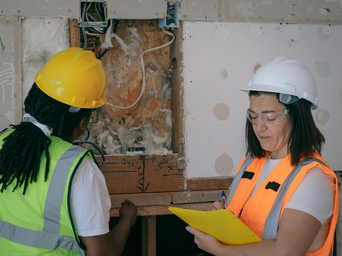
In construction, reality capture documents existing conditions before work starts (existing-conditions surveys), verifies that completed work matches design intent (as-built documentation), and monitors work in progress against schedule (construction progress monitoring). 3D reality capture in construction reduces rework costs by catching dimensional deviations before they get buried under the next phase of work.
Construction is the largest commercial adopter of reality capture. The driving use cases:
Existing conditions surveys create a georeferenced baseline before demolition or new construction, so clash detection against a BIM model can flag conflicts before they become expensive field problems.
As-built documentation of the finished structure creates a permanent spatial record, often contractually required and referenced years later for maintenance or insurance. Drone-based methods cover large extents, a warehouse floor or a utility corridor, in a single flight.
Progress monitoring flights of an active site let project managers compare current conditions against the schedule, with earthwork volumes computed by differencing successive point clouds.
Drone videogrammetry increasingly handles progress monitoring because field time is minimal (a 15-minute flight generates a complete 3D model), while LiDAR remains the choice for millimeter-precision indoor mechanical and plumbing surveys. See our construction drone services guide for the full breakdown. A regularly updated dataset is also what keeps a construction digital twin current.
What is the fastest way to capture a scene in the field?
Videogrammetry is the fastest reality capture method for outdoor and aerial scenes. A drone video flight over a site can generate a complete, measurement-ready 3D model in minutes after upload, with no pre-planned image grid, no GCP placement during the flight, and no desktop processing hardware required. For teams that need spatial data fast, first responders, insurance adjusters, and construction superintendents among them, videogrammetry closes the gap between field capture and actionable data to under an hour in many workflows.
An accident reconstruction scene may need to clear for traffic within 90 minutes of arrival, leaving little time for a traditional survey with 70%+ overlap images and GCP placement. An adjuster covering 20 storm-damaged properties in a day can't afford a 45-minute drone mission per roof either.
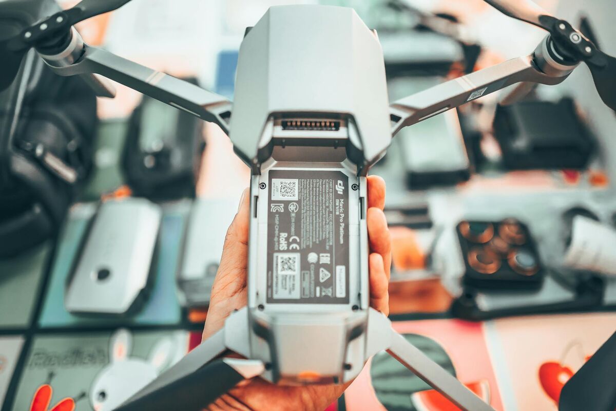
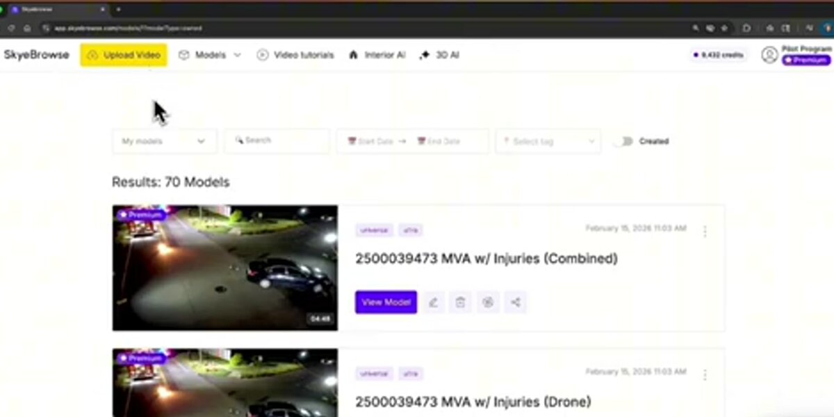
SkyeBrowse eliminates that bottleneck. Video files upload to app.skyebrowse.com through Universal Upload or the SkyeBrowse Flight App, which accepts .MP4 and .MOV files from any supported drone and pairs them with GPS telemetry automatically. Processing runs in the cloud, with no workstation, GPU, or specialist required. Deliverables include a 3D mesh (.GLB), point cloud (.LAZ), and georeferenced orthomosaic (.GeoTIFF).
More than 1,200 agencies worldwide, spanning law enforcement, fire departments, insurance carriers, and construction firms, have adopted SkyeBrowse's cloud videogrammetry because it removes the expertise barrier that once kept fast-turnaround 3D capture out of reach. See our SkyeBrowse vs. RealityCapture comparison for a feature-by-feature look at how the two approaches differ.
FAQ
What is reality capture?
Reality capture is the process of collecting spatial data from a physical environment and converting it into a precise digital representation: a 3D model, point cloud, orthomosaic map, or digital twin, using LiDAR, photogrammetry, structured light scanning, or videogrammetry.
What is the difference between reality capture and photogrammetry?
Photogrammetry is one method within the broader reality capture category, reconstructing 3D geometry from overlapping photographs. Reality capture is the umbrella term that also includes LiDAR, structured light scanning, and videogrammetry.
Is RealityCapture software the same as reality capture technology?
No. RealityCapture (capital R, capital C) is a proprietary photogrammetry product developed by Capturing Reality and now owned by Epic Games. Reality capture (lowercase) is the broader technology category encompassing any method used to digitize the physical world into spatial data.
What industries use reality capture?
Construction and engineering (as-built documentation, progress monitoring), public safety (accident reconstruction, crime scene mapping), insurance (property damage claims), real estate (virtual tours), and infrastructure inspection (bridges, utilities, rooftops).
How long does reality capture take?
Field capture time varies by method and scene size. A drone videogrammetry flight over a standard crash scene or rooftop takes 5 to 15 minutes. Processing time depends on the platform: cloud-based videogrammetry platforms like SkyeBrowse typically return a complete 3D model within minutes of upload, while desktop photogrammetry software processing large image sets can take hours.
Upload your first video free. Create a free SkyeBrowse account, upload a drone video, and get a 3D model processed in the cloud. Freemium organizations that have never had a paid plan can get their first full Commercial model for $5 (normally $24.99), with every Commercial tool, every export, and 90-day storage.