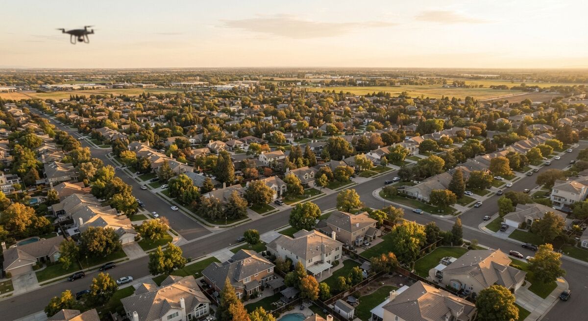
Pix4D vs DroneDeploy is the first fork in the road for most teams evaluating drone mapping software, because the two platforms solve the same problem, turning aerial photos into measurable maps and models, from opposite ends of the workflow. Photogrammetry is the technique both rely on: overlapping still photos are matched and triangulated into a 3D point cloud, then flattened into an orthomosaic, a distortion-corrected top-down map. This guide compares dronedeploy vs pix4d on pricing, platform, and best-fit user so you can pick without a 90-day trial cycle.
Key Takeaways
- Pix4D is a modular product family (PIX4Dmapper, PIX4Dmatic, PIX4Dcloud, PIX4Dsurvey) that splits desktop processing power from cloud collaboration; DroneDeploy is one unified cloud platform.
- As of 2026, PIX4Dmapper lists at $3,990/year and DroneDeploy's published Flight & Analysis plan lists at $4,188/year, roughly comparable at entry level before add-ons.
- Pix4D's desktop tools give surveyors more control over ground control points and camera calibration; DroneDeploy trades some of that control for faster, more standardized construction and inspection workflows.
- Both vendors push mid-size and enterprise buyers toward custom quotes once image volume, thermal analysis, or automation add-ons enter the picture.
- Neither platform is built for video input. Teams that want a measurable model without photogrammetry-grade flight planning have a third option in video-based tools like SkyeBrowse.
Contents
- How do Pix4D and DroneDeploy compare at a glance?
- What is Pix4D and who is it built for?
- What is DroneDeploy and who is it built for?
- Pix4D vs DroneDeploy pricing: what does each actually cost?
- Is there an alternative to both Pix4D and DroneDeploy?
- FAQ
How do Pix4D and DroneDeploy compare at a glance?
Pix4D is a modular photogrammetry suite split between desktop software (PIX4Dmapper, PIX4Dmatic) and cloud add-ons (PIX4Dcloud), giving surveyors granular control over processing settings. DroneDeploy is a single cloud platform built around fleet-scale site documentation for construction, energy, and agriculture. Both take still photos as input and output orthomosaics, point clouds, and elevation models, but they're licensed and priced differently.
| Pix4D | DroneDeploy | |
|---|---|---|
| Pricing (as of 2026) | PIX4Dmapper $3,990/yr; PIX4Dmatic from $125/mo; PIX4Dcloud tiers not publicly priced | Flight & Analysis $4,188/yr; Ag Lite $1,908/yr; Advanced tier custom quote |
| Platform / OS | Desktop (Windows) for mapper/matic; PIX4Dcloud is browser-based | Fully cloud/browser-based, iOS/Android capture app |
| Input type | Still photos (drone or ground camera) | Still photos (drone), some ground/mobile capture |
| Processing model | Local desktop compute (mapper/matic) or cloud (PIX4Dcloud) | Cloud only, no local hardware needed |
| Key outputs | Orthomosaics, point clouds, 3D meshes, DSMs/DTMs, survey-grade exports | Orthomosaics, point clouds, progress/Cut-Fill reports, thermal maps |
| Best-fit user | Surveyors, mapping professionals, GIS teams needing processing control | Construction, energy, and AEC teams needing standardized site reporting |
What is Pix4D and who is it built for?
Pix4D is a Swiss photogrammetry company that sells a family of specialized products rather than one platform. PIX4Dmapper is its flagship desktop application for producing survey-grade orthomosaics and 3D models; PIX4Dmatic handles large-scale aerial and LiDAR datasets; PIX4Dcloud adds browser-based collaboration and progress tracking on top of the same processed data.
Because each Pix4D product targets a narrower job, buyers often mix and match: a surveying firm might run PIX4Dmapper on a local workstation for control-point-heavy jobs, then push results into PIX4Dcloud so field crews and clients can view them in a browser. That modularity is Pix4D's core trade-off: more configuration and licensing decisions in exchange for deeper control over camera calibration, tie points, and coordinate systems, the kind of control the ASPRS positional accuracy standards expect from survey-grade deliverables. PIX4Dsurvey and PIX4Dcatch round out the family for CAD-ready survey exports and mobile LiDAR/photogrammetry capture, respectively.
What is DroneDeploy and who is it built for?
DroneDeploy is a fully cloud-based drone operations platform aimed at construction, energy, and agriculture teams that need repeatable site documentation rather than one-off survey deliverables. Flight planning, processing, and analysis all happen in the browser, with a mobile app for capture, so no desktop workstation or local software installation is required.
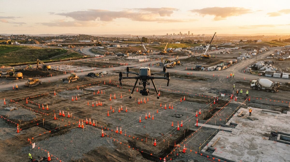
DroneDeploy's product design favors standardization over configuration: flight plans, reporting templates, and analysis tools (Cut/Fill volumetrics, progress timelines, thermal inspection) are built to run the same way across every site a company manages, which is why it shows up so often in construction and energy fleet deployments. Its published plans cap image counts per map and per year, and features like unlimited ground control point mapping, vertical facade inspection, and radiometric thermal analysis sit behind the Advanced, custom-quoted tier. Add-ons such as Progress AI, Safety AI, and Dock Automation extend the platform toward autonomous, recurring capture programs, similar in spirit to the FAA's Part 107 framework that most of these recurring commercial flights operate under.

Pix4D vs DroneDeploy pricing: what does each actually cost?
As of 2026, PIX4Dmapper's published annual license is $3,990/year, and PIX4Dmatic starts from $125/month; PIX4Dcloud's Starter, Pro, and Enterprise tiers are not publicly priced and require contacting sales. DroneDeploy's published Flight & Analysis plan is $4,188/year for a single pilot license capped at 3,000 images per map, with an Ag Lite plan at $1,908/year and an Advanced construction tier only available as a custom quote.
Entry-level list pricing lands in a similar range for both vendors, but the total cost story depends on how a team scales. Pix4D buyers often stack products: a desktop mapper license plus a PIX4Dcloud subscription for sharing, plus PIX4Dsurvey for CAD exports, each billed separately. DroneDeploy buyers hit image-volume caps first, since the $4,188/year plan is limited to 3,000 images per map, pushing high-frequency site documentation teams toward the custom-quoted Advanced tier. Neither company publishes full enterprise pricing, so the real total cost of ownership for a multi-site or multi-seat deployment only surfaces after a sales conversation. Teams evaluating dronedeploy alternatives purely on cost should budget for that gap between list price and negotiated enterprise price on both sides.
Is there an alternative to both Pix4D and DroneDeploy?
Both Pix4D and DroneDeploy are photo-based photogrammetry platforms priced and configured for surveying firms and enterprise construction operations. SkyeBrowse is a video-first alternative: instead of flight-planning a photo grid and waiting on desktop or cloud processing, a pilot flies a simple video pass and SkyeBrowse's cloud videogrammetry engine returns a measurable 3D model in minutes, starting free.
Videogrammetry applies photogrammetric triangulation to video frames instead of a curated set of still photos, which is why SkyeBrowse can skip the mission-planning step that both Pix4D and DroneDeploy require. The trade buys speed and simplicity without giving up accuracy, because videogrammetry accuracy scales with capture distance and flying closer to the subject pushes detail to survey grade: SkyeBrowse's Lite tier delivers roughly 2 to 6 inch accuracy, while Premium and Premium Advanced tiers using 8K and 16K processing tighten that to roughly 0.25 inch and 0.1 inch respectively, with AI-based moving-object removal at the top tier. Uploads run through app.skyebrowse.com via Universal Upload or the SkyeBrowse Flight App, accepting standard .MP4 and .MOV video plus .SRT or .ASS telemetry files for georeferencing, all processed on U.S.-based AWS infrastructure. Pricing starts at Freemium (free, unlimited uploads, 2 concurrent models) and Lite at $59/month, a different cost structure entirely from Pix4D's per-product desktop licensing or DroneDeploy's per-image-volume plans. Teams that have compared SkyeBrowse to Pix4D or SkyeBrowse to DroneDeploy directly tend to land here when speed and ease of use are the priority.

FAQ
Is Pix4D or DroneDeploy better for surveying?
Pix4D is generally the stronger fit for licensed surveyors, since PIX4Dmapper and PIX4Dsurvey expose detailed control over tie points, ground control, and camera calibration that produce survey-grade deliverables. DroneDeploy is built more for repeatable site documentation and progress tracking than for control-point-heavy survey workflows; see our DroneDeploy review for a deeper look at its construction-focused feature set.
Which is cheaper, Pix4D or DroneDeploy?
As of 2026, PIX4Dmapper lists at $3,990/year and DroneDeploy's published Flight & Analysis plan lists at $4,188/year, so entry list pricing is close. The real cost gap shows up in image and processing caps and paid add-ons: DroneDeploy's construction-grade features and Pix4D's cloud and survey modules are priced separately, and both vendors push mid-size and enterprise buyers toward custom quotes.
Do Pix4D and DroneDeploy require a desktop computer?
DroneDeploy is fully cloud and browser based with no local processing required. Pix4D is split: PIX4Dmapper and PIX4Dmatic are desktop applications that need a capable Windows workstation, while PIX4Dcloud offers browser-based processing and viewing as a separate product.